We’d finally emerged from the chrysalis of country-wide quarantine into a long winter weekend. Now that adventure (within reason) was back on the menu my parents and I decided a day trip was just the medicine to soothe our isolation-ravaged souls, and of the options at hand, the Catlins seemed the perfect destination.
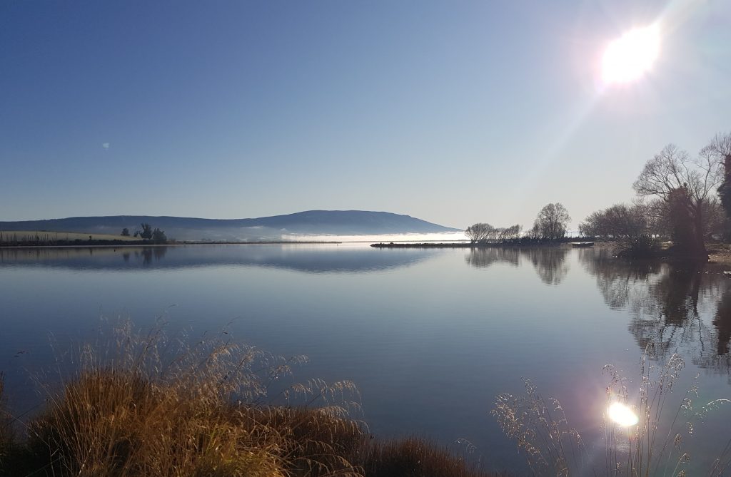
We emerged into an Otago now well into winter, the last of summer having passed us by while we weathered the season of Corona. Yet a brief pause at Waihola served to remind us that winter too is beautiful in the south.
We continued, passing through Milton and crossing the turgid Clutha at Balclutha. There we took the signposted suggestion to follow the Southern Scenic route, departing State Highway One and heading into the hills and wilds of the Catlins.
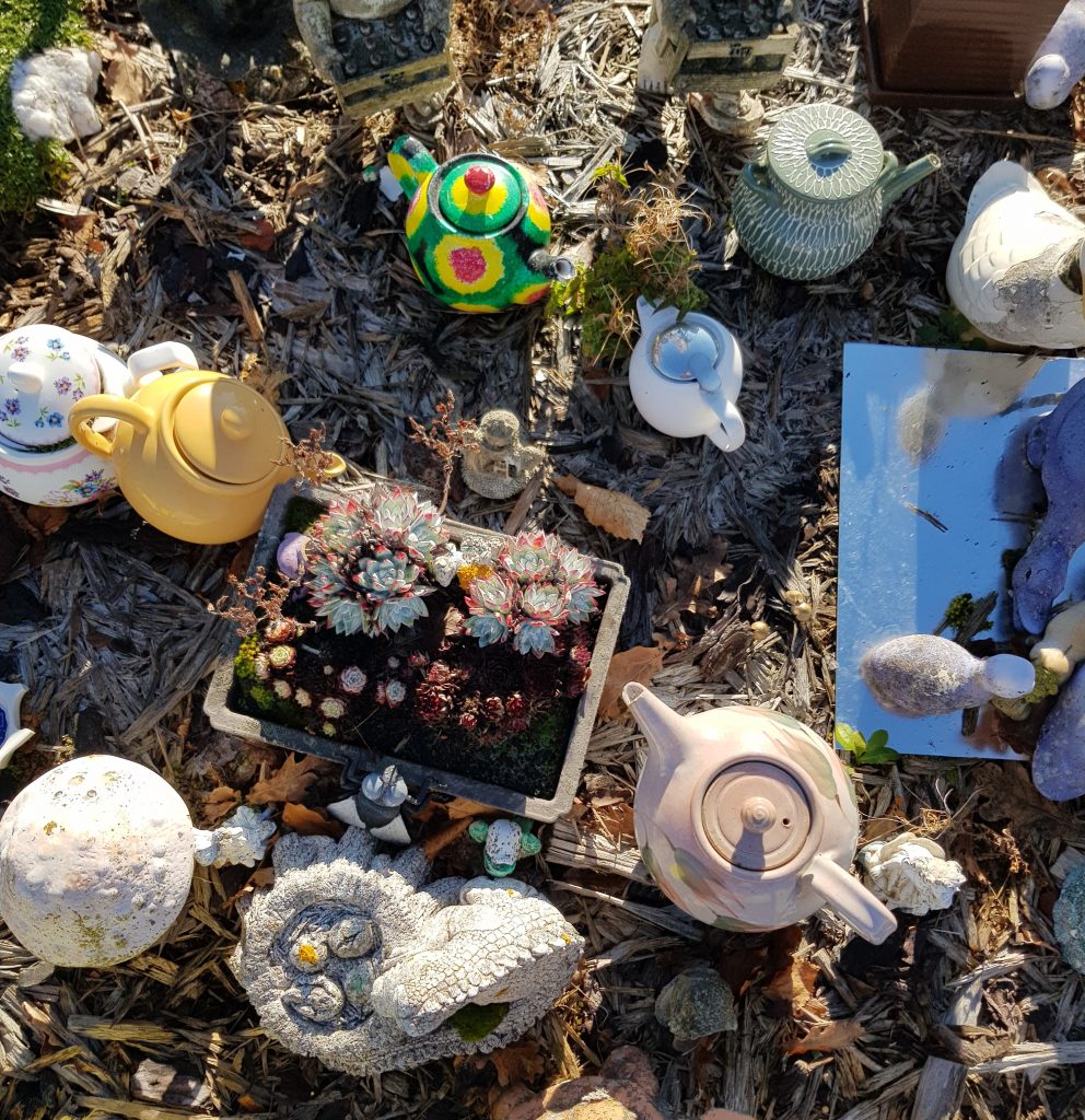
We pulled into Owaka, a quiet town of 300 souls, hoping the museum might be open. Luck was not with us there, but we were able to sample the other main attraction – Teapot Land. This is a private garden turned display for one man’s extensive teapot collection that has graced Owaka’s main street for fourteen years now, which visitors are welcome to wander and photograph.

We certainly enjoyed the variety on display, which included not only teapots but crocodiles, snakes and ducks basking in a small ornamental pond – just like a page from one of those I Spy books that were popular in my childhood.
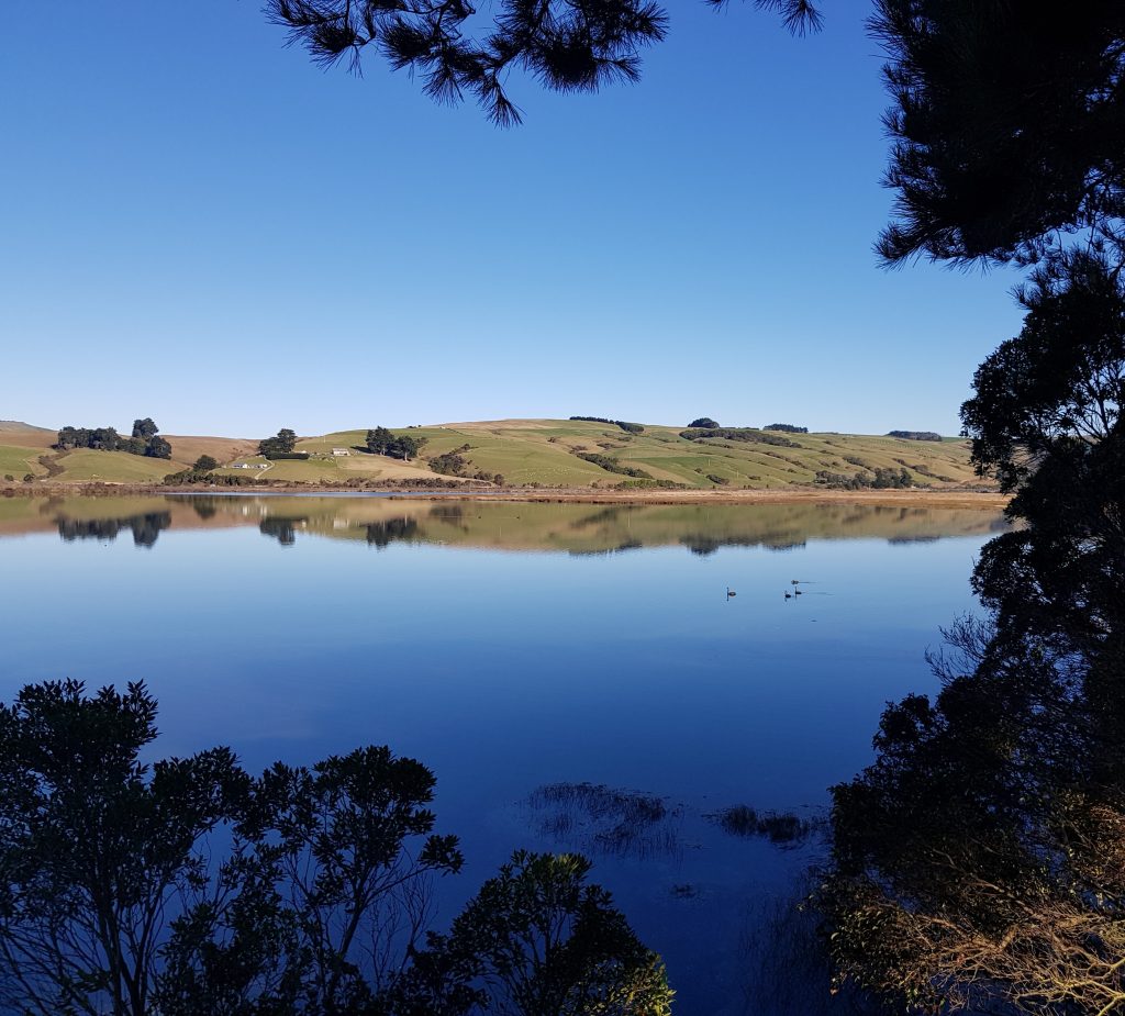
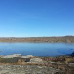
Having taken in the teapots, we continued our journey south, but didn’t get far before we found the perfect picnic spot. We pulled into a lay-by on the shore of Catlins Lake, entranced by the mirror-clear surface which perfectly reflected the clear blue sky, ruffled only by the passage of the occasional black swan.
It was strange to think that for the past month I had been living in an unprecedented time of social isolation, restricted to only my home and the daily government-sanctioned walk around my direct neighbourhood. For my parents’ own good I had spent a month apart from them, unable to foresee how the long-prognosticated pandemic would pan out.
Today things seemed so close to normal. There were other travellers on the road, who we acknowledged with nods and smiles and appropriate distancing. As I munched on a picnic packed by my parents, the kind I’ve sampled since my childhood, the whole ordeal seemed like a dream. The carnage occurring off-shore – thousands of deaths, overloaded morgues, crippled health systems – all seemed unreal, just like the realisation that we too could have ended up on this dark path, had we not united as a people to prevent it.
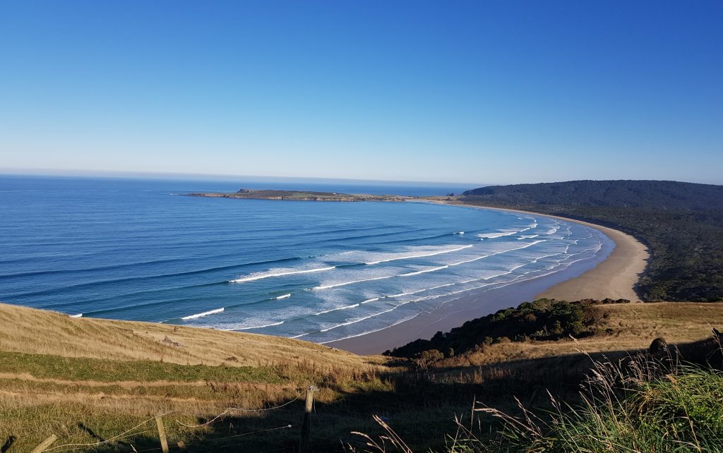
All this reflection is becoming too much – let’s move on. We proceeded southward, over Florence Hill. Topping the summit we reached the famous lookout and of course we stopped just like every other tourist that day. And just like every other tourist, we captured the view.
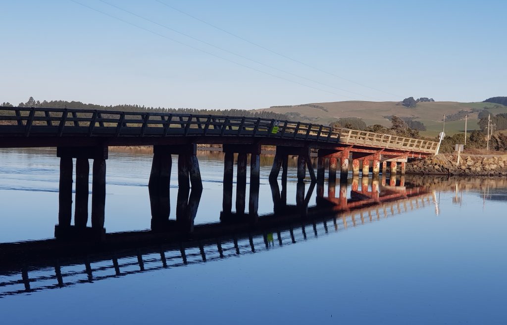
Then we descended into the forest below. This was where Dad wanted to search for beetles, while Mum and I remained behind, munching chocolates. Once he returned, we turned back. I had my own goal in mind, so I took us north again, not quite to Owaka but to the south shore of the Catlins River, where we turned east. This brought us over the Hinahina Bridge, which like everything else was absolutely magnificent on this day.
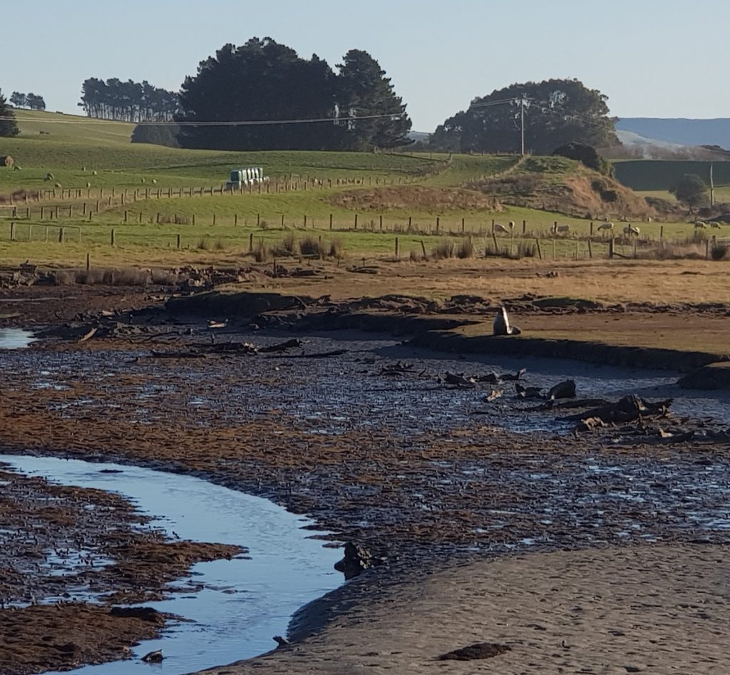
Not long after we ran into a generic “New Seal” road sign, which on the gravel road baffled us until we spotted the…literal seal. It galloped off up the stream while we marvelled at the only-in-New-Zealand weirdness of it all.
Our destination was sleepy Jacks Bay, and the reason for my visit was in the name. Because “Jack” was none other than “Bloody Jack”, or as readers of this blog might better know him: Tuhawaiki, famed early-contact rangatira of the Southland Maori.
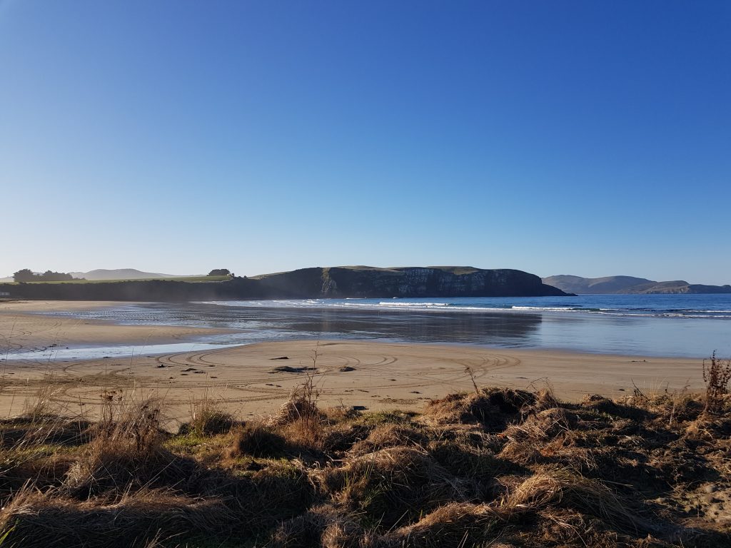
My aim was to visit – or at least view – Tuhawaiki’s Island, a place once less-delicately called “Bloody Jack’s Island”. A few of my sources had referred to this location as a stopping-place for waka travelling the coast between Stewart Island and the lands further north, and I was looking forward to untangling the tales that had become attached to it over the years.
We located the Jacks Blowhole Track, advertised at 20 minutes and this time it was only Mum left behind to guard the chocolates while Dad and I clambered over the stile and headed up the gently sloping path that cut across the headland between green pastures.
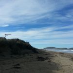
This brought us in short order to a viewing platform from which we had a view of what I assumed to be Tuhawaiki Island. It seemed a lot smaller than I’d anticipated, and I was a little cross that the angle of the wintry afternoon light was not great for photography.
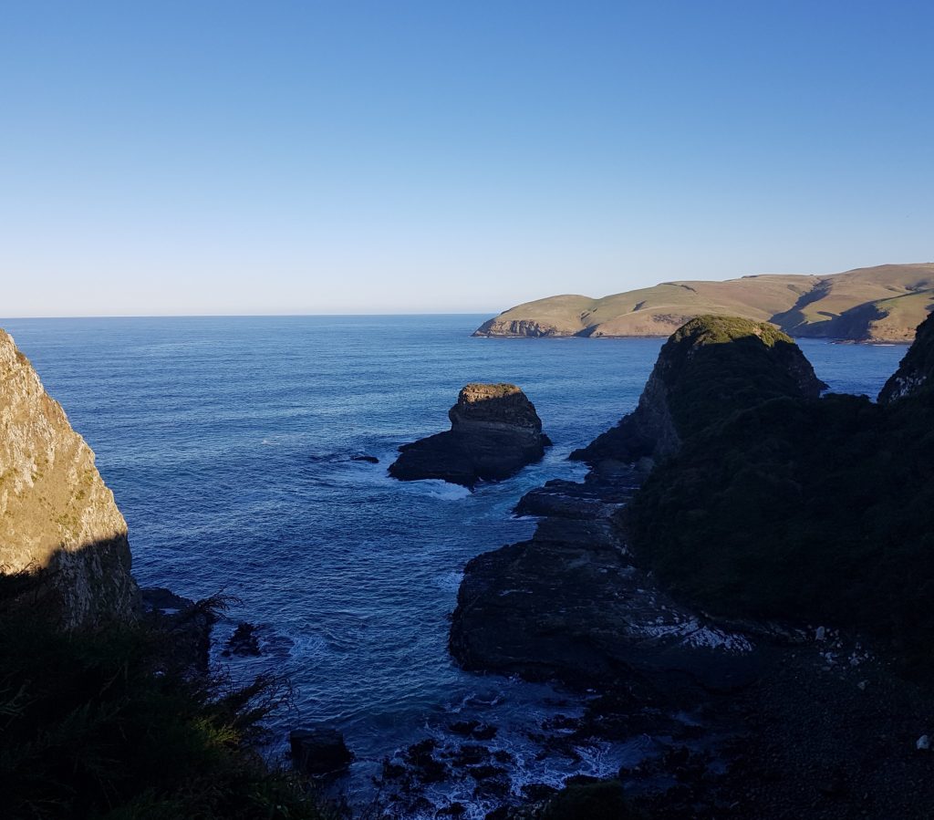
I’ll spare you the suspense and admit now that this was the wrong island. Somehow in the course of the whole visit I completely managed to miss the much larger Tuhawaiki Island sitting just off the headland to the east.
Not yet aware of my mistake I photographed the false island and continued up a much steeper hill, following the cliffs southward. Tourists have been coming this way since at least the 1890s, though those rugged early travellers would have had a much stiffer journey than us today, often walking all the way from Owaka and making their way through thick bush in the company of a local guide. Along this ridge, according to early accounts, were once two clearings that marked the sites of ancient Maori gardens. Since then the bush has been cleared, though the area around the blowhole has lately been replanted.
Soon we reached a sign notifying us of the presence of Jacks Blowhole and giving us some basic stats: 55m deep, 144m long, 68m wide and 200 metres inland from the sea.
We couldn’t actually see the blowhole through the bushes, but a faint booming and haze of rising mist spoke to the veracity of this sign.
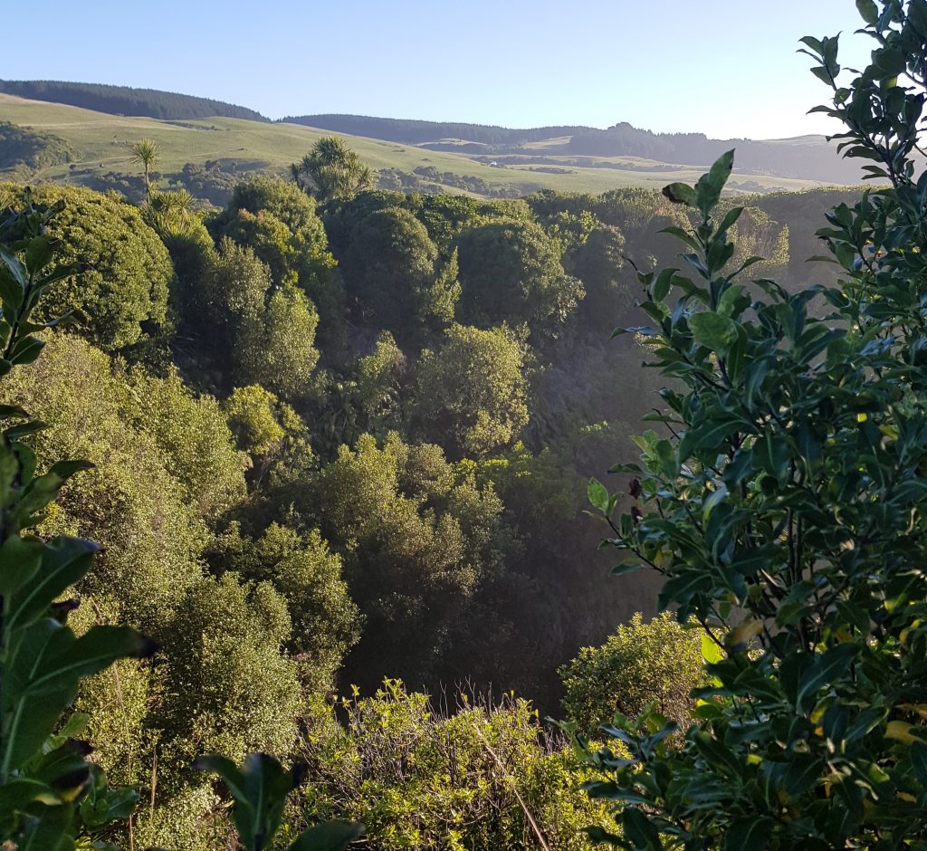
We circumnavigated the wire fence that served to protect us from mortal peril until we came to the viewing platform. Here we had the best view down into the roiling chasm, and I’ll let a 1901 visitor take the lead on describing the scene:
Looking down into this mighty abyss you see the rise and fall of the churning waters below, as they ebb and flow through their cavernous channel, which begins at the ocean…the deafening thunder of the subterranean tumult and the sombre grandeur of the surroundings produce on one a weird effect which words cannot convey, and it is with the utmost difficulty that one can shake off the dangerous fascination and turn his back on this wonderful spot.
The author goes on to recommend firing a rifle into the abyss in order to experience the reverberating echoes of the shot, however we decided that particular amusement was best left in the past.
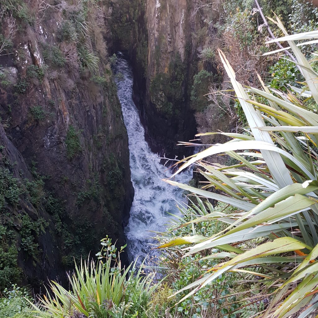
The Māori name for the blowhole is apparently Opito, meaning navel. Europeans have since called it the Devil’s Blowhole or simply the Catlins Blowhole – now we seem to have officially settled on Jack’s Blowhole, though whether “Jack” ever had much to do with it I don’t know.
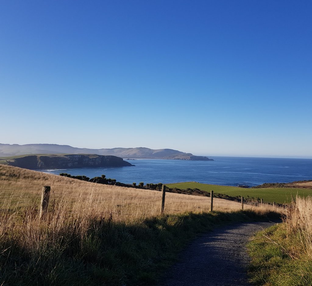
At length we managed to shake off the dangerous fascination of the place and returned the way we’d come. From the ridge we had line of sight across to Surat Bay, recalling how the stricken ship had first called here before the desperate decision had been made to run her up on to that remote sandy beach.
We regrouped with Mum and checked our chocolate supply for the journey home. We were well satisfied with our winter adventure, and allowed ourselves to hope for many more to come now that our society was slowly springing back into life.
References:
World famous in New Zealand: Catlins’ Teapot Land at Owaka by Mary-Jo Tohill
Catlins Pioneering by A.R. Tyrrell
PLACE NAMES OF OTAGO AND SOUTHLAND Southland Times, Issue 17472, 11 October 1913
SCENES FROM THE CATLINS DISTRICT. Otago Witness, Issue 2442, 2 January 1901

One thought on “Catlins Calling”