Today we had planned to climb Mount Charles, the highest point on the peninsula, but were disappointed to learn that the track is now closed indefinitely. We had to scramble to find a new challenge, and decided that a climb up to Swampy Summit would make a suitable fill-in.
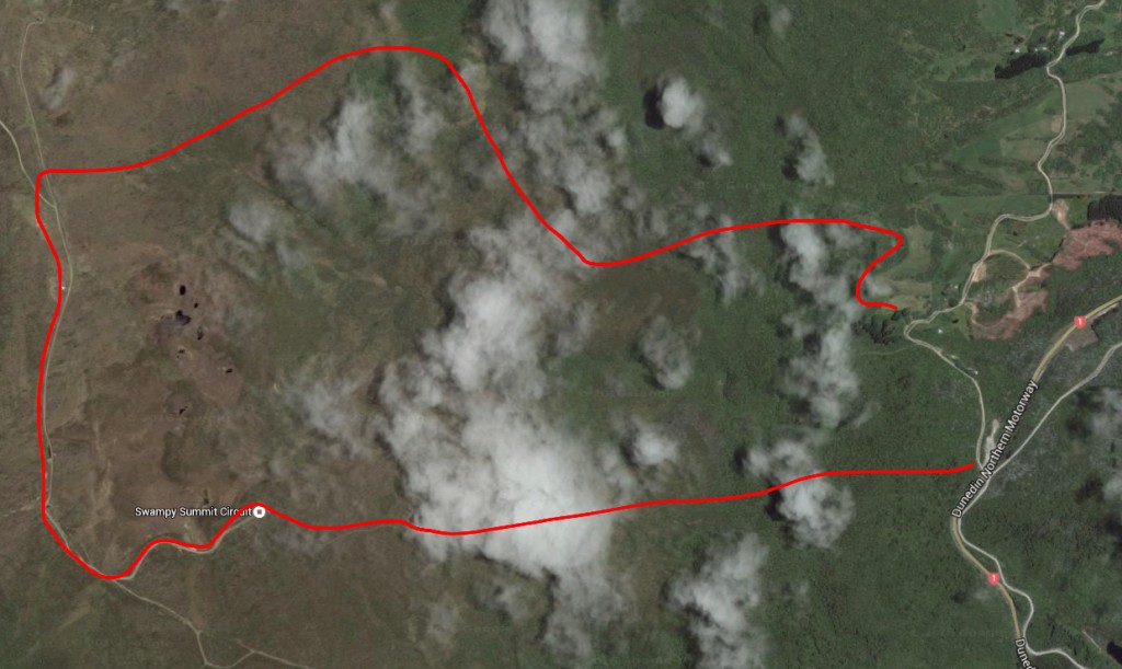 We cruised through town and up on to the northern motorway. Then as we reached the crest of the hill, we took a left on to the gravel Waitati Valley Rd. There’s some space to park just after the first bridge, and the entry to our track was just opposite.
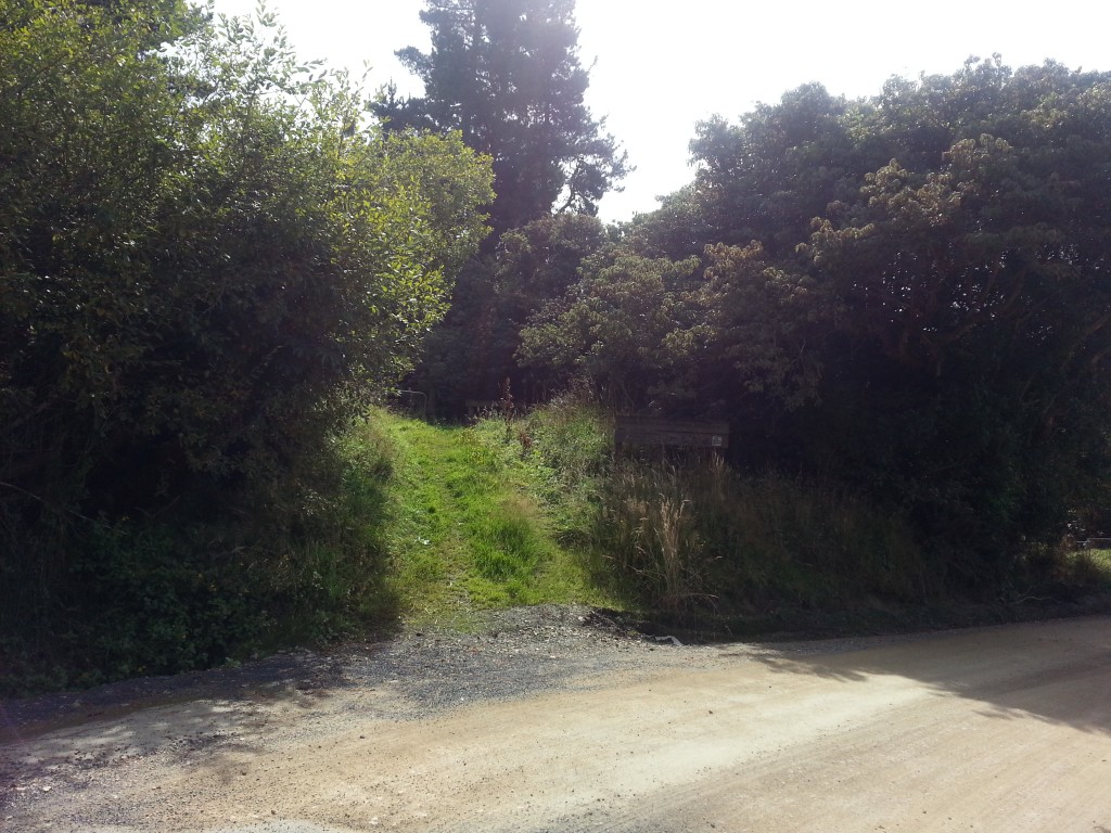
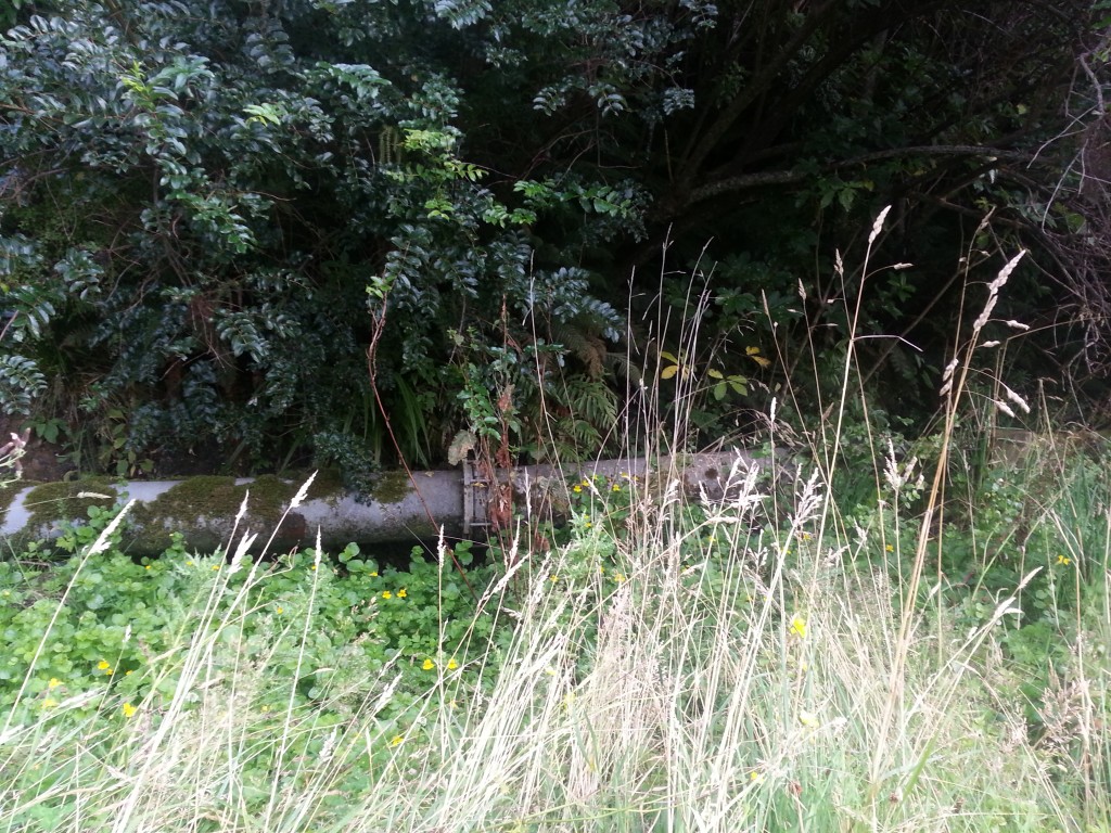
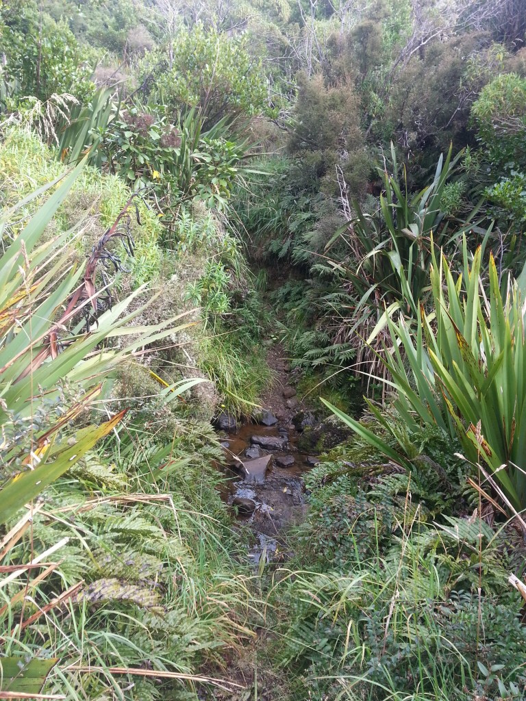
We climbed up a short incline before reaching the Pipeline Track, where we turned right and kept a lookout for the Burns Track which would take us up the hill. There is indeed a large pipe running along the edge of the track, and in the bush we stumbled across an interesting water feature.
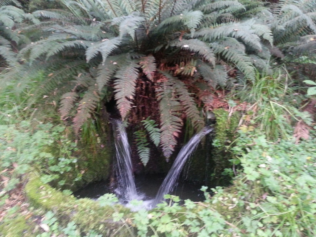
I suspect this is part of the catchment for Sullivans Dam, despite being on the other side of the Leith Saddle, as part of the design of the dam involved catching water from the Waitati basin and bringing it via a tunnel through the saddle into the Leith.
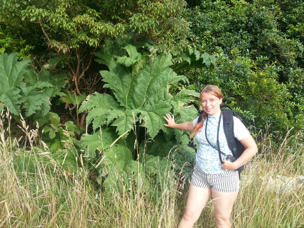
We continued along the fairly level track, we encountered some interesting plants. The first I believe may be Gunnera manicata, a bog plant from Brazil.
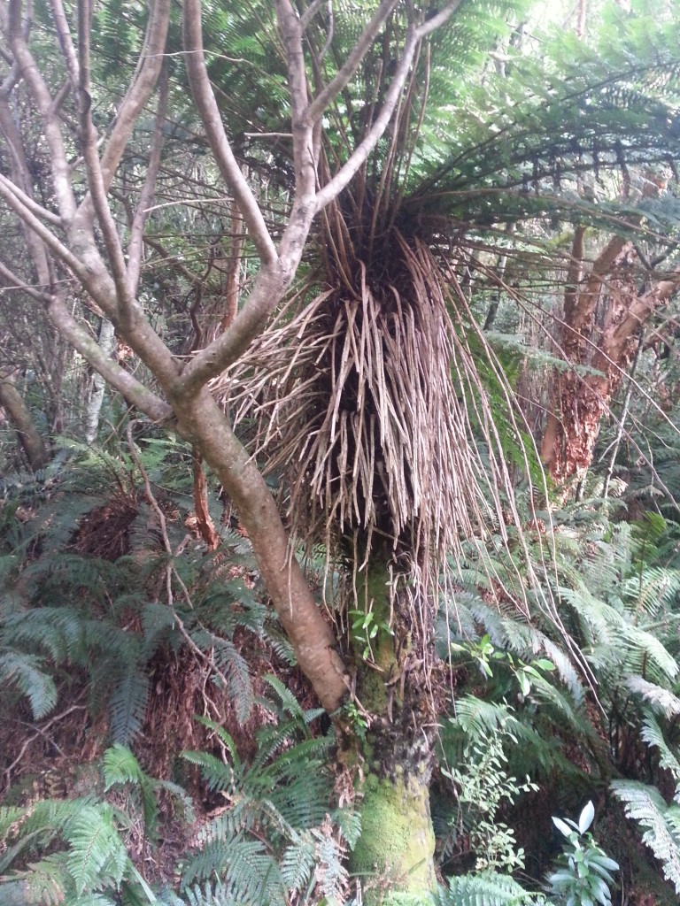
We also encountered a fairly average tree fern…with a surprising piggy-backer. Epiphytes are plants that grow on trees while getting their nutrition from the air and debris around them. But how can such a large tree survive this way? Where are the roots? On the other hand, if it’s a parasite, it doesn’t seem to be harming the fern much.
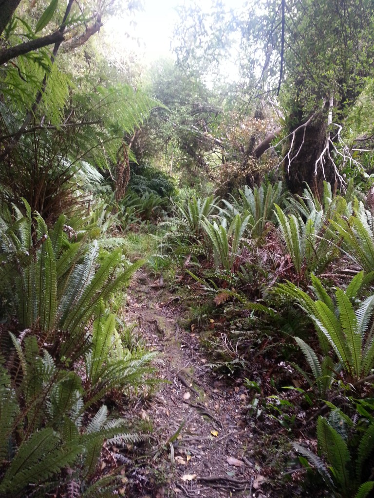
We easily located the Burns Track and climbed into the forest, which is similar to that of Leith Valley, and met a little bellbird friend who refused to cooperate for a photo.
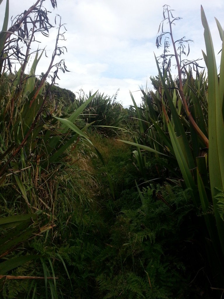
The bush began to get scrubbier as we climbed, and soon we were navigating through a narrow gap between walls of flax and gorse and lined with damp grass that soaked our shoes.
I’d been noticing the occasional nursery spider web as we proceeded, but didn’t much mind it until I almost ran into this.
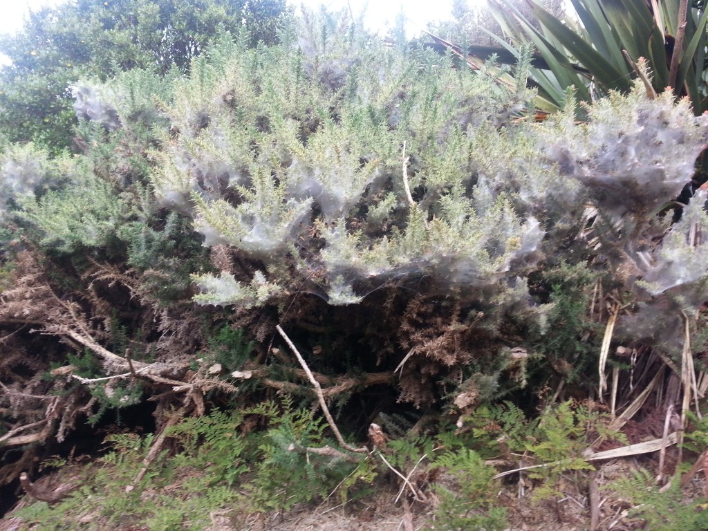
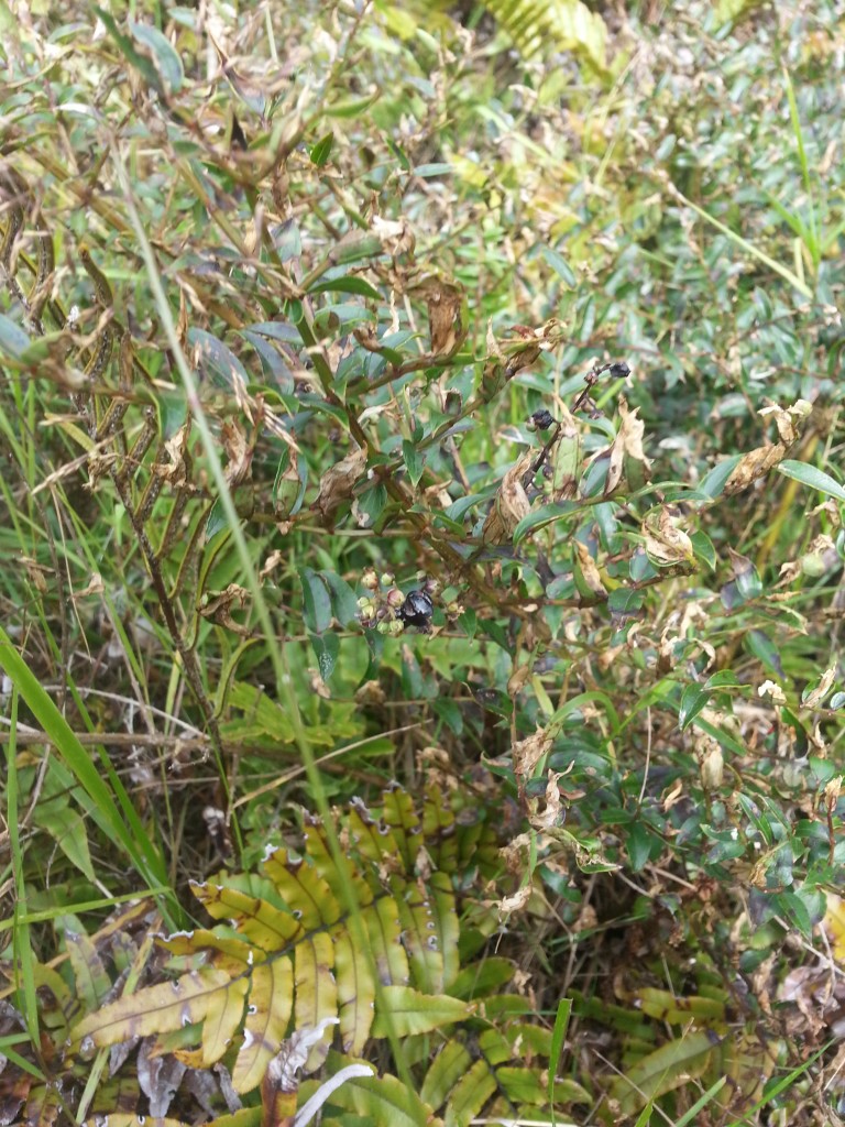
I hurried quickly onwards. We encountered some ripe blackberries on our way and refreshed ourselves with the sweet fruit. Then Dad plucked a small purple-black berry from a low-lying shrub. Since he tends to be very knowledgeable about edible plants I picked one as well, until he casually remarked: “The fruit is edible but the seeds are deadly.”
I paused with the fruit half way to my mouth.
Upon closer inspection, I found that the fruit was segmented and I could delicately pull the segments apart to separate the flesh from the seeds. This is the tutu, and it does not have true berries but rather swollen flowers – the segments being the petals.
I cautiously nibbled the flesh and found it to be sweet and tasty. The Maori used to gather the berries, crush them, and then filter them through toetoe flowers to remove the poisonous seeds. They could then drink the juice or turn it into a kind of jelly. The early European missionaries also used to make a wine out of them.
However, dear readers, I must beg you not to try this yourself. Remember that the unofficial byline of this blog is “Silly things to do in Dunedin and the world” – don’t be like me! If you accidentally ingest the seeds – or any other part of the plant – you could die.
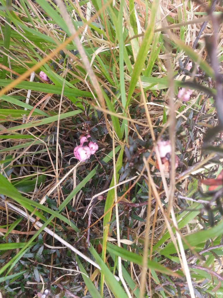
Less dangerous is the snowberry, another flower in disguise. I found the pale pink flesh to be dry and unpalatable. You’d have to be pretty desperate to try to make a meal out of these.
I am not the first person to admire the flora up here by a long shot (although I may be the silliest). Back at the beginning of the 20th century Swampy Summit and the surrounding area was a popular destination for botanical excursions, which were reported upon in the paper with breathless enthusiasm. Wouldn’t it be nice if we still lived in a society where finding a bunch of cool ferns was considered exciting news?
Once we’d finished playing berry roulette, we descended into a slight gully and crossed Burns Creek, a tributary to the Waitati River.
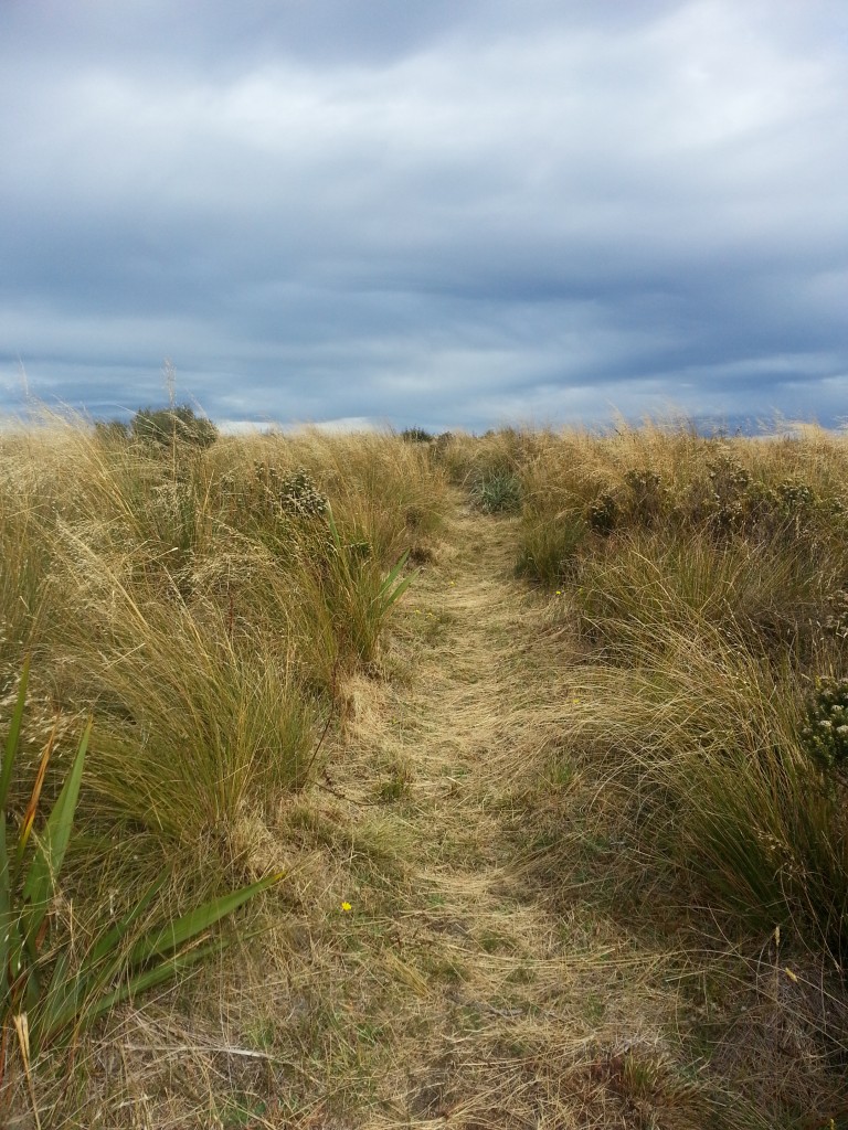
Then we scrambled up into the tussock that caps the ridge, grateful for the cooling breeze after the sweaty climb.
Behind us, Blueskin Bay shone silver in the sunlight.

It’s hard to believe, but back in the early days of Dunedin this ridge was one of only two options for travel northwards, the other being a horrifically muddy track via North East Valley. For cattle drovers, the dense bush coastwards made this the only option.
But just because this was the best option, it doesn’t mean it was good, or even tolerably safe. It was notorious for thick fogs that could hang over the plateau for days on end, causing unlucky travellers to lose their way in the endless tussocks criss-crossed with false stock trails. In 1861 a land salesman named Mr Hislop lost his way up here and was on the verge of writing a farewell note to his family before he managed to lead his exhausted horse out of the mist. He credited his survival to the sandwiches a kind hostess had packed for his journey, proving that a good sandwich should never be underestimated.
Of course, the swamp aspect also presented its challenges. In 1877 a group of men were inspecting the area for suitability as part of the Dunedin City water supply when they too were confounded by the fog. One of the horses stumbled into the bog and was only rescued with great difficulty. The party were unable to find their way down to Leith Valley and were forced to return via Whare Flat.
Lucky for us, the day was clear. We soon reached the dirt Rollinsons Rd and turned towards Flagstaff.
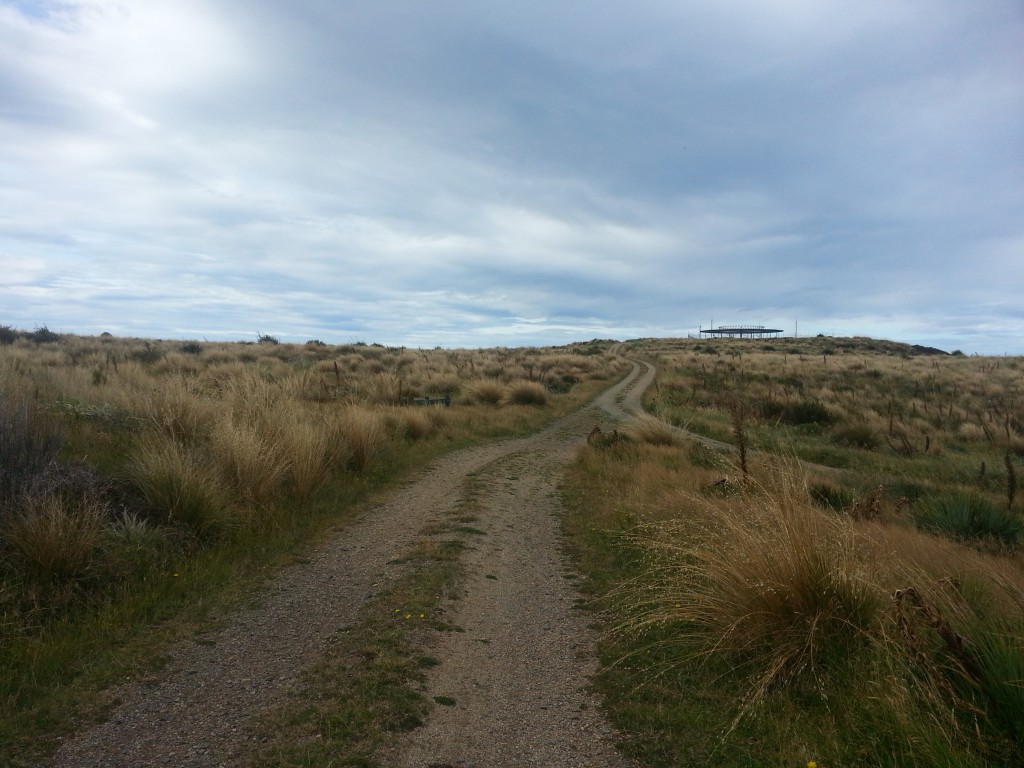
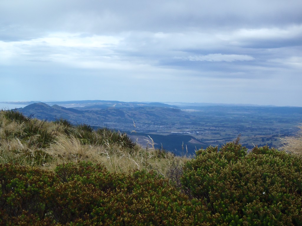
Ahead was the summit and Dunedin Airport doppler radar which helps to guide the planes. At 739 metres we were a full 63 metres higher than we were last week at the summit of Mt Cargill. From here, we could look out over the Taieri Plain and north towards the Silverpeaks.
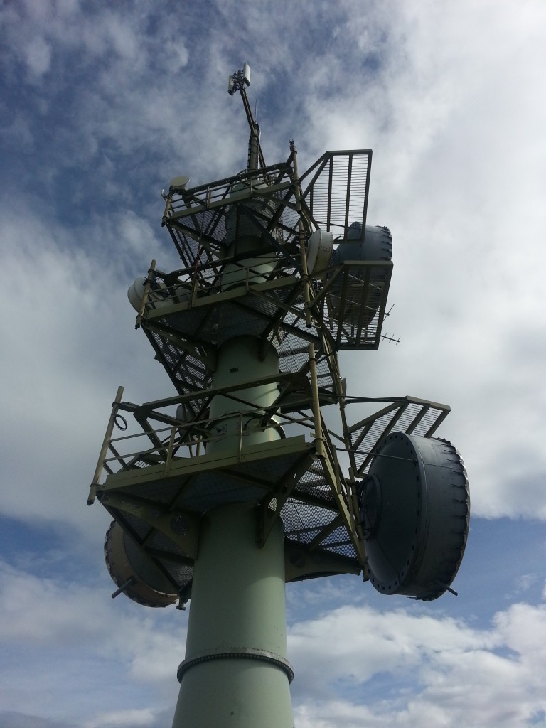
Heading onwards, we found a convenient transmitting tower to shade us while we ate lunch.
From there, we left the road and headed down the Leith Saddle Track and down to the 666 metre trig station which offered devilishly enticing 360-degree views.

We scrambled down a rough steep track until we reached the lookout, after which the going was easy! Below this point the track is wide and scrupulously maintained.
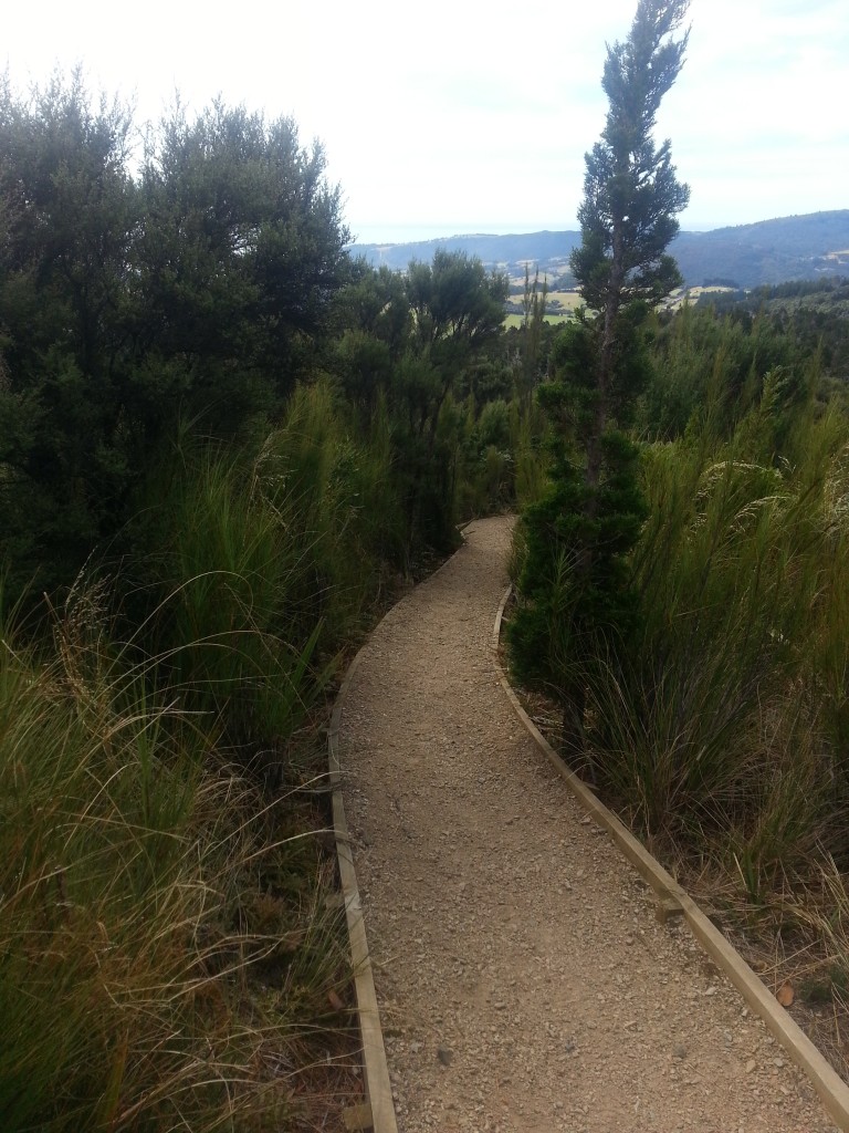
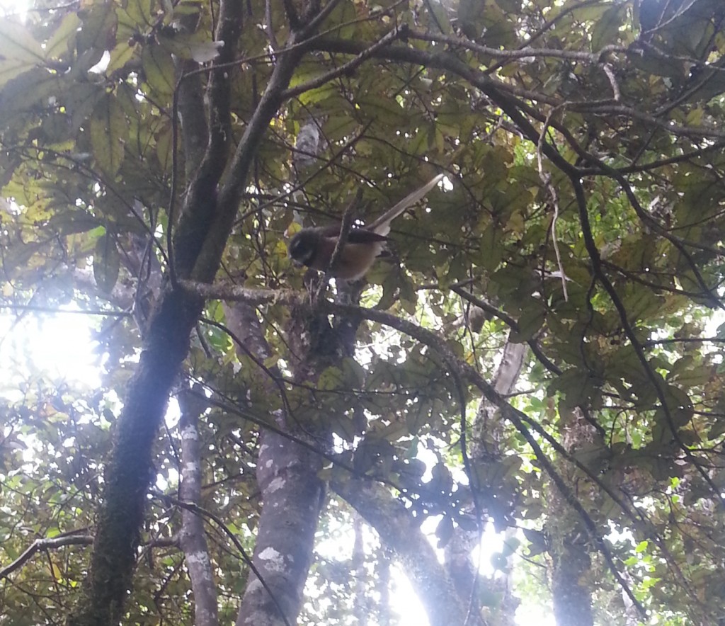
We quickly reached the forest again, where I finally found a bird that would stay still long enough for me to take a photo.
We were thankful to once again reach Waitati Valley Rd, since the four hour round trip was starting to catch up to our bodies. It wasn’t far back to the car, and we returned to Dunedin to put our aching feet up for the afternoon.
References:
SULLIVAN’S DAM Otago Daily Times , Issue 16748, 17 July 1916, Page 8
A Field Guide to the Native Edible Plants of New Zealand by Andrew Crowe
DUNEDIN FIELD CLUB. Otago Daily Times , Issue 13863, 28 March 1907, Page 2
RAMBLES HOUND DUNEDIN. Otago Daily Times , Issue 12202, 16 November 1901, Page 2
THE PROPOSED WATER SUPPLY. Otago Daily Times , Issue 4910, 12 November 1877, Page 2
Oamaru in 1852. Oamaru Mail, Volume XIX, Issue 5908, 2 April 1894, Page 4
Really enjoyed this I was born in Waitati ,so know a lot of the area.beautiful as you have found out.I love the Silver peak and tramped the often till we shifted to Tasmania 32yr ago,its a mini south island.lol enjoy your adventure I will be watching. xxxxx
Thanks for your kind words! I’ve been to Tasmania a couple of times, it’s a beautiful place!
Enjoy your walks,your photos and tips.Memories on Mount Cargill had us talking of a fast trip Warwick(husband) had by car followed by Police up M/C to repair what protesters against Miss NZ Contest appearing on TV, had destroyed, at the top they stopped jumped out, eager to get TV back on air, but Bill forgot the brake and on the hill car took off only stopping when it hit the Police car!!! We eagerly await the next installment ,Thank you.