Today our wanderings took us to an area I hadn’t visited in several years, but had enduring fond memories of. We were heading up towards Waipori Falls, site of many past family picnics and outings.
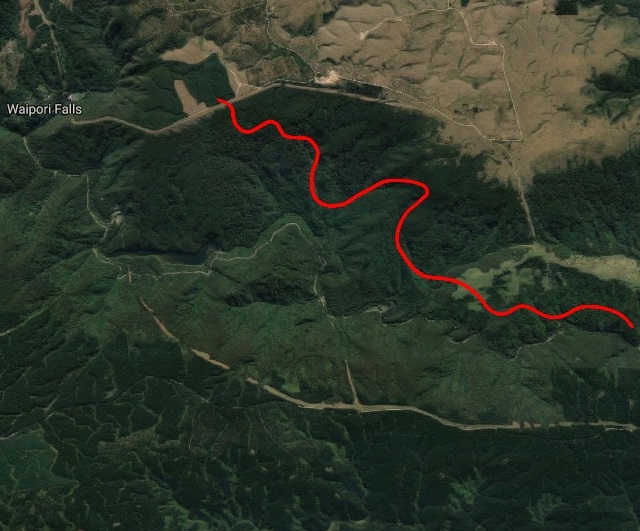
We followed State Highway 1 south past Allanton until we reached the Henley-Berwick Rd intersection. But instead of turning right to visit the old haunt of John Bull, we headed left toward the hills – shrouded in mist on this grey morning. We turned right on to Maungatua Rd and then immediately left on to Waipori Falls Rd, quickly running out of tar seal and on to dirt. As we followed the winding trail we noted a multitude of cones and a sign warning us of “surveyors”. This turned out to be very true, as every surveyor in the district appeared to have gathered here, and they’d even brought a marquee.
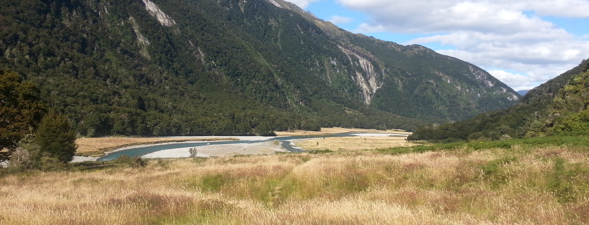
The open farm land soon closed in and we found ourselves navigating a winding road alongside the Waipori River as it flowed through its bushy gorge. Eventually we sighted the Government Track sign, but had to continue on another hundred metres until we reached the car park at a kink in the river.
We slogged up the steep initial section of the trail until we reached the gently sloped cutting that would prove typical for much of our journey.
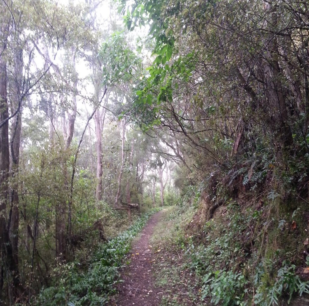
The reason for the gentle grade and generous width of this track lies in its origin as the original “road” from Berwick through to the Waipori gold fields. Over 20 men were employed over the course of 1897 to form this publicly-funded work, which was never much more than a bridle track unsuitable for wheeled traffic. When completed, it provided a cheaper alternative route to bring in supplies from Dunedin, which previously had to be carted round via Lawrence.
On the downhill side of the track, we noticed some strangely twisted trees, as if they’d gone through a confused teenage phase before coming right again.
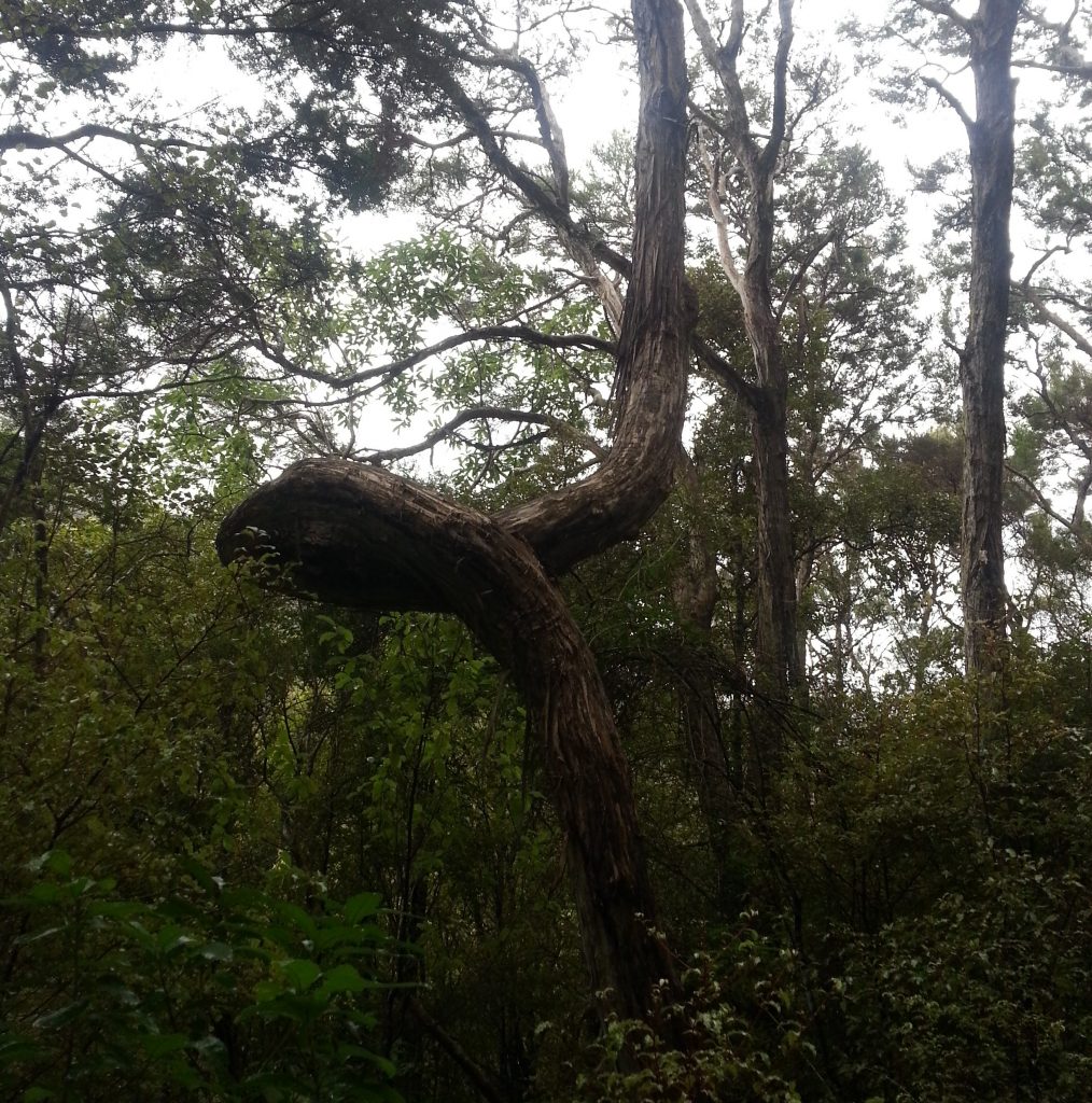
I wonder if they were pushed aside and bent as saplings by the workers as they formed the road, which would date them to at least 120 years old!
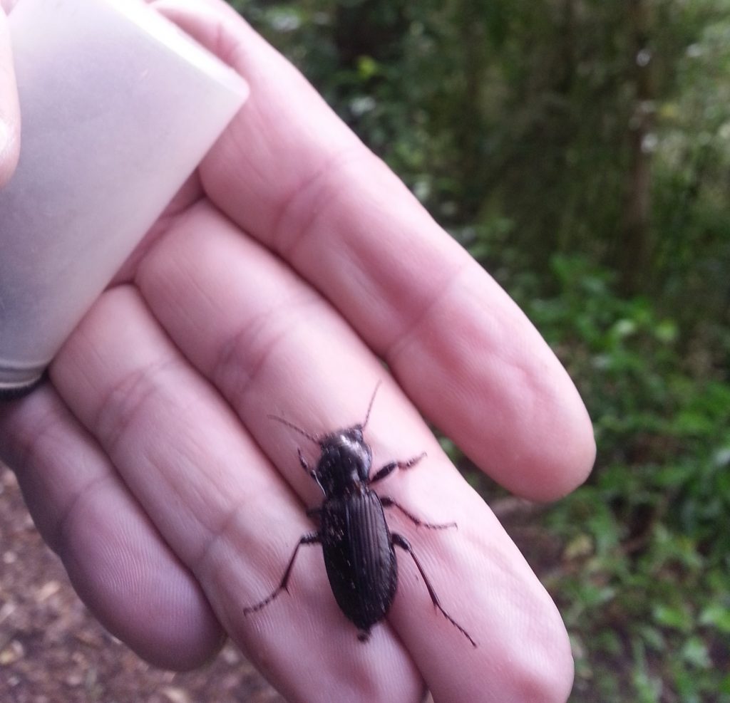
As we continued Dad found his first prize, pulling a Megadromus meritus from under a decaying log.
Continuing along the easy incline, we encountered a muddy spot before breaking out into a grassy clearing. I’d hoped to get a good picture of the hills cloaked in mist, but by the time we’d got up there the view was clear. Instead we were able to look down into the valley on the modern road and Waipori power scheme surge chamber in the distance.
The idea of generating electricity here was first floated with the intent of supplying power to the nearby gold miners, but the new company was soon bought out by Dunedin City. The first hydroelectric power system was established in 1907, consisting of a 3m wooden dam and a 2.7km native timber flume. Things have got a lot more sophisticated since, with four power stations and the man-made Lake Mahinerangi on the plateau above.
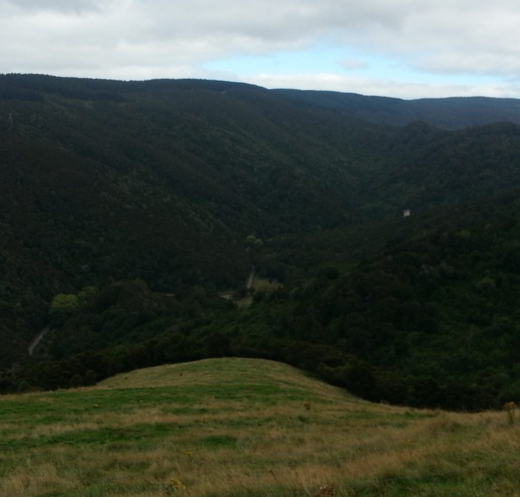
The new road to Waipori Falls, following the river along the valley floor, was proposed in 1911.
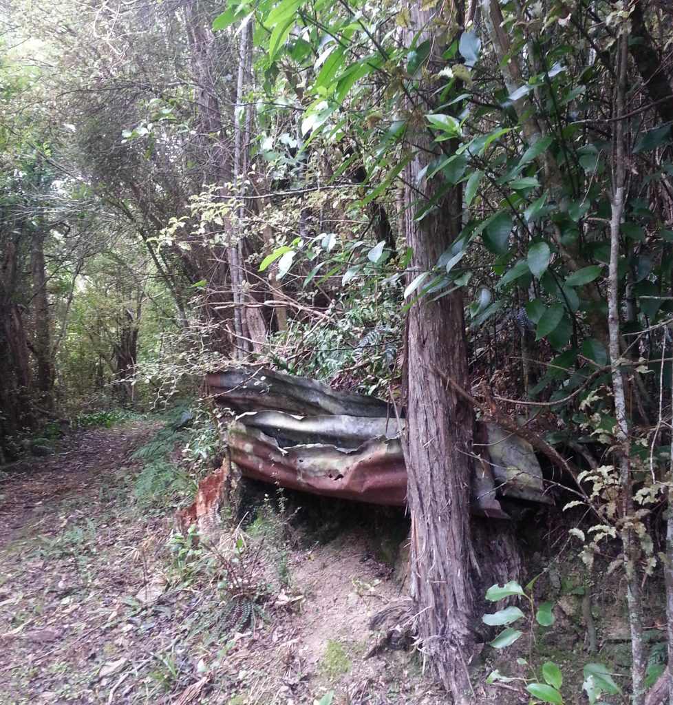
Back into the forest we headed, until we came across some slabs of corrugated iron abandoned at the track edge. To anyone else they’d be garbage, but my imagination was fired. Could this be what remains of a hut for workers or travellers? My investigation yielded no answers.
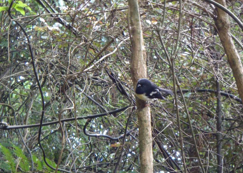
Approaching a small stream that crossed the track, I spotted movement and glanced up in time to see a ferret or stoat fleeing over the scattered stones. Soon after we found a more welcome friend flitting through the supplejack (or “tupperware” as I once called it as a child…earning endless reminders from my family).
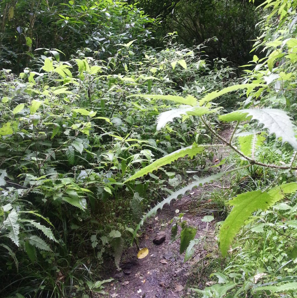
Also spotted on our travels were kereru (wood pigeons) and bellbirds. Next came our first real obstacle, a grove of native stinging nettle through which we had to shuffle cautiously. Luckily our long pants protected us!
After passing the nettle gauntlet we came across a sign warning of obstacles on the path. Undaunted, we continued to find that a bit of limbo was in order.
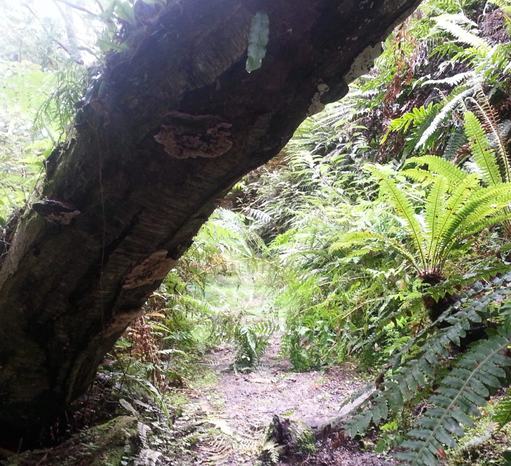
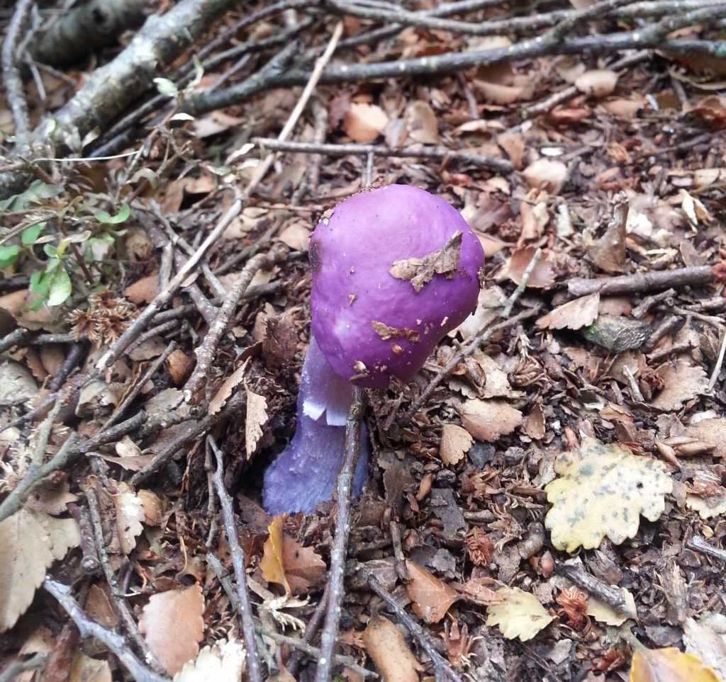
We alternately limboed and clambered past several more logs before the track returned to its original unobstructed state. As we proceeded we discovered a treasure-trove of interesting fungi. We passed a stinkhorn in full magnificent bloom and discovered a whole cluster of bright purple Cortinarius porphyroideus.
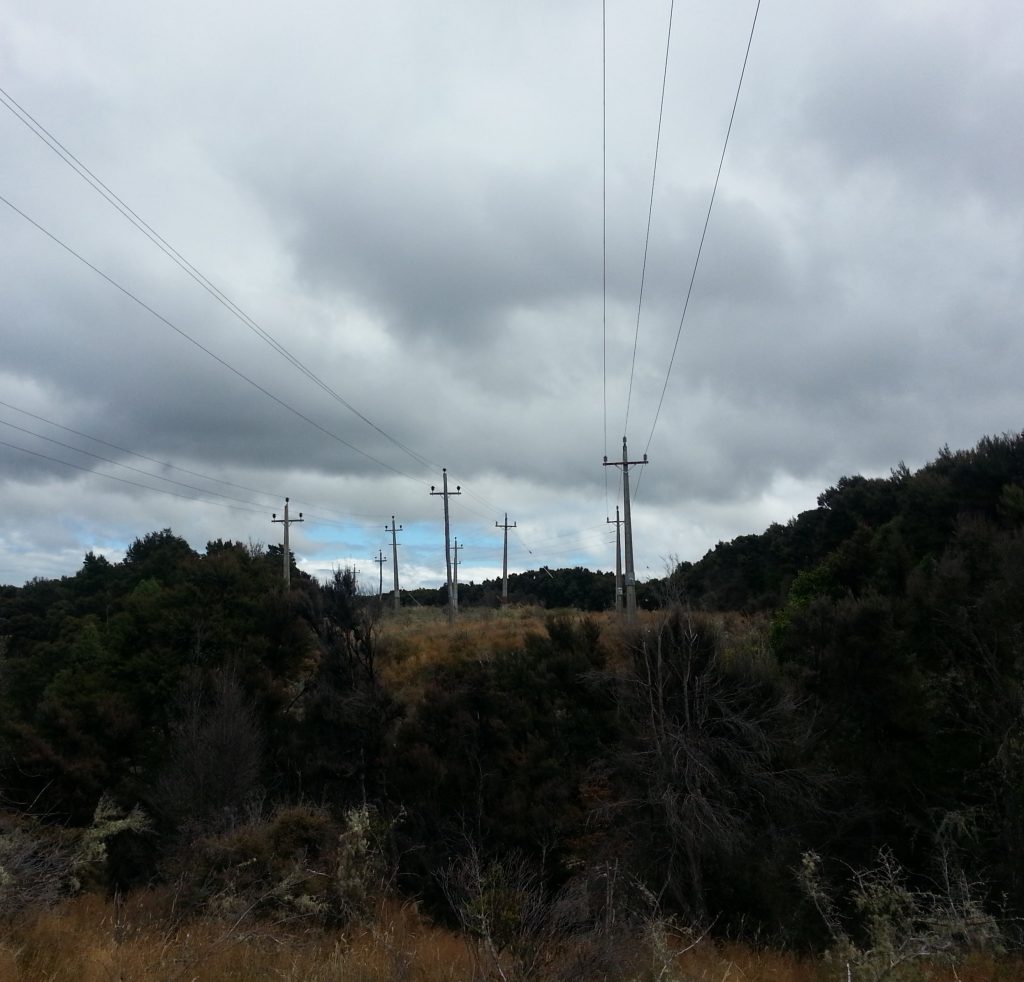
Next thing I knew, we had emerged into another clear area, with power lines hanging above us. It was here we could choose to continue down to the Waipori Falls power station or head further up on to the ridge, but instead we concluded that since we’d taken two and a half hours to come this far it might be a good moment to turn back.
So we once again passed through the fungal fields, limboed under the fallen trees, squeezed through the nettle nest and squelched across the mud until we found ourselves back at our start point. After that five hour effort I was definitely ready for an evening on the couch regardless of how gentle the track had been. I started up the car and we wended our way back out of the now surveyor-free gorge toward home and hot tea.
References:
THE WAIPORI-BERWICK ROAD. TUAPEKA TIMES, VOLUME XXVIV, ISSUE 4448, 22 MAY 1897
Otago Daily Times Otago Daily Times, Issue 15226, 19 August 1911
Love the purple Fun Guy…
good work I’m new to this area and find all your stories helpful and informative!
Thanks
Pete
Thank you!