With some young cousins visiting town, we thought it would be a good opportunity to show them a challenge. So we set our sights on Croydon Bush, a distant patch of forest in Southland, and the climb up to the tussock-clad East Peak which crowns the reserve.
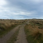
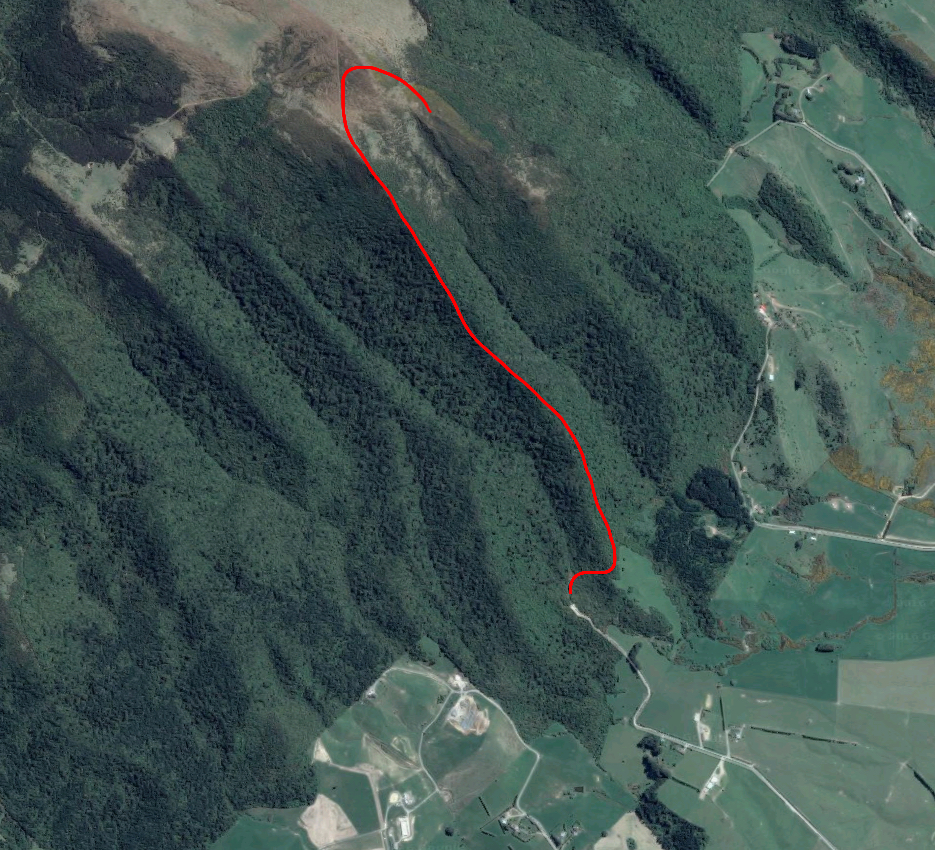 First came the two hour car ride to the bustling metropolis of Gore, where we turned on to State Highway 94. Not far beyond we took a left on to Kingdon Rd and then a right on to the appropriately named Croydon Bush Rd. This took us to a little car park encircled by bush. We piled out of the car and sorted ourselves out ready for our trek, before setting out along the gravel path.

Very shortly we came to a sign giving the option to walk to Grants Knob or up to East Peak, the first of which was apparently rather amusing. We elected to take the less funny route, which immediately crossed a small brook and began to climb, drawing complaints from our young companions. Alas, their trial by physical activity was only beginning.
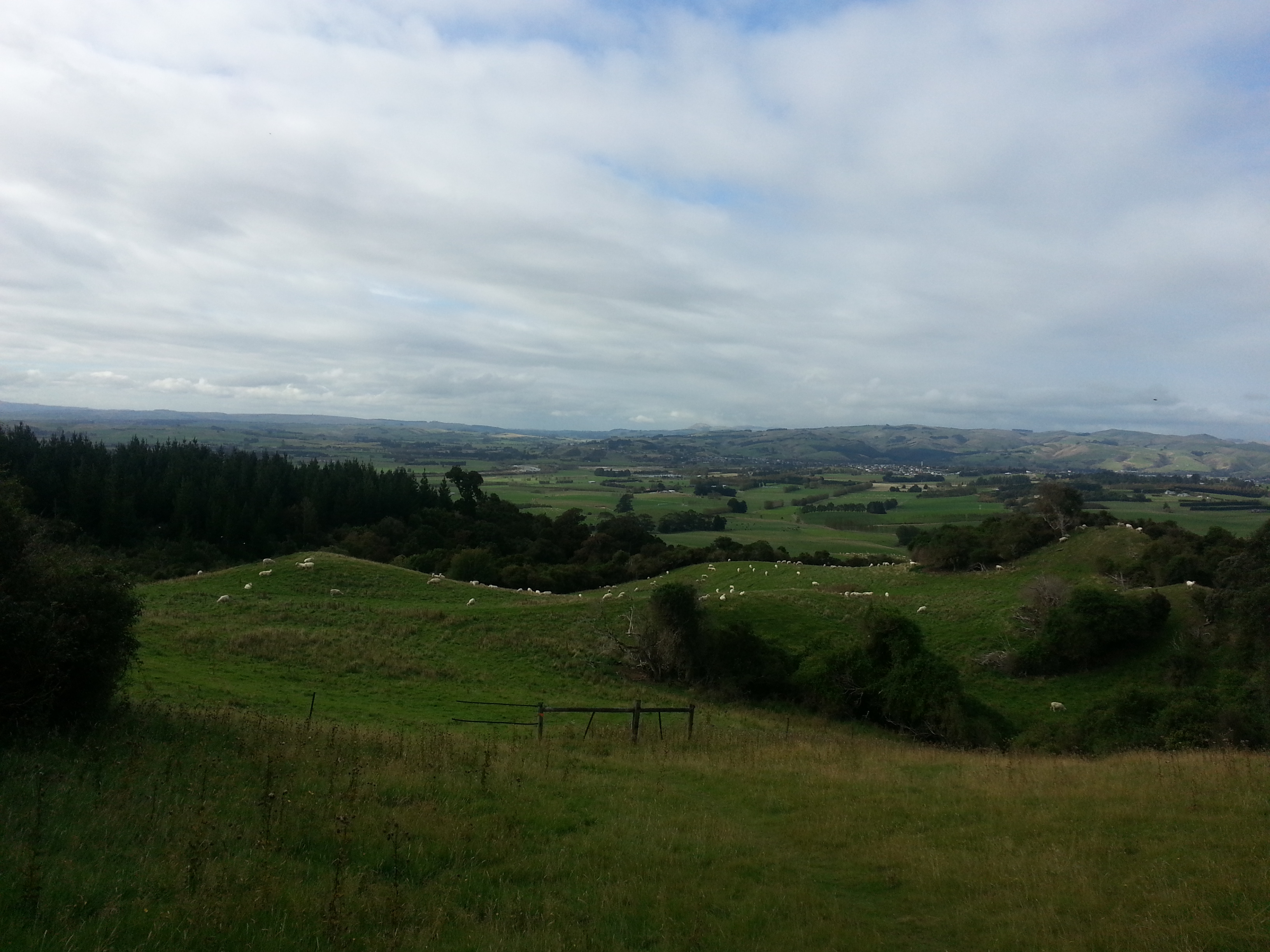
We climbed up along the forested ridge, giving us a glimpse of what much of the Southland region might have looked like before pastures and towns and sheep took over the landscape.

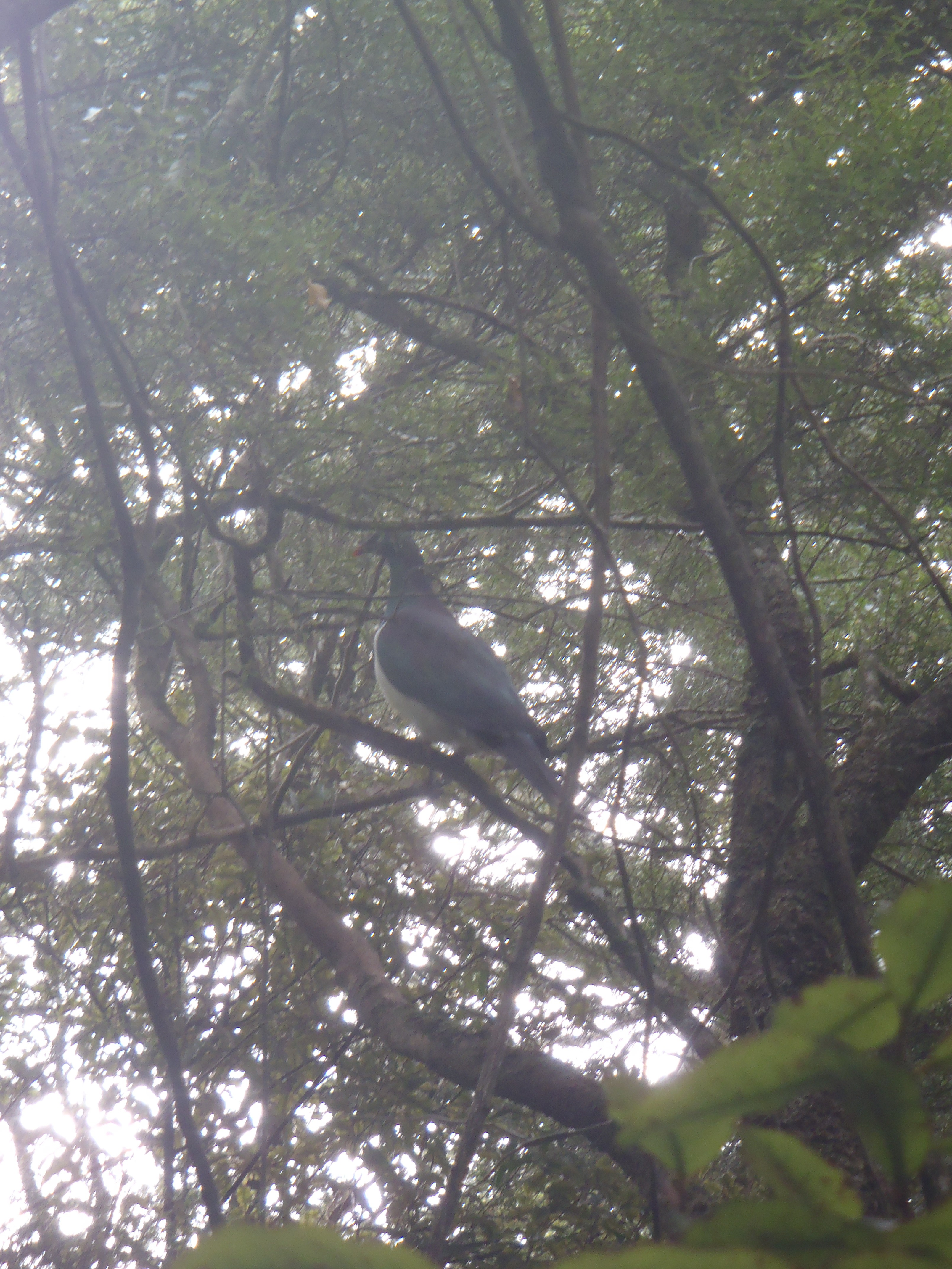
Croydon Bush is a haven for native birds, and we were joined by a kereru (wood pigeon) at one of our rest stops.
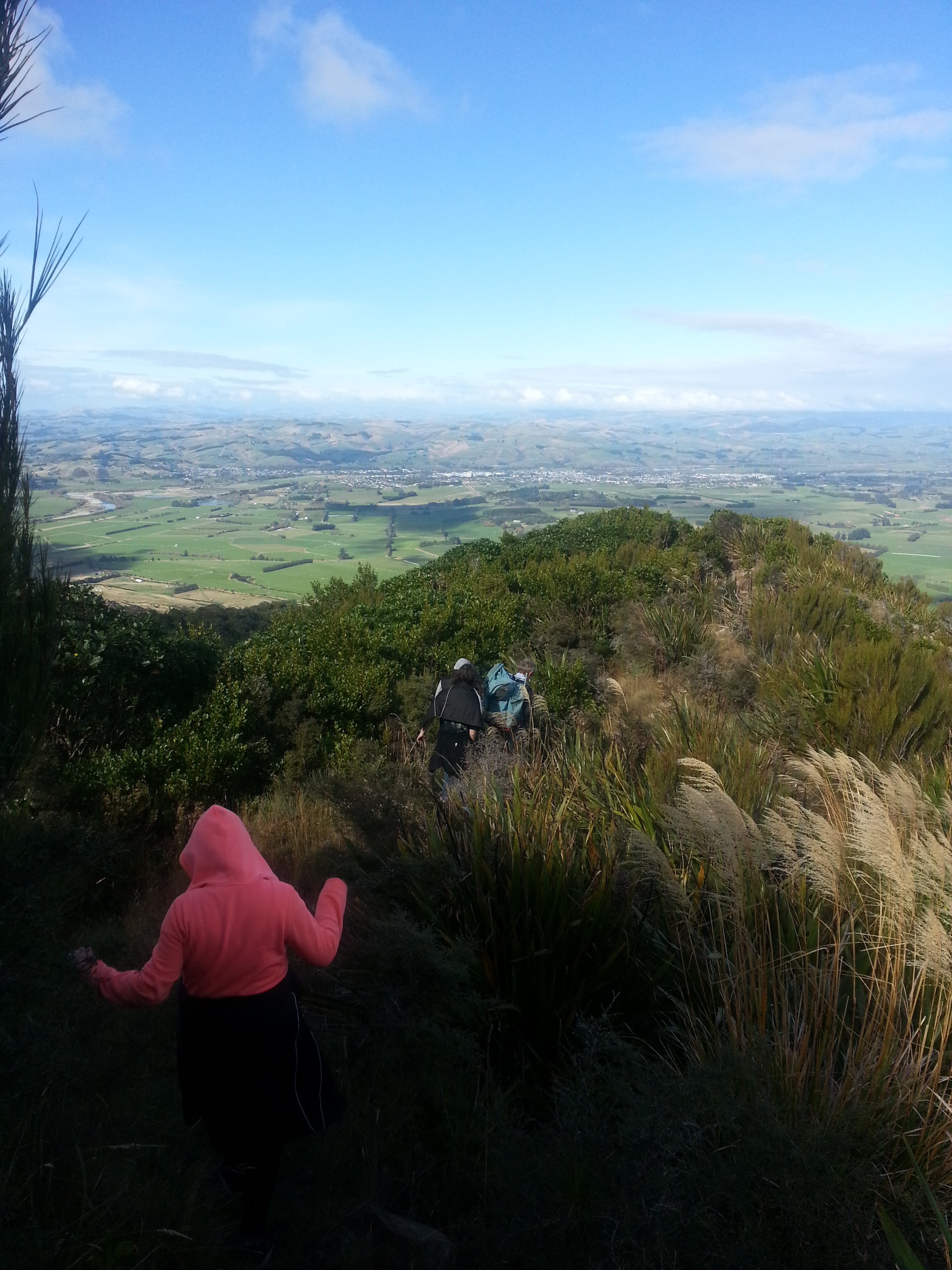
We continued step by leaden step up the steep track, a litany of unceasing complaints providing an interesting counterpoint to the occasional bird call.
Eventually we broke out into the alpine scrub which indicated we were nearing our destination. We picked our way along the boulder-clad spur and scrambled up the last few tricky slopes.
We finally reached the tussocky hillock where the track divided once again, one fork leading down via Grants Knob and the other heading for East Peak and Richardsons Track. Our exhausted young charges collapsed here and could not be convinced to walk another step. So Dad went off to look for beetles, leaving me to tackle the final trek to the summit on my own.
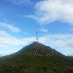
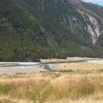
I followed a fence line and then headed up on to the peak, standing next to the fallen trig station at 627 metres above sea level. It was well worth the effort – though some people would disagree – offering amazing views of Gore, the surrounding plains, and the winding Mataura River (great for fishing!). To my back were the rolling yellow peaks of the Hokonui Hills.
I took some time to soak in the serenity, before heading back to join my companions for lunch – the only bright spot in their day of suffering.
Once we had eaten and recovered our energy, it was time to make our way back down. Since the idea of “going down on Grants Knob” was universally rejected, we returned the way we came.
We made it back safely and promised never to subject our friends to such a trial again. The adventure was voted “not fun” but “the view was nice”. I suppose there really is no accounting for taste.
If they had the breath to complain they should have made it to the top easy…
You would think so!