Today we had a special treat – an offer to show us around the historic Craigieburn site by Paul Pope, who has worked closely with the Dunedin Amenities Society to preserve and manage this unique area.
 We set off early on what would turn out to be a scorching hot day, wending our way down the winding Cannington/Burma Rd and parking near the intersection of Wakari Rd and Tanner Rd.
Craigieburn is an early settler subsistence farm settled by William and Elizabeth Rankin, who arrived in Dunedin on the Robert Henderson in 1860. They brought with them their daughter, also named Elizabeth, who would have been about four at the time.
It turns out that the abundance of small subsistence farms in early Dunedin was the result of a deliberate ploy by the provincial authorities to keep wages for labour low. That also explains the small poor land sections the early settlers had to deal with on Harbour Cone.
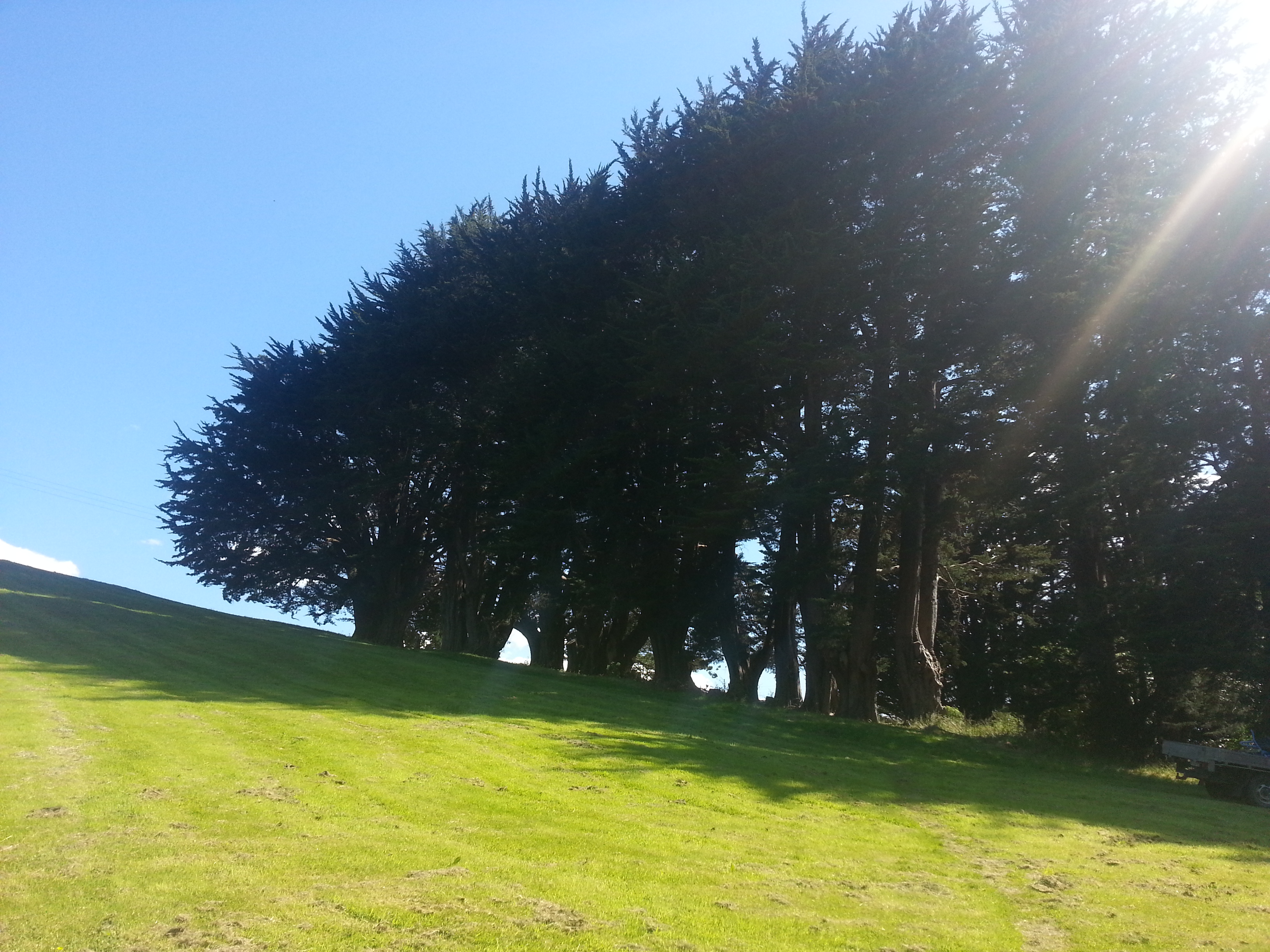
We entered the site through a forested tunnel, grateful to be out of the sun. Not far down the path is the site of the “rat house”, a temporary home for one of the Rankins’ neighbours who was fleeing an infestation of rats at her own home. I couldn’t see much evidence of the building, until Paul pointed out I was standing on the fireplace. Whoops.
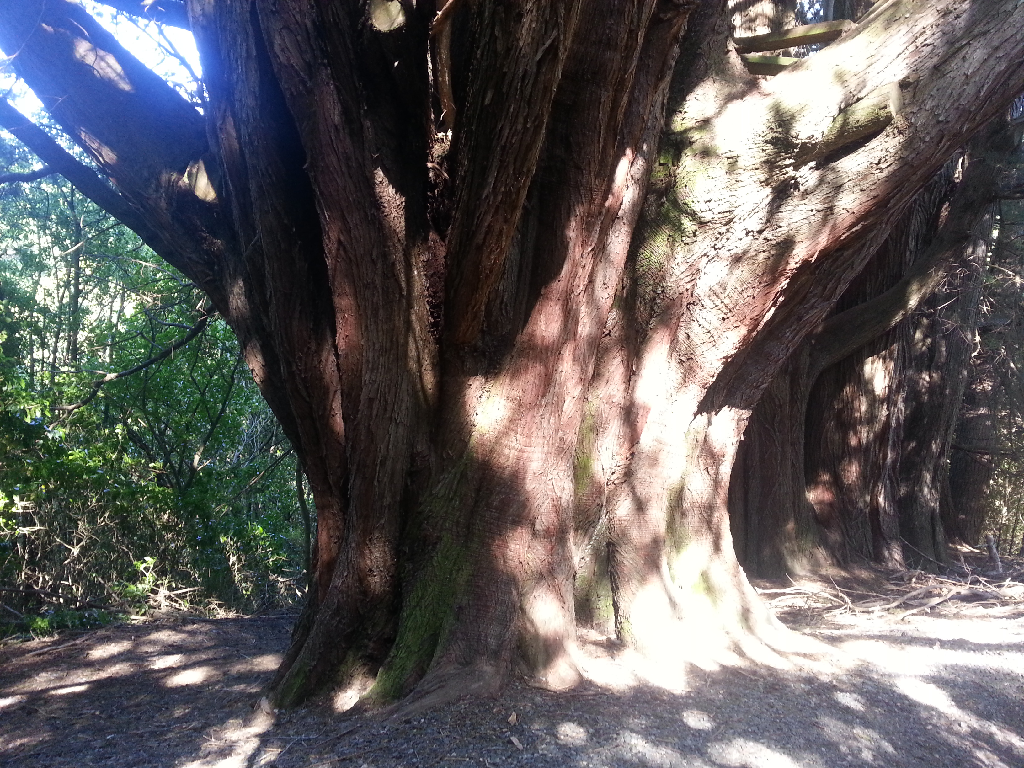
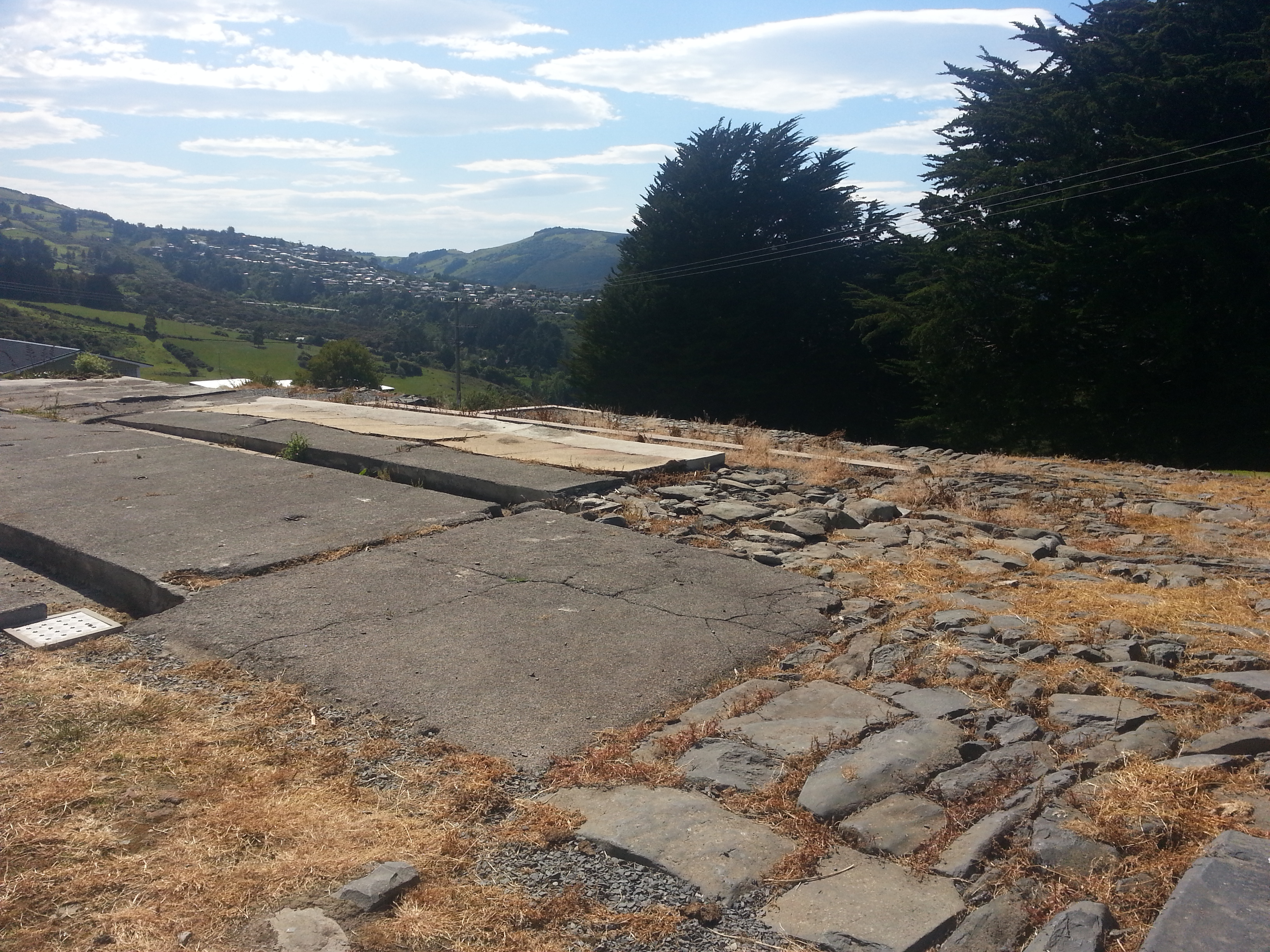
We continued along the trail, where evidence of the old road can be identified if you look closely enough. Soon we came across some stone floor tiles, next to the most magnificent macrocarpa I’ve ever seen.
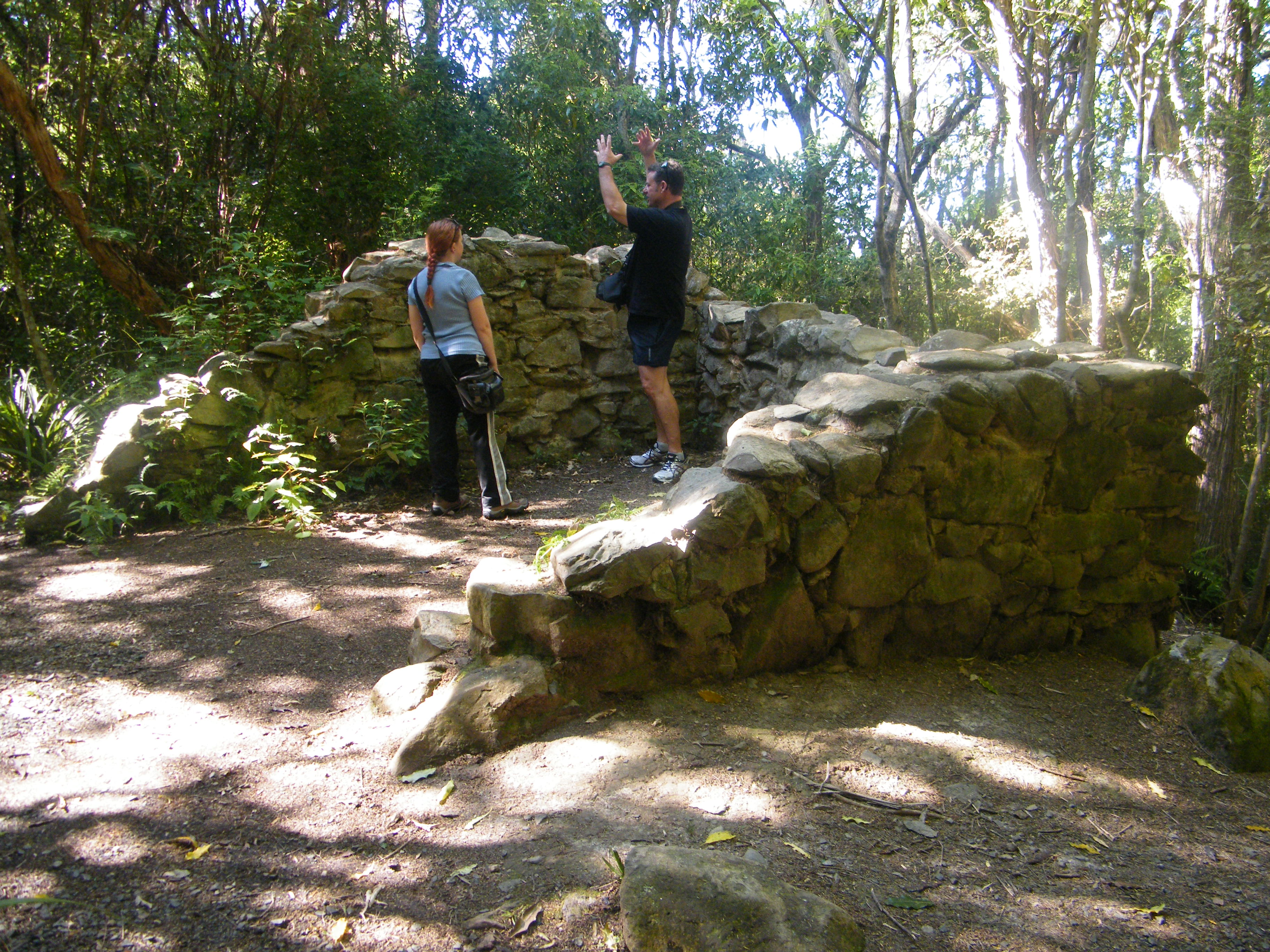
Moving on from the great hulking macrocarpa, we encountered the Little Ruin. This stone structure was used as a storage shed during the early occupation of the site. It has been carefully preserved by the Dunedin Amenities society, which removed several trees that had grown into the structure, requiring careful deconstruction and reconstruction. Finally local clay was used to bind the stones together.
An interesting feature of the ruin is some scrape marks on one corner, perhaps indicating that a knife or axe was sharpened there.
From here we headed down a steep track into the rimu zone. This is the legacy of Elizabeth Rankin and her second husband Edwin Tanner, whom she married some years after the death of William Rankin in 1872. Together they made the decision to put a stop to any logging on the property, despite the high potential value of the timber produced.
Thanks to this admirable decision 52 rimu trees have survived, the oldest of which is estimated to be 737 years old! Five others are in the 640-670 year age range and many more are over 300. Truly a priceless gift to the future of Dunedin.
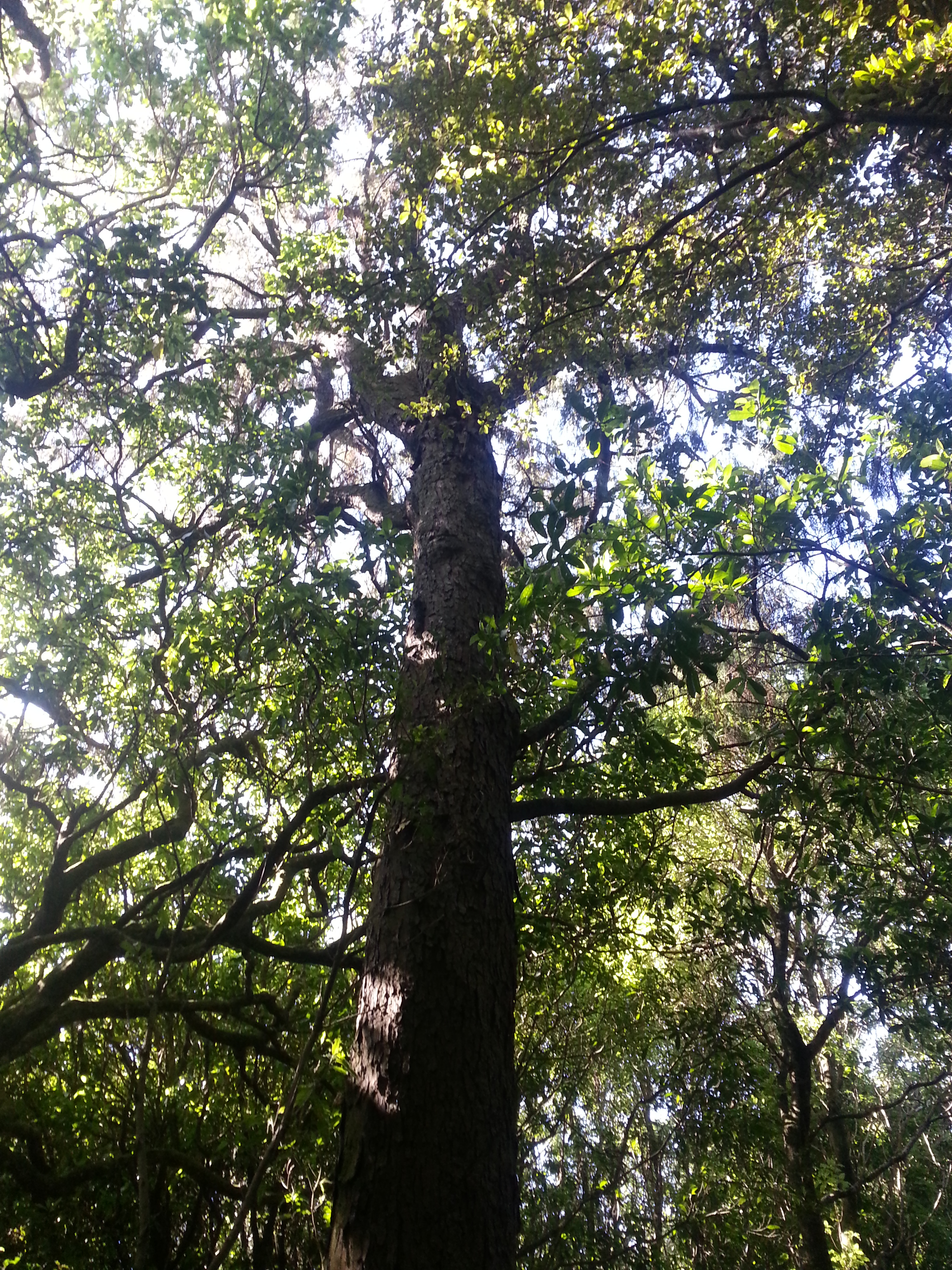
The track also took us near Ross Creek, a much-appreciated cooling influence as the temperature continued to rise. In addition to the stately rimu, there are many impressive ferns and other native plants in this part of the forest. In the branches of one tree we spotted a kereru (New Zealand wood pigeon).

We made our way back up the hill and through an area of regenerating forest, emerging into bright sunlight in an open grassy field. A row of equally impressive macrocarpa greeted us here, although these ones were remarkable for their height rather than their girth.
Behind the massive macrocarpas was the home of Elizabeth the younger, where she raised ten children in a two-bedroom house after being widowed in 1902. Still, despite this hardship, she never touched the valuable trees that her mother and stepfather had preserved.
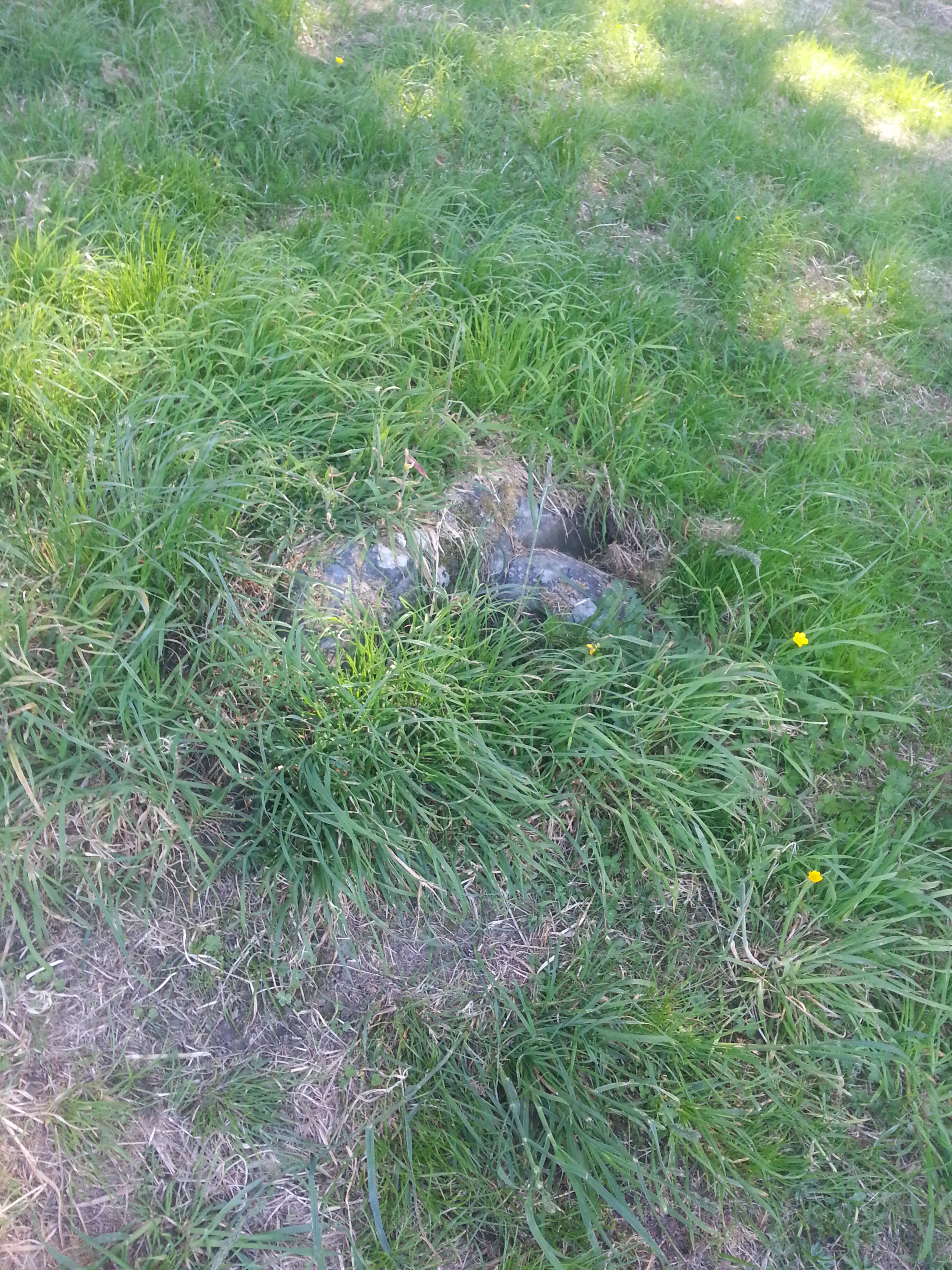
Half-buried in the field, there are still signs of her outhouse and chicken coop. At least I didn’t stand on them this time.
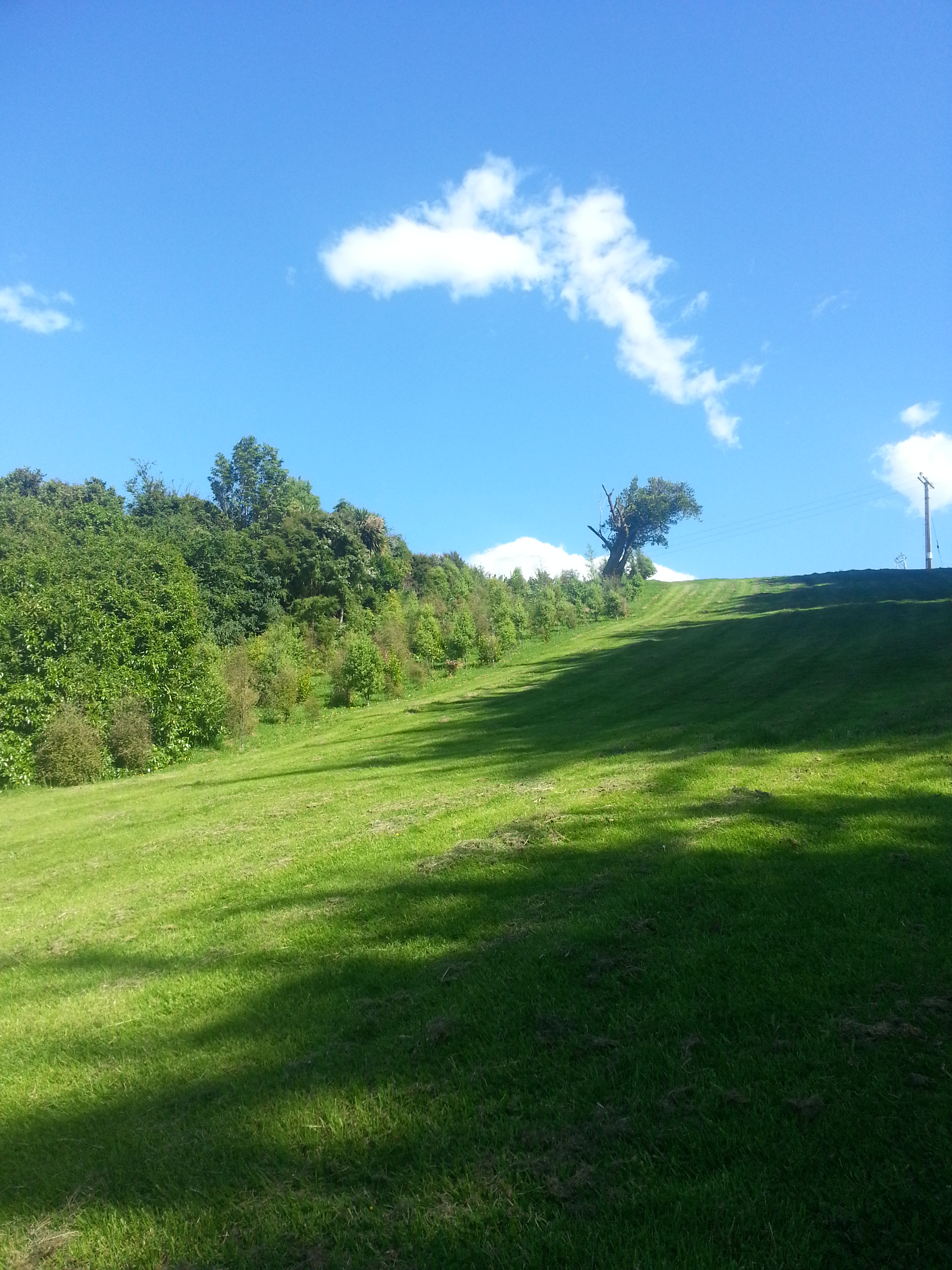
We headed up the grassy hill, admiring the young seedlings along the border, part of a reforestation effort in partnership with horticulture students at the Otago Polytech which has seen between 2500 and 3000 trees planted over a twenty year period.
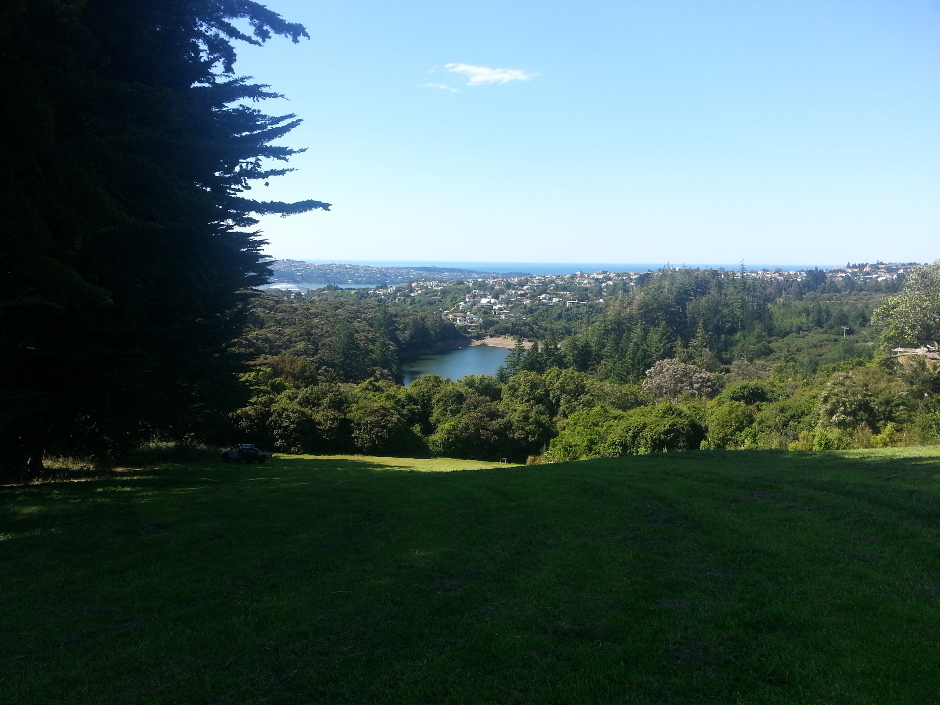
At the crest of the hill we turned to admire the view of Ross Creek reservoir and Dunedin beyond.
Next we turned to inspect the remains of the cattle byre, a large multi-level structure that has been excavated revealing several different flooring types and even the metal rings used to secure cows during milking. It would have been used for many purposes besides milking, including as a shed, as a stable, as a workshop, and perhaps even as somewhere to sleep for a few of Elizabeth’s many children.
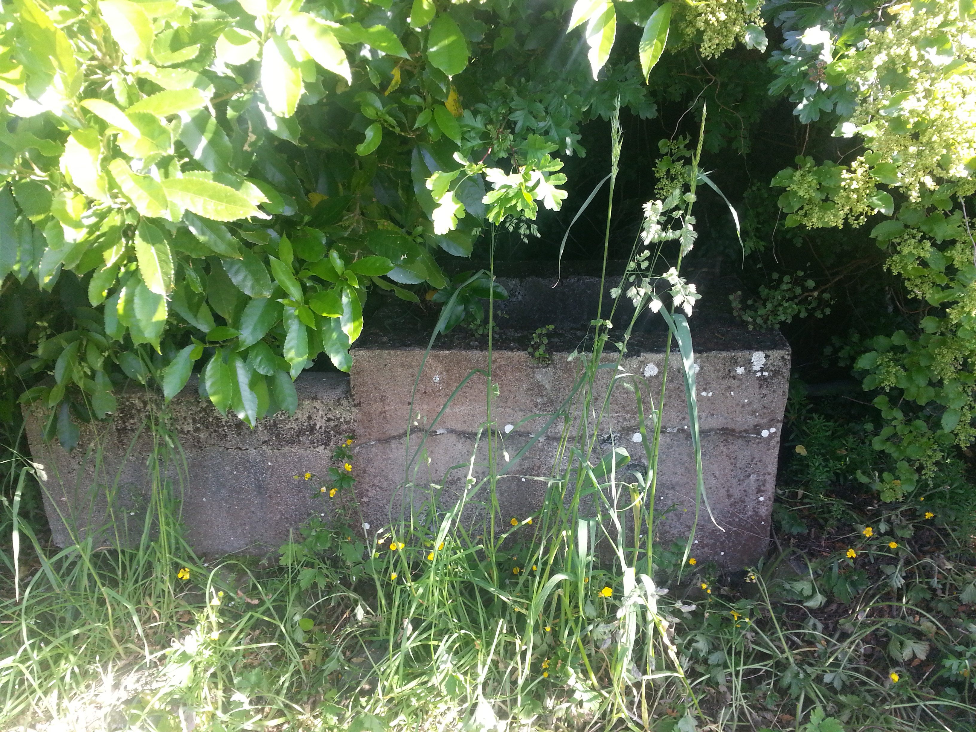
We were also shown an old water trough, hidden in the bushes nearby.
Beyond the byre and trough is an impressive stone wall backed by replanted forest. This too has been restored and preserved. It seems to have been built by many hands over some time, as it shows some variation in style and technique.

The track continues around the end of the wall and its huge end stone, into regenerating forest that was replanted up to twenty years ago.

A short trail through the verdant new growth brought us to a rest area named Tanner’s View. The regrowth obscures the view a bit for shorties like me, but I managed to get a nice panorama by standing on one of the seats.
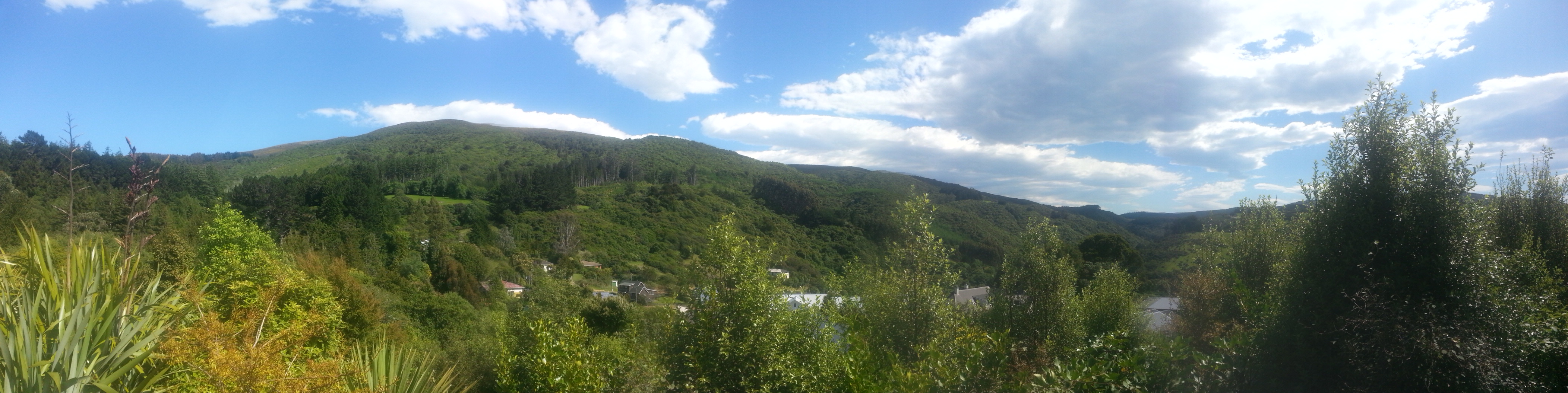
Remarkably, a photo has been found of Edwin Tanner (second husband of the first Elizabeth – are you keeping track?) in the same spot circa 1896-1900, so we know exactly what he would have seen a century ago.
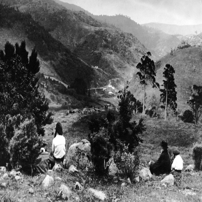
Edwin was very active in the community, serving as a councillor for Maori Hill Borough and starting a Sunday School which he was involved with for twenty years, only retiring in 1906 when his sight began to fail.
That was our last point on the tour, a nice place to stop and reflect for a while before heading home and out of the sun. Many thanks to Paul for showing us around this exciting piece of Dunedin history.
References:
How old are the Rimu at Craigieburn?, Dunedin Amenities Society website
Reforestation to wrap up, by Dan Hutchinson, Otago Daily Times 25 Aug 2013
PRESENTATION. Otago Daily Times , Issue 13666, 8 August 1906, Page 3
Good thing it wasn’t a functional outhouse when you were standing there.
John N
Amazingly prescient of them, when the main outdoor activity of the time was bush-clearing! A great story, and the family seems very real the way you talk about them. Ten children in two rooms though. Wow.
Can you mark on your plan view where all the Craigieburn sites are. I found some artefacts just below the Rankin paddock border above the DCC dam when I possomed there long ago. A nice cast iron art nouveau wall clock and pewter female bust.
Hi Peter! Those finds sound really interesting – the Dunedin Amenities Society look after the site and can tell you more about where everything used to be. They’d probably be really interested to hear from you.
See their website: https://dunedin-amenities-society.org.nz/
Tireless Taskforce Green workers tidied up this Craigieburn area I believe.
Funny the Rankins came out on the Robert Henderson in 1860, like my relative Ralph Ewing.
A most informative page here… well done.