This one’s a big one! Ever since running across some ruins while scaling Harbour Cone back in August, I’ve been looking into the history of the area, and discovered that there are many exciting signs of Otago Peninsula’s early settlers scattered over the reserve. Unfortunately, lambing season started soon after, so I had to wait over two months before I could visit again.
We parked up at the end of Bacon St and proceeded up the track, this time keeping straight on the path instead of detouring through farmland. This track which charges straight up to Highcliff Rd is itself an early bridle track running up from Turnbulls Bay.
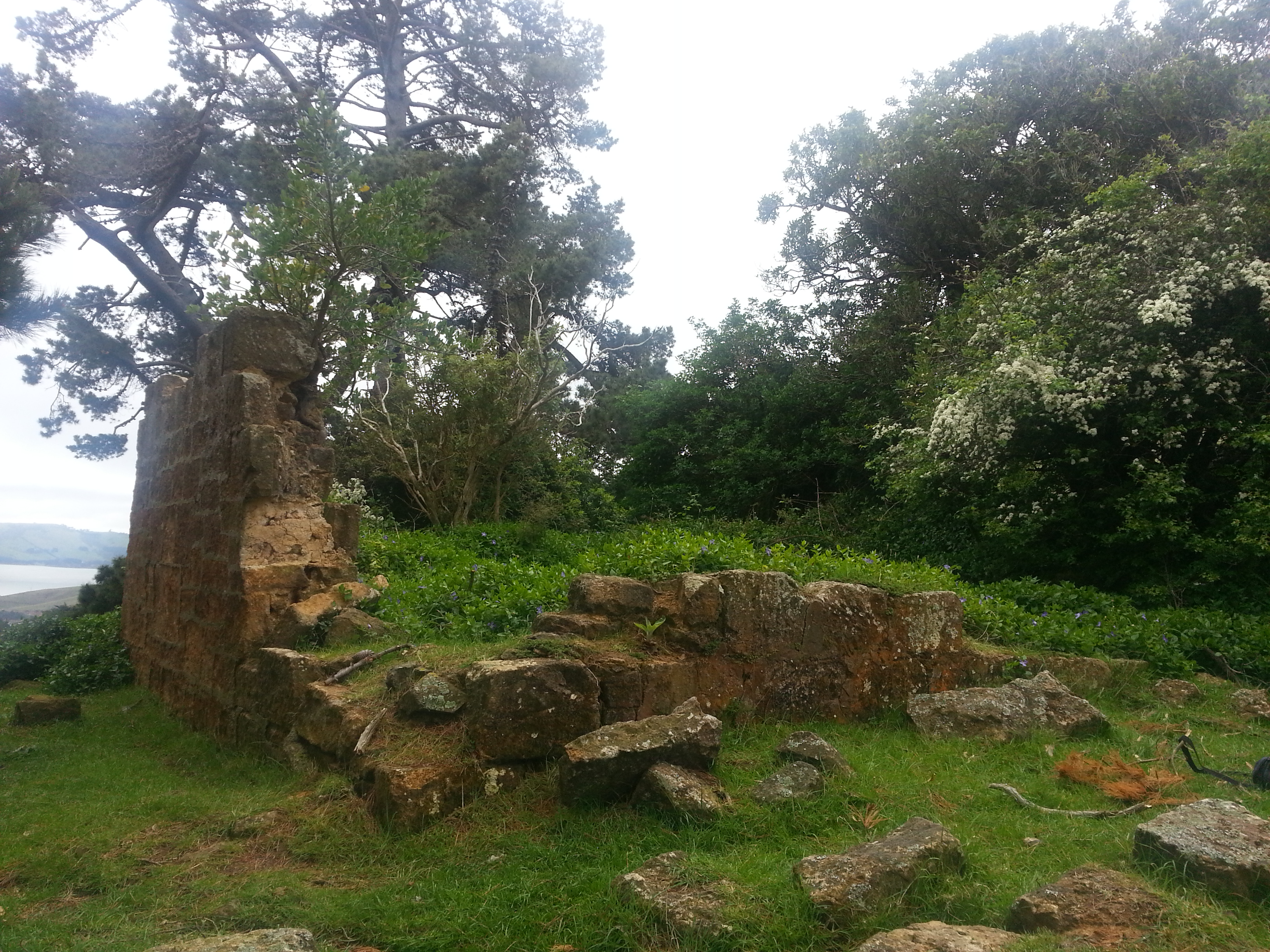
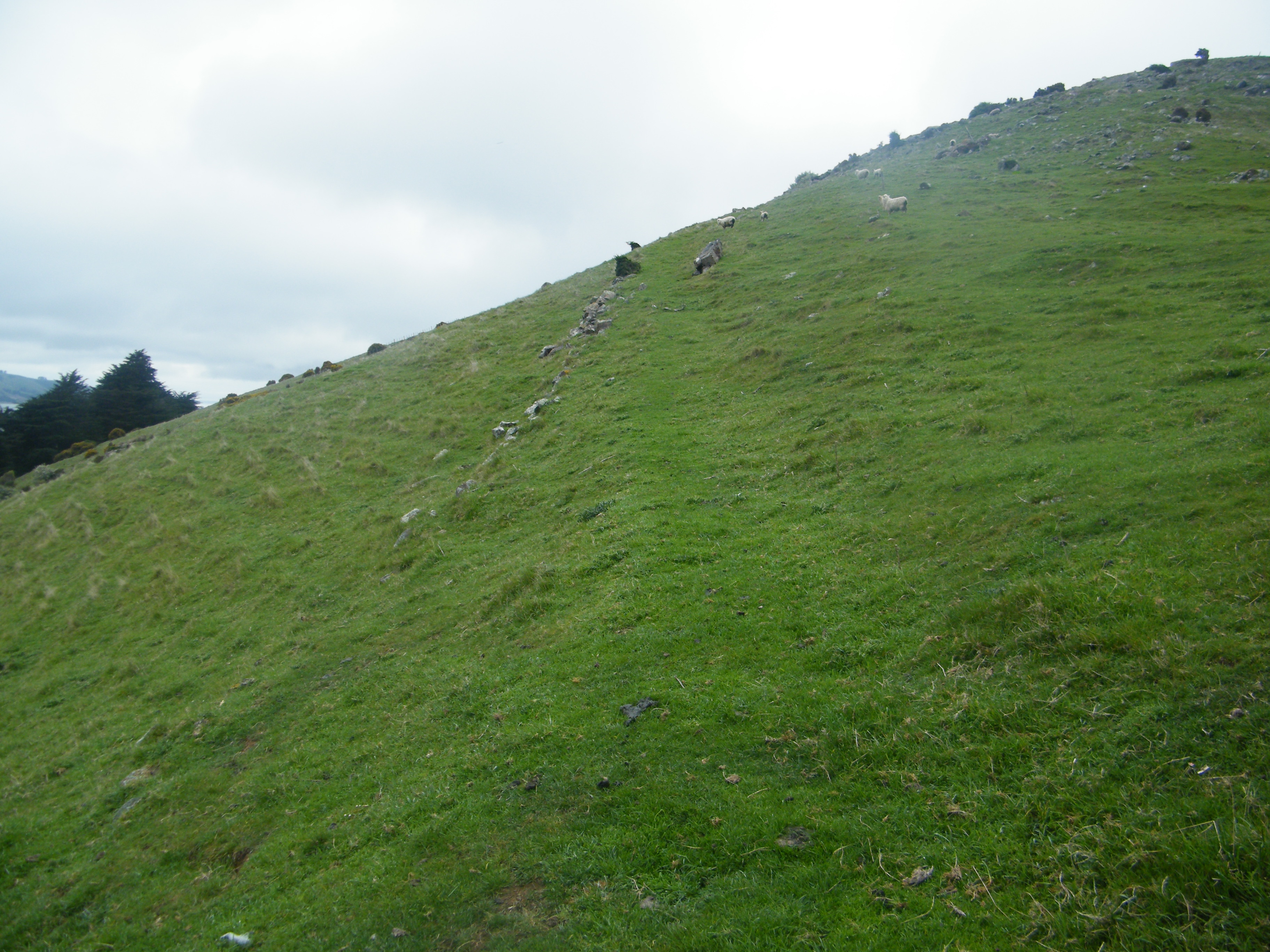
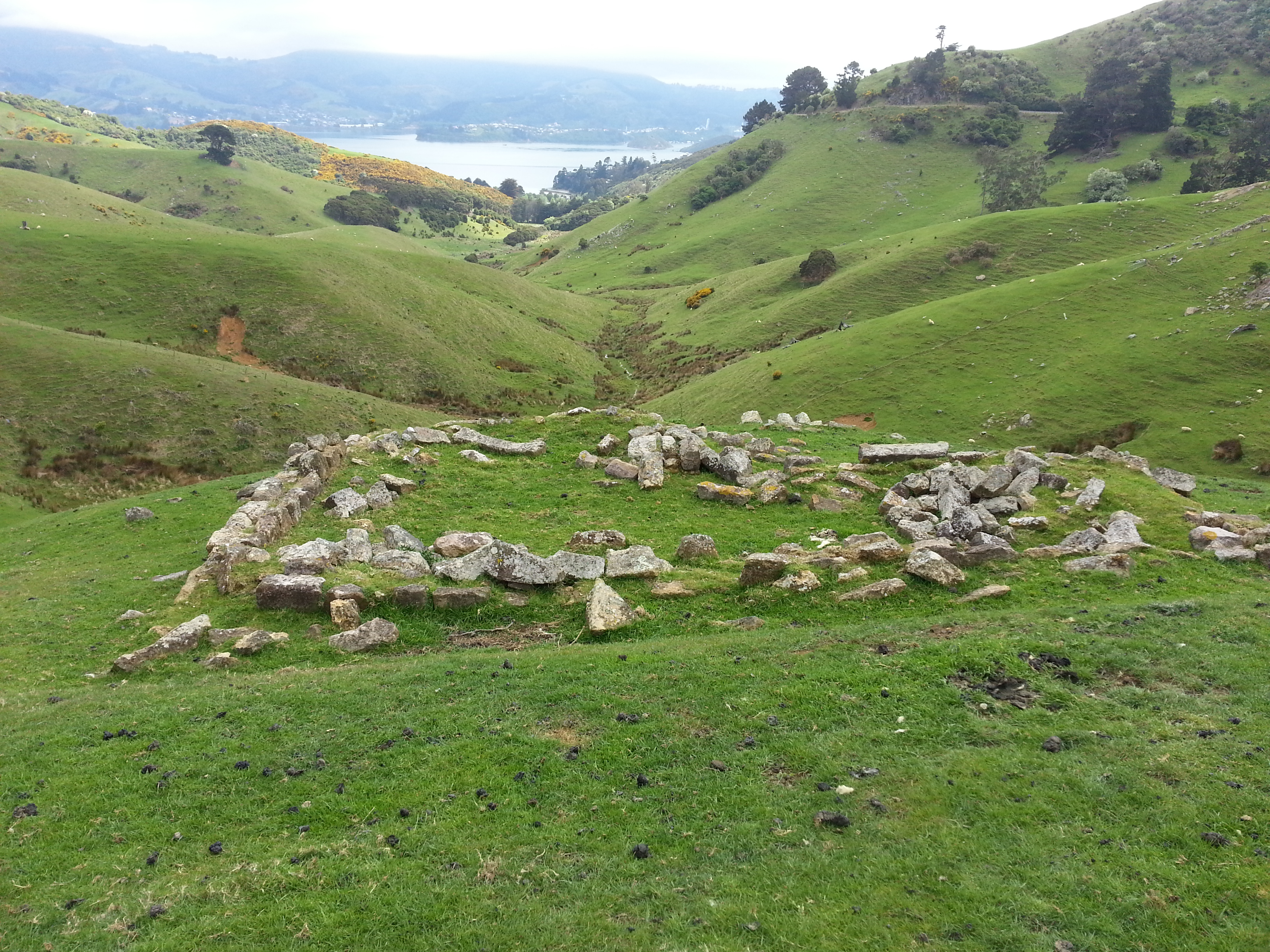
Once we reached Highcliff Rd, we crossed over and climbed the bank on the other side. From the stile, we could see the ruin which had first inspired us silhouetted against the cloudy sky.
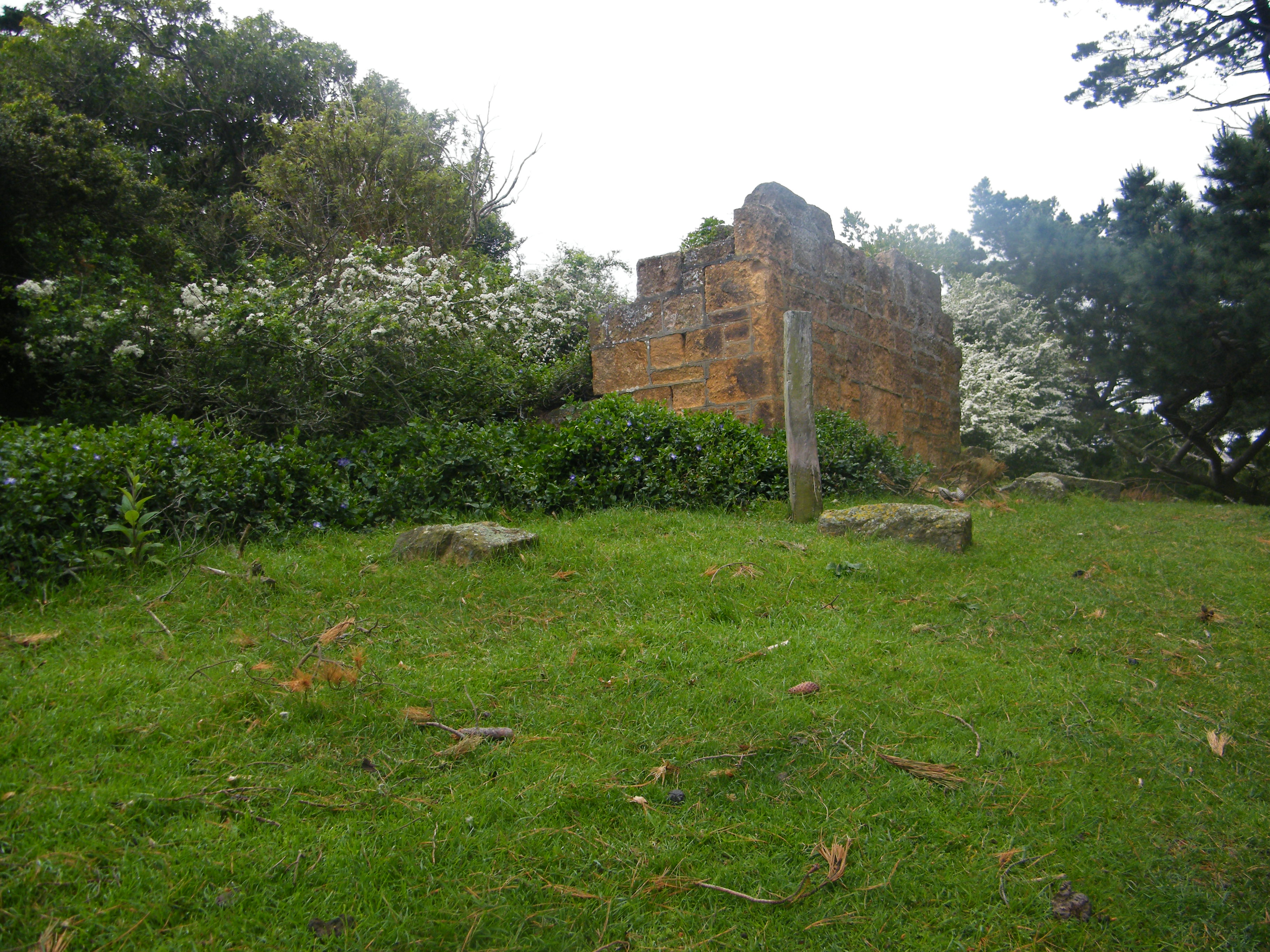
This structure, built of poor quality local stone, was part of the home and forge of a local blacksmith. On Friday 14 October 1881 fire broke out on the property around Larnach Castle and was fanned by hot dry winds, destroying the blacksmith shop and many other valuable pieces of property in the area.
From here we continued up the slope and located the remains of an old road that cut around the slope of Harbour Cone and towards the summit.
The original use of this land by the early settlers was dairy farming, but it was so steep and shadowed from the sun that it was ill-suited for the job. Combine the environmental limitations with the small area of the allotments and the settlers had their work cut out to even make a subsistence living.
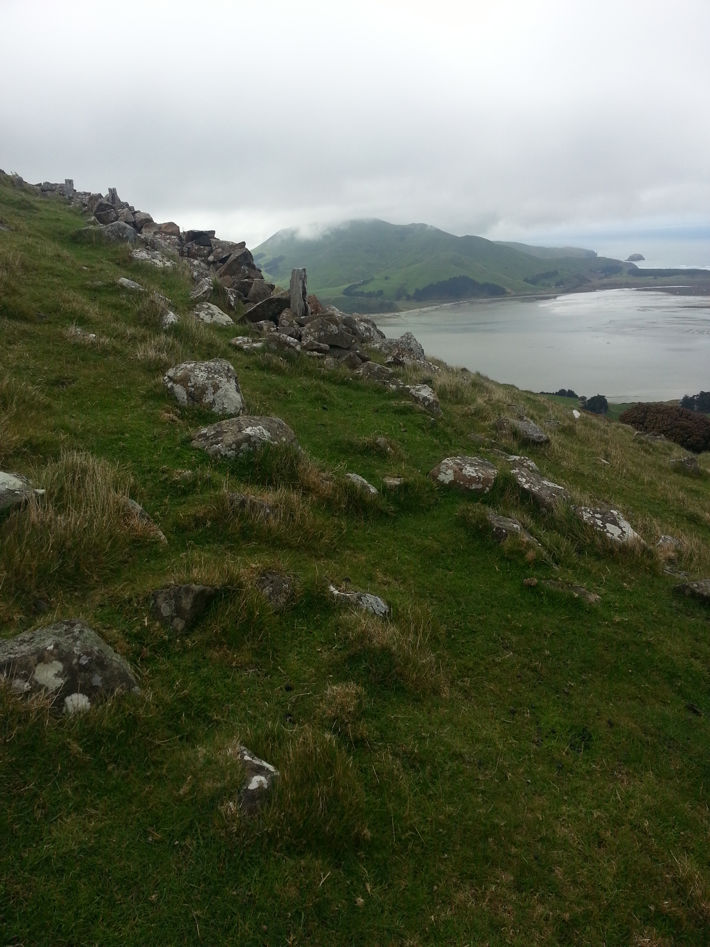
When the road petered out, we struck off directly up to the summit. Very near the summit is the remains of an old stone fence, with wooden fenceposts also visible. This fence would have marked the boundary of the Allan and Leslie properties.
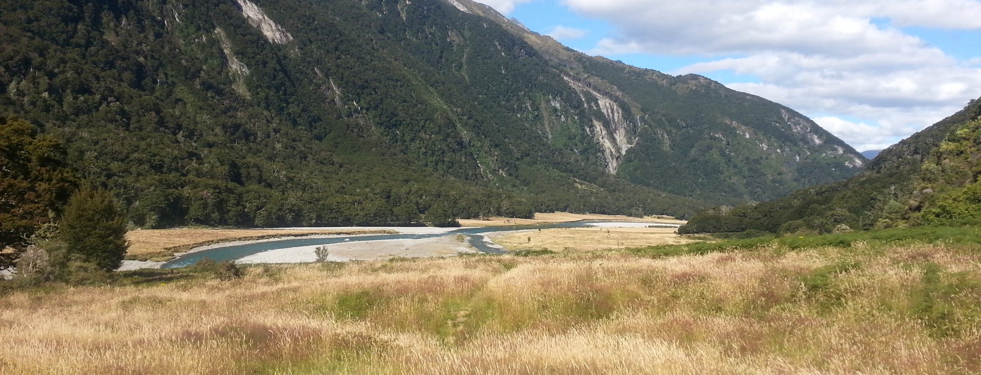
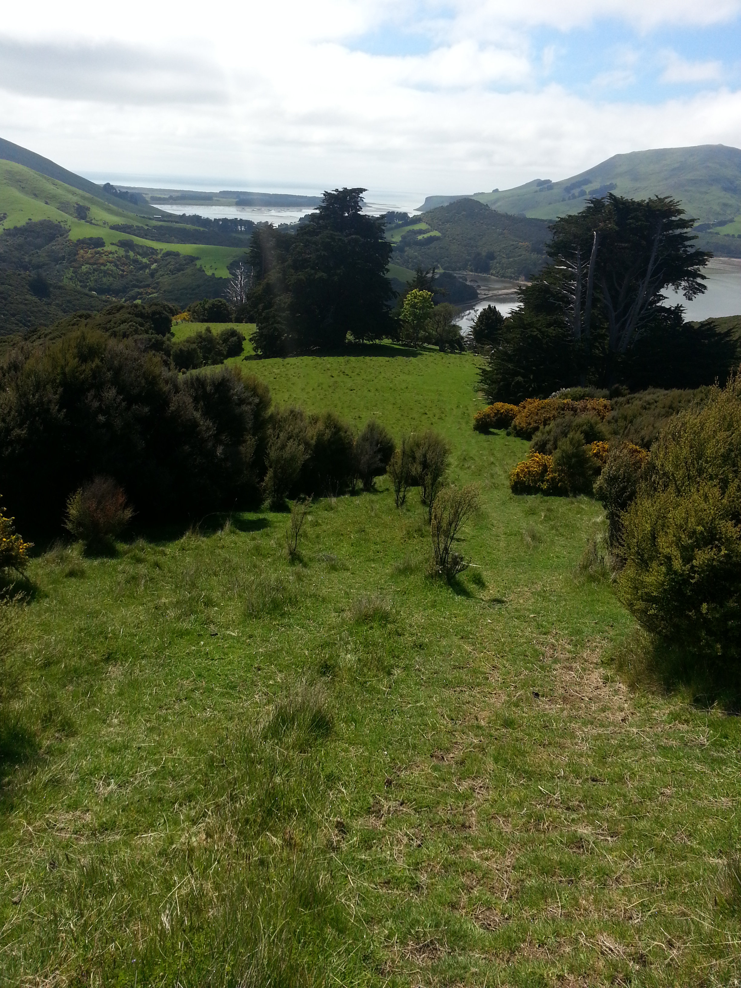
Thoroughly pooped, we rested a while. Looking towards Sandymount from the summit, a whole host of interesting features can be seen, and I passed the time trying to puzzle them out. You can see my guesses marked on the image below:
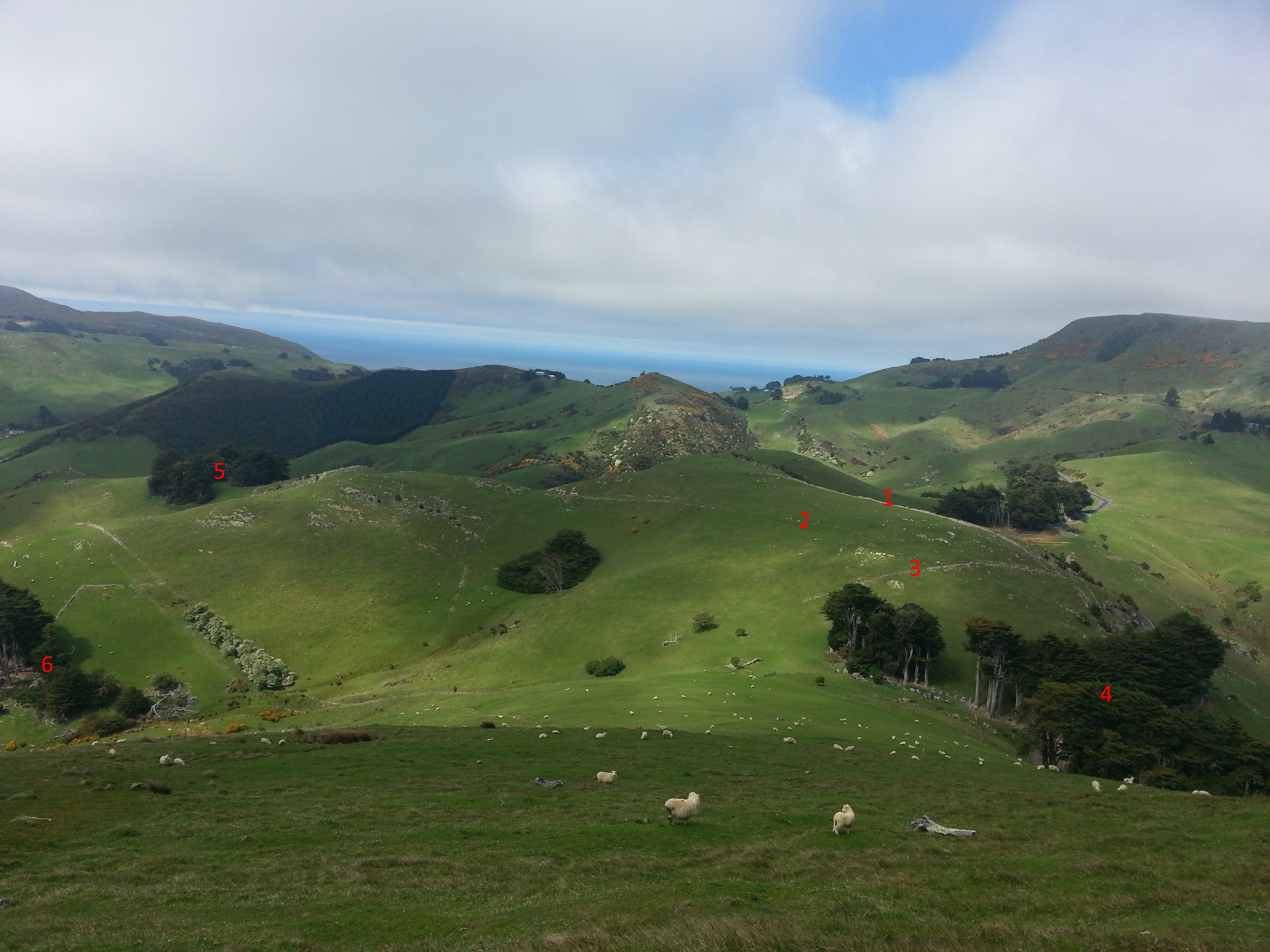
- A stone-lined road which appears to be a continuation of the bridle track from Bacon St.
- Another road, this one leading to the Rutherford Farmstead.
- Old road to the abandoned gold mine at Battery Creek.
- The Nyhon farmstead.
- The Rutherford farmstead.
- The Forbes farm.
Unfortunately we did not have the stamina to visit any of these sites for ourselves today – perhaps a part two will be in order once our tired feet have healed?
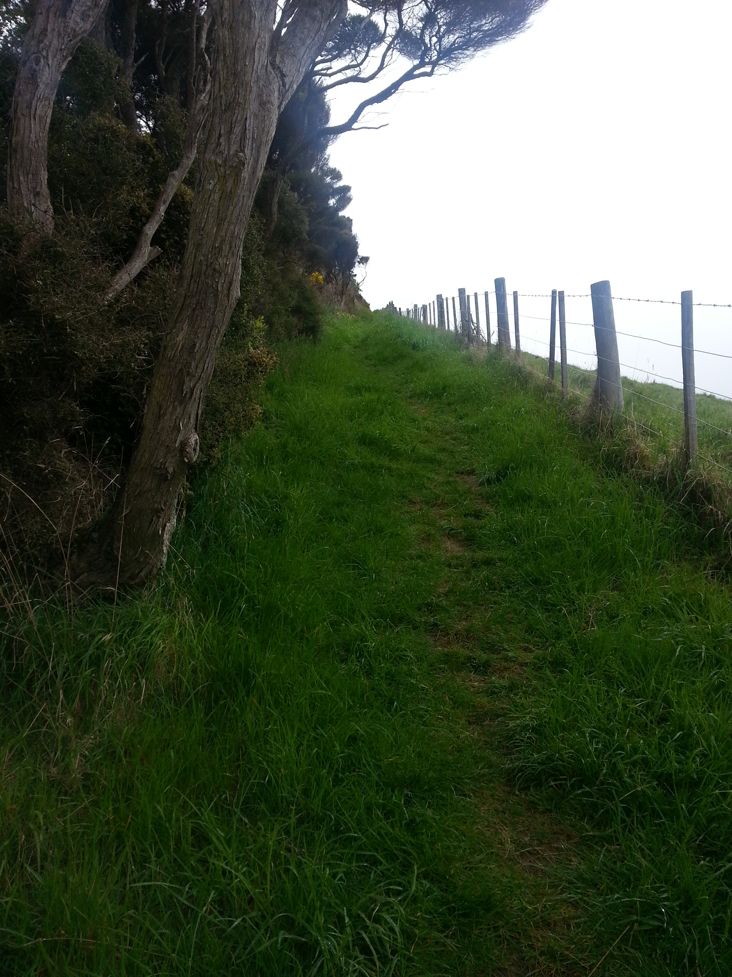
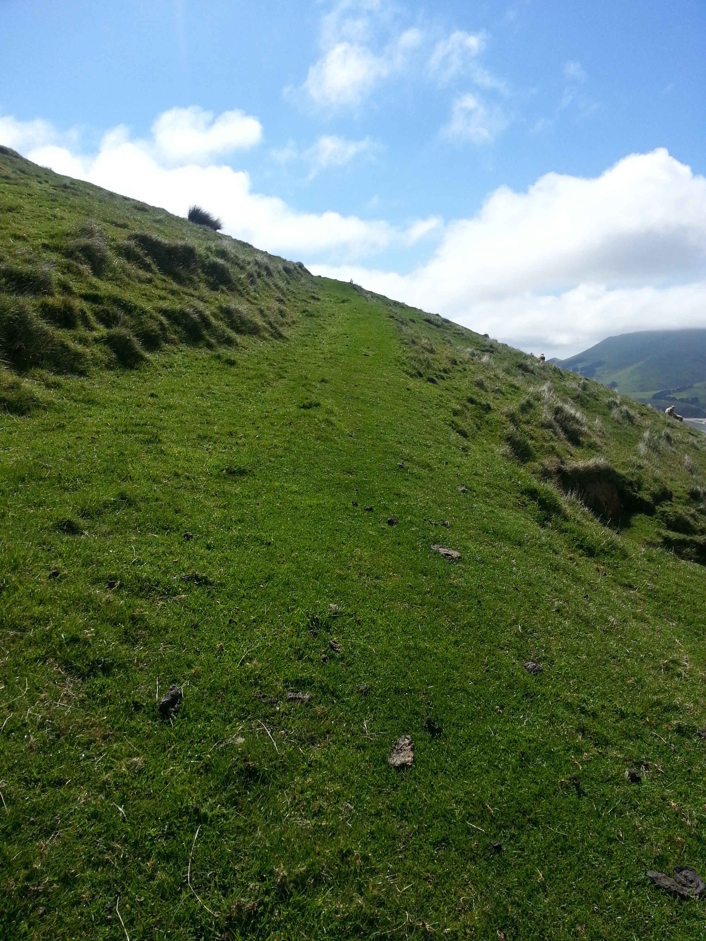
Grateful to avoid more climbing for the time being, we ambled down the slope in this direction until we reached another path cut into the side of the hill. This is the old bridle path that was built to connect the first William Leslie’s homestead situated below Highcliff Rd with the later homestead of his son of the same name, who built on the other side of Harbour Cone.
We followed along the path the younger Leslie would have taken every day after the opening of the Sandymount Creamery in 1892, sledging the milk from his twelve or so cows over the hill for processing. Prior to that, butter had to be made on site by hand, and was an arduous process.
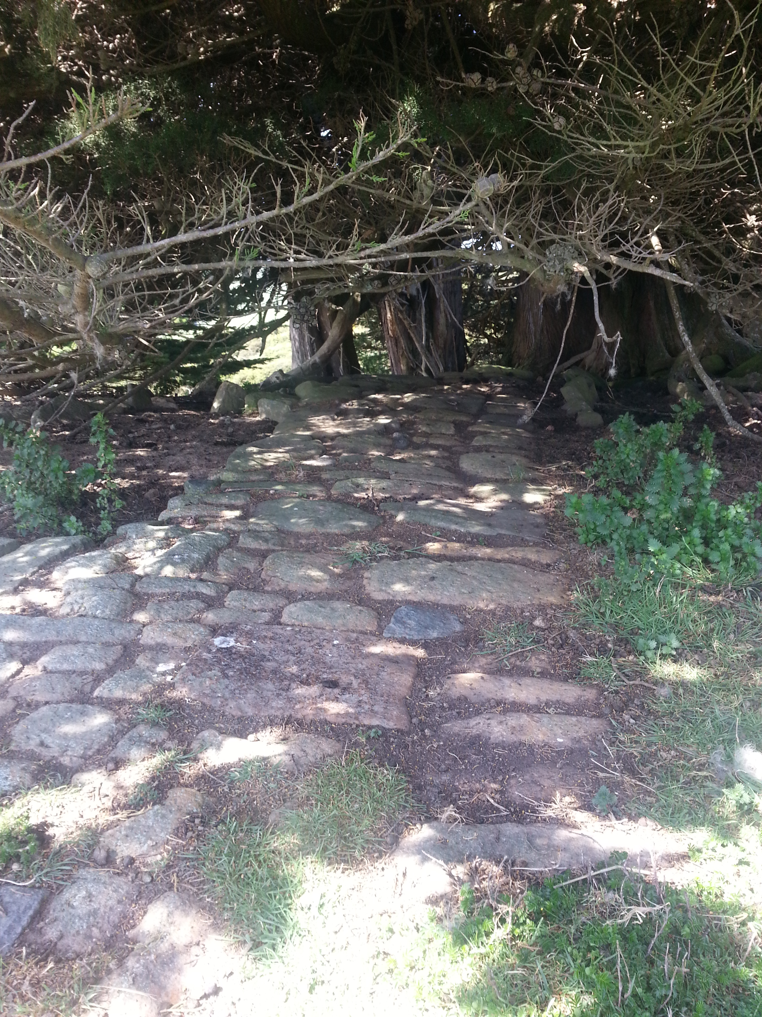
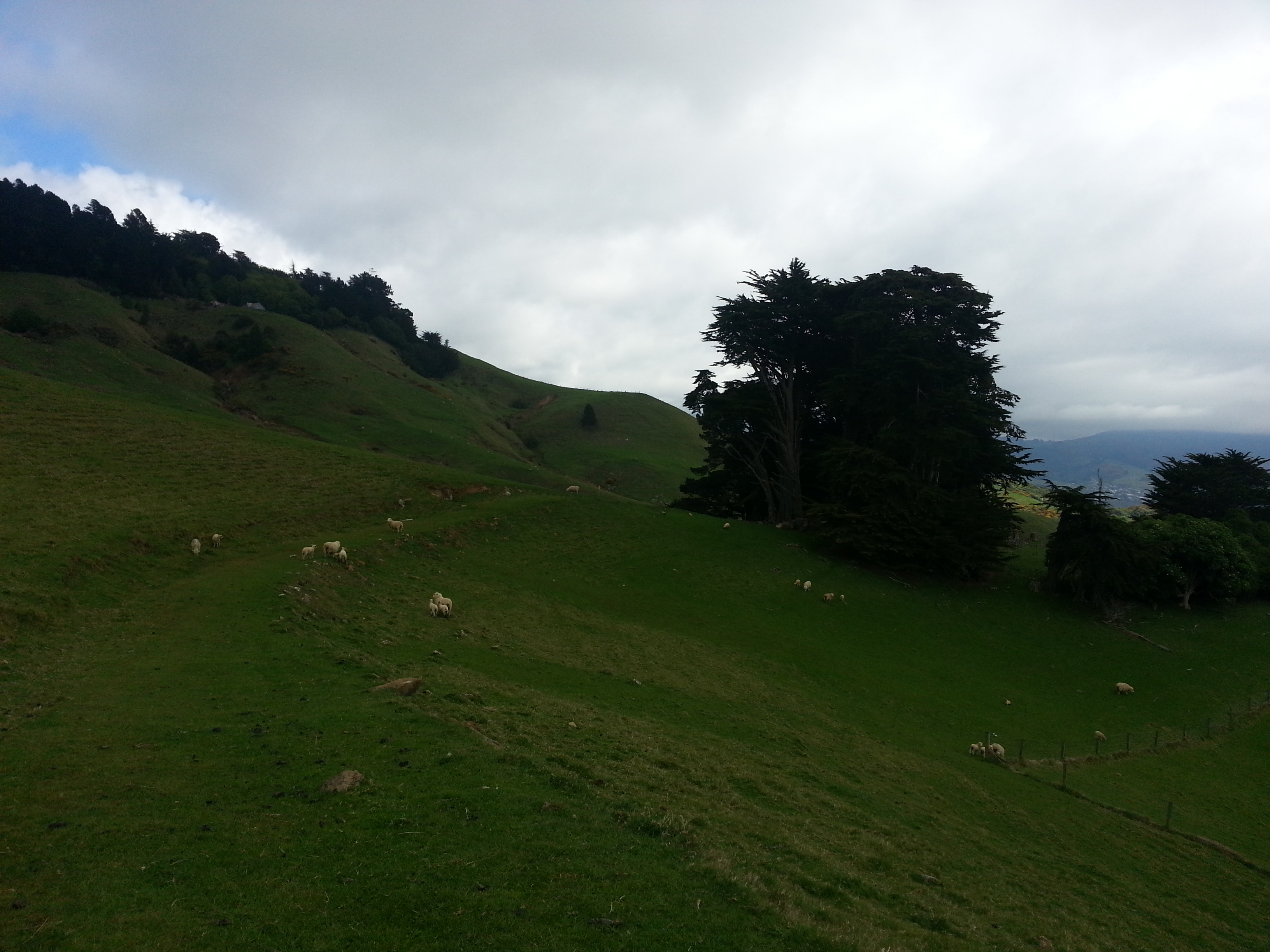
At the far side of the cone, we lost the path somewhat, but used another old fence as a landmark indicating we should head downhill. The sun came out at the moment we reached a pleasant grove of trees, highlighting the view of Hoopers Inlet and aptly demonstrating why the younger Leslie might have chosen to build here.
Poking around, we found the old floor tiles under a big macrocarpa.
Looking back up the hill, we could see the end of the path we had lost, marked by a lone fencepost. Hmm, now how did we miss that? We decided to return by that route, which took us through a forested tunnel, complete with two tiny chirping silvereyes.
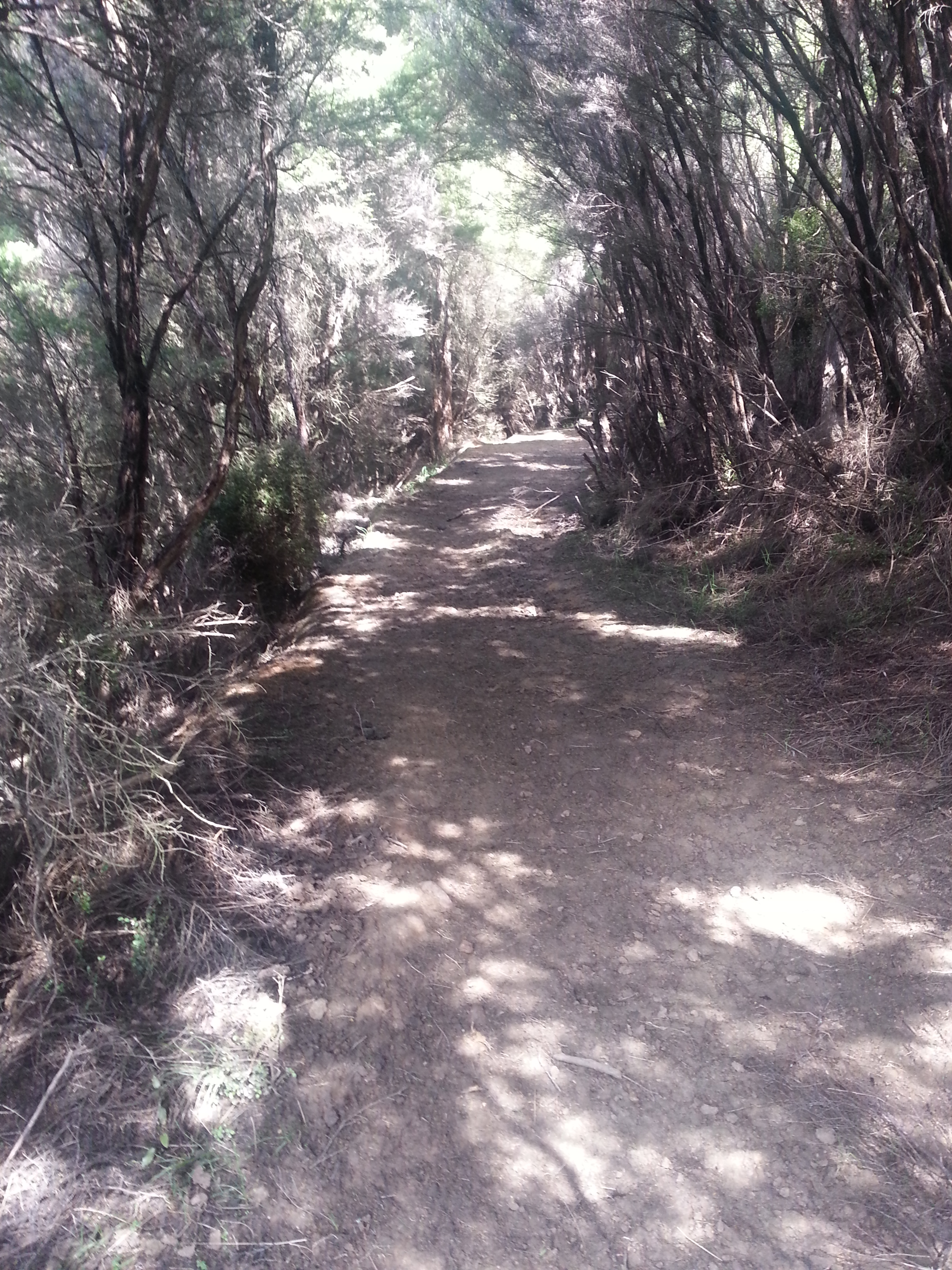
We left the trees and all became clear. A slip had erased this section of the path, and we were forced to scramble around the side back on to solid ground.
We found the old track again and plodded back the way we’d come, determined to find the other end and the first Leslie homestead. Our quest took us back across Highcliff Rd, to a stand of macrocarpa trees on the downhill side. I poked around, unsure if I had the right place, and found only a few piles of stone.
If this is the place, then this is where travellers on their way past Harbour Cone in the 1880s could stop to refresh themselves on Captain Leslie’s famous dandelion coffee, a beverage made from dried and roasted dandelion root and sold by some of the settlers.
Near this site, a cheese factory also stood, a cooperative venture by several of the farmers in the district. Some familiar names stand out amongst the eleven shareholders – William Leslie senior and junior (who we have both now visited), James Rutherford and Robert Forbes (whose land we looked down on from on high), William Allen (our first stop), and William Hunter (who we will get to very soon!). The wooden building was built in 1877 and operated for only four years before being razed in the disastrous fire of 1881.
I can’t help but feel for these guys. First they’re given a crummy patch of land, then when they try to improve their lot by starting a business, it all goes up in smoke. Literally.
The factory was never restarted.
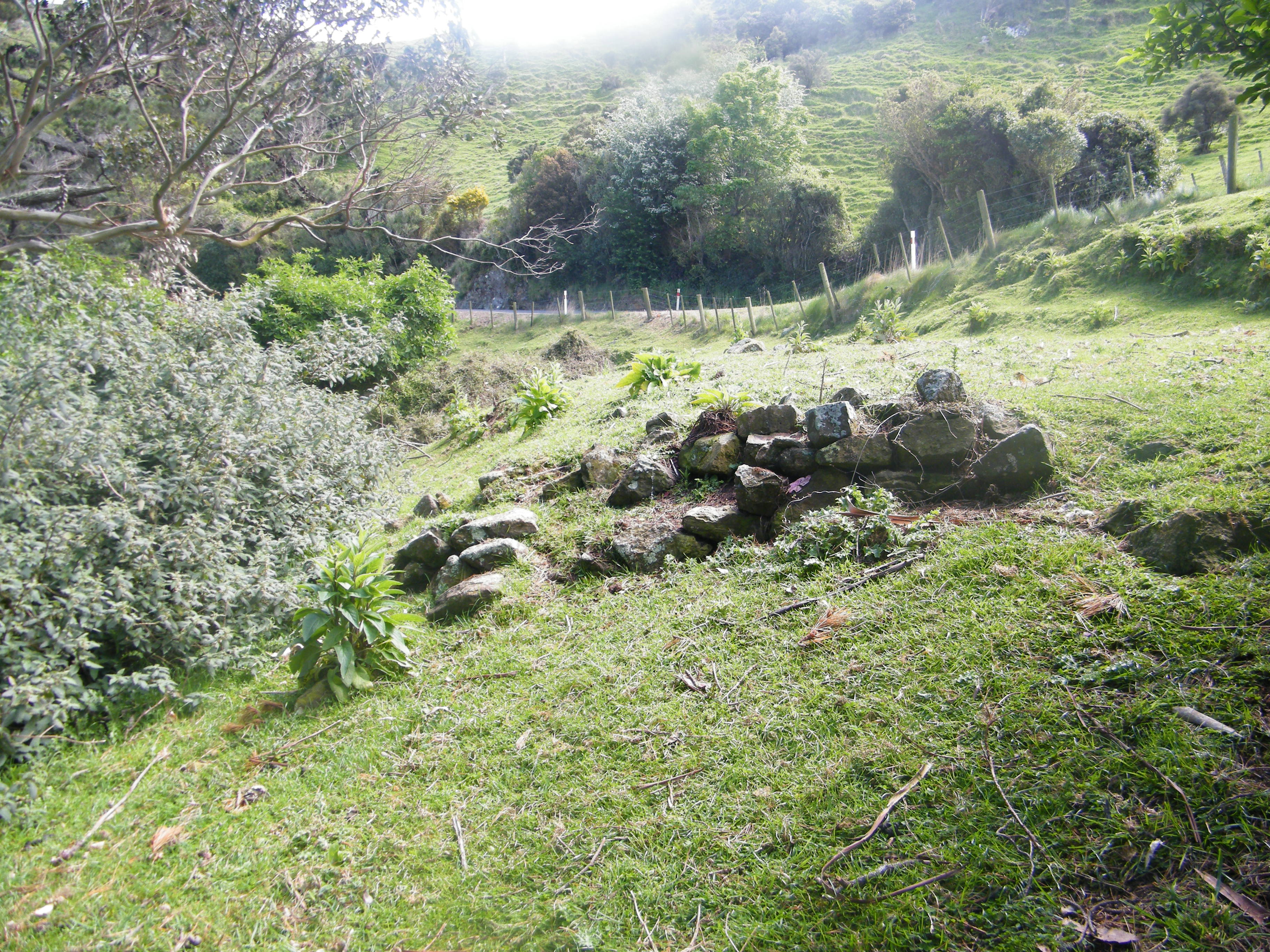
Our imaginary Harbour Cone cheddar and dandelion coffee under our belts, we returned to Highcliff Rd and headed south. On a ridge below the road we spotted what appeared to be a pile of rocks. Debating whether it could be natural or man-made, we investigated.
This seems to be what is marked as “Hunter’s House” on the 1901 map of the region and is elsewhere described as “built of local stone expertly worked by a skilled mason”. We can guess that this may have been the home of the same William Hunter who was involved in the ill-fated cheese company.
Following Highcliff Rd once more, we found the track back down towards Bacon St. It actually follows an old track, clearly visible as a groove running across the paddock, into a stand of macrocarpa trees, which mark the site of the Arnott farmstead.
If you step into the trees on the right as you go downhill, you will see a variety of fencing, flagstones and debris along with the stone foundation of the home.

In 1900 the local midwife, Mrs Arnott, lived here. David Arnott was apparently a stonemason to William Larnach. The bush fire of 1881 also affected this property, destroying a stable, cattle byre, and fencing.
This was the last stop on our tour, as two hours criss-crossing the steep terrain had us exhausted and famished.
Later in the day we visited the New Zealand Archives in order to make sense of what we’d seen. In a lucky coincidence we ran into Jill Hamel, archaeologist and member of the Harbour Cone Trust. She kindly gave us some tips, meaning we now have several new places to visit on a future adventure! Thanks Jill!
![Photo of 1901 map showing the places we visited. Sheet No. 16 - Military Topographical Plan - Block II Otago Peninsula and Upper Harbour East District - 1901 [Archives reference: R23188981 DHGC 23774 D591 Box 654/b 16] Dunedin Regional Office, Archives New Zealand. Dpartment of Internal Affairs/Te Tari Taiwhenua](http://adventure.nunn.nz/wp-content/uploads/sites/2/2015/11/DSCF6767.jpg)
Accidents and Offences. Otago Witness, Volume 22, Issue 1563, 22 October 1881, Page 21
SANDYMOUNT. Otago Witness, Volume 22, Issue 1563, 22 October 1881, Page 13
DANDELION COFFEE. Daily Telegraph , Issue 3226, 1 November 1881, Page 4
RURAL RAMBLES. PENINSULA. Otago Witness , Issue 1618, 25 November 1882, Page 27
HARBOUR CONE CHEESE FACTORY, PENINSULA. Otago Daily Times , Issue 5301, 14 February 1879, Page 7
Otago Peninsula a Local History. Hardwicke Knight.
Harbour Cone: A Relic Landscape on the Otago Peninsula. Angela Middleton.
Sheet No. 16 – Military Topographical Plan – Block II Otago Peninsula and Upper Harbour East District – 1901 [Archives reference: R23188981 DAHG 23774 D591 Box 654/b 16] Dunedin Regional Office, Archives New Zealand. Department of Internal Affairs/Te Tari Taiwhenua
Another fascinating journey. Having lived the first twenty years of my life in Broad Bay, Harbour Cone was a beacon and background for all our activities. It was always in view! Even now over sixty years later when I see its perfect cone shape I can’t help but feel homesick. I must admit I have only once ever been to the summit. As a pupil of Broad Bay School our headmaster once took our class on an excursion from Bacon Street, known to us then as The Glen, up to the High Road. We climbed over the fence, sat under the macrocarpa trees and he took an art lesson. We sketched the Harbour. I have a photo of us busy sketching with our teacher, resplendent in a suit and shiny shoes supervising. This would have been in 1956. We never made the summit that day but I did a few years later when out rabbiting with my brother in law. It was so foggy I never saw the view!