Today we opted to explore a different area of the Peninsula – the Paradise Track, which meanders down from Highcliff Rd towards my favourite place in Dunedin, Boulder Beach.
 The track is actually an old road which replaced the original Beattie’s Road (James Beattie having settled at Boulder Beach in 1863). Some time between 1863 and 1882 this road replaced it and took the name Paradise Road. The road is long disused by any kind of vehicle, but it is still a public access way and therefore provides a public route to the beach.
The first thing that caught our eye at the top of the track was a derelict building in a nearby field.
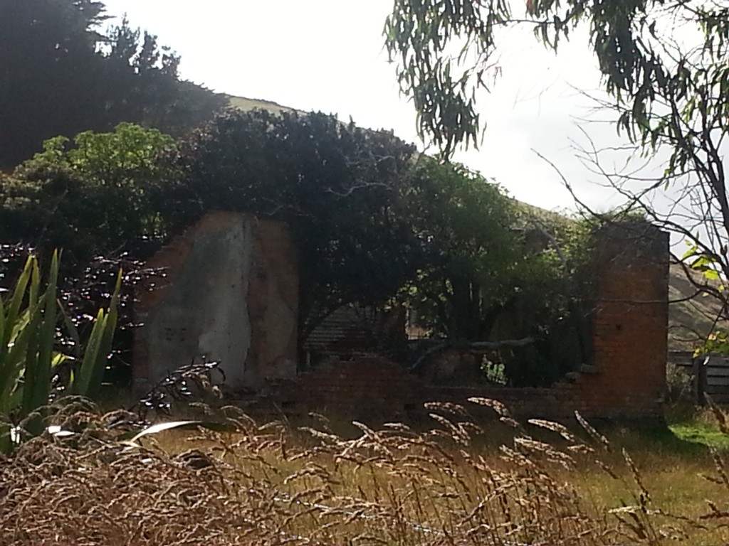
Local lore has this old building pegged as a hotel, and there was indeed a Highcliff Hotel (sometimes also known as Donaldson’s) which can be traced at the least to somewhere very nearby.
The first trace of the hotel I can find is from 1872, when a man named Robert Coneys applied for a licence, which was granted but withheld until “the house is completed”. If this was indeed the beginning of the hotel, then it was short-lived, as in January 1873 a fire completely destroyed the uninsured eight-roomed wooden building and all the stock belonging to the business. At the time, Mr Henry Fairbank was the owner of the land, and Robert Coneys leased the business.
By August that year Henry was advertising the grand reopening of the business. However not all was rosy and in 1875 he was forced to find a respectable tenant to lease the business, as the police had objected to issuing a publican’s licence to him directly, due to his wife’s “intemperate habits”.
It seems the licence changed hands several more times before ending up in the hands of William Donaldson by 1889. Donaldson struggled to keep hold of his licences and was unable to pay his debts. Perhaps this is the reason that mentions of the hotel cease after 1891. On the 1901 map of the area, the site is marked as a shoeing forge.
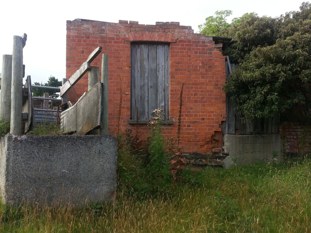
I was initially sceptical about the idea of this being a hotel, as it appeared to have some kind of stock run adjoined. But perhaps this is a legacy of the many stock auctions that were held at the Highcliff Hotel over the years, or maybe they were added later when it became a forge?
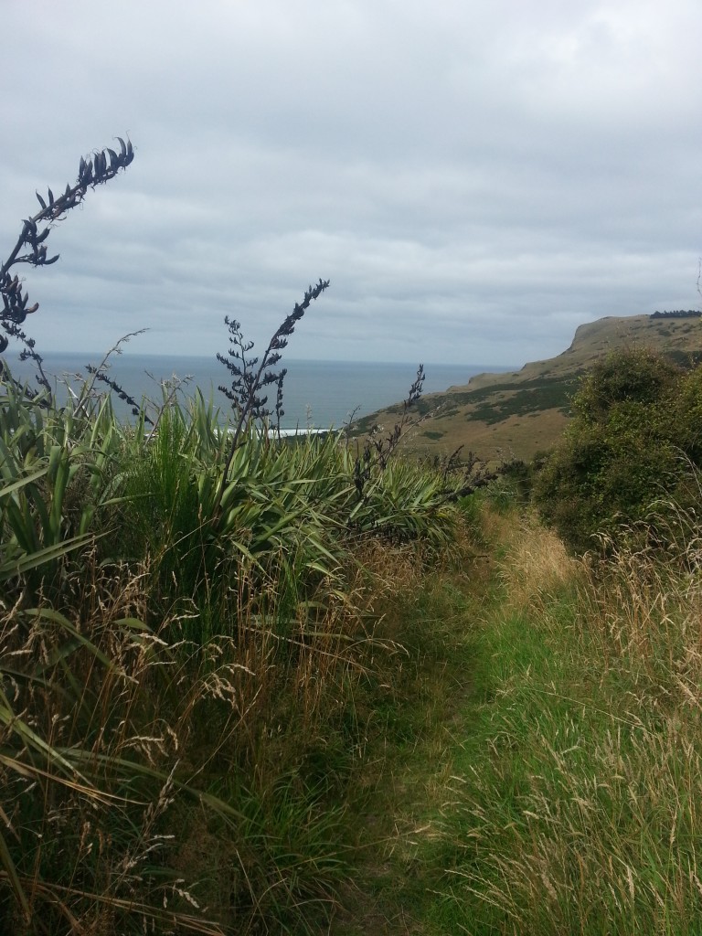
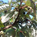
Shelving that mystery for now, we headed on down the Paradise Track. The start of it was lined with fruiting kotukutuku, which would have been great to know last week when I was collecting the berries!
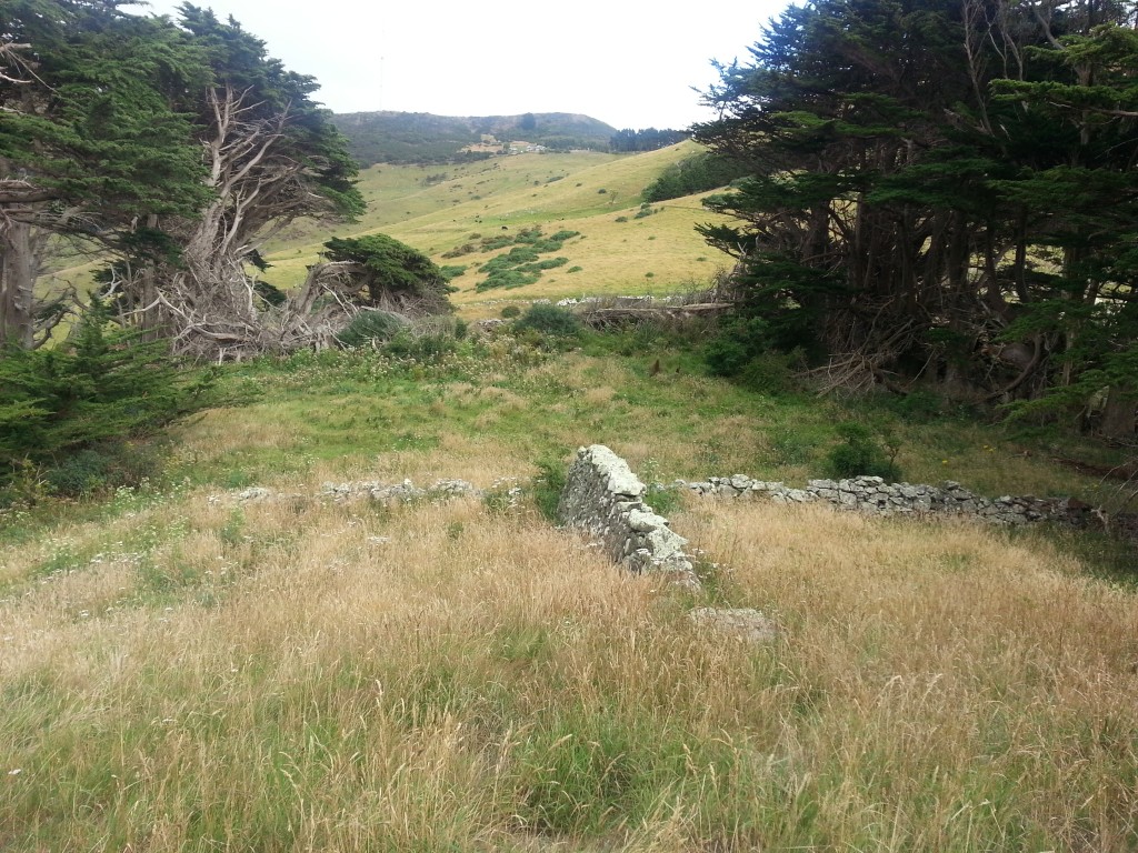
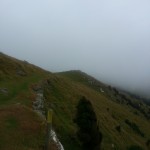
I’m now growing pretty familiar with the signs that mark the site of early settler homesteads, so when I saw this in the distance, you can bet it piqued my interest.
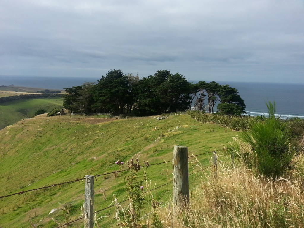
The invaluable 1901 map has this marked as the site of the Saunderson farm, and it was no easy task to track down this family. I was afraid I’d have to admit defeat, but after much searching I finally found the one clue that brought everything together.
It all started in 1849, when newly-wed Scottish couple William and Helen Sanderson arrived in Dunedin aboard the Cornwall. They were some of the first settlers of Tomahawk valley, producing six daughters and three sons.
William Sanderson was involved in the committee of the Otago Peninsula Agricultural and Pastoral Sociey along with Alexander Mathieson, which might have greased the way for his son John Alexander Sanderson to marry Alexander’s daughter Janet (also known as Jessie) in 1880.
It was John Alexander and Janet Sanderson who settled here sometime between 1884 and 1894, calling it Grangelea. They would have seven children, although their first daughter, Sarah Kiltie Dumbrake, would live only three years.
John Alexander passed away in 1900 at the age of 47 years, and his wife continued to run the farm. So presumably, she is the “Saunderson” referred to by the 1901 map.
She finally decided to leave the district in 1907 and advertised the property for sale. This advertisement included the section number, giving me the one clue that allowed me to tie this whole story together! The 30 acre property was described as “fenced and subdivided…well watered…nearly all in grass” and containing “a house of seven rooms and necessary buildings for dairying purposes”.
Today there is little evidence of that house or any of the outbuildings. Only the stand of macrocarpas and some dry stone walling are left to testify to visitors that somebody once lived here.
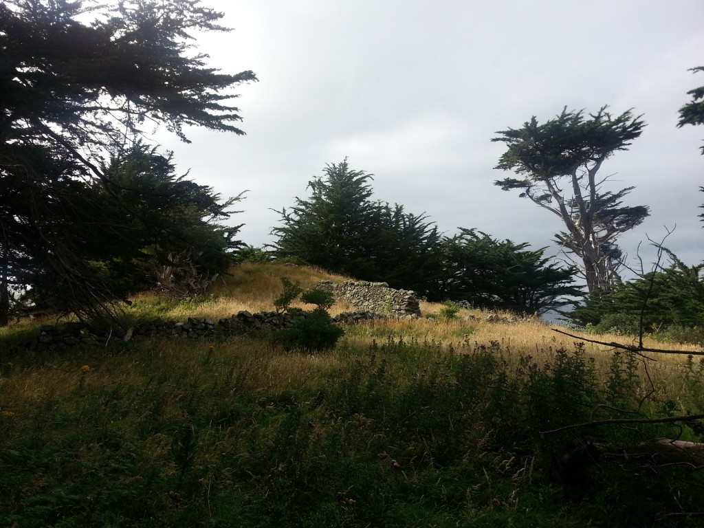
We climbed up on to the little hill and looked down on the entire site.
Mrs Sanderson married Duncan McGregor in July that year, and relocated with most of her children to Waikouaiti. Although that’s the end of the story as it relates to this place, I’m going to follow it a little further.
At least three of the five Sanderson sons were called to serve in the First World War (the other two I could find no information about). James Duncan was killed in action in 1917 and buried far from home in the Strand Military Cemetery in Belgium. He was 22.
Albert John Alexander served and survived to be called upon again in World War Two.
Alexander Mathieson was called in 1917, five months before his brother’s death. However, twelve years prior to enlistment he had been kicked in the leg by a horse and the resulting deformity rendered him unable to march. So he was shipped home as unfit for service seven months after being shipped out.
Alexander may have returned to the peninsula, as in September of 1918 he was involved in a feud between the Nyhon and Townley families. The Nyhons accused him of vandalising a gate on their property, but the case was thrown out.
Two months later he would be dead.
The horrific influenza pandemic struck New Zealand between October and December 1918. In just two months the virus killed about half as many New Zealanders as the entire First World War. It has been calculated that New Zealand’s peak of mortality occurred on 23 November that year, the exact same day that Alexander Mathieson Sanderson died in Dunedin Hospital from pneumonic influenza. His was one of 273 Dunedin deaths from the disease.
Poor Janet, who had already buried a daughter and a husband, was now left to grieve the two sons she had lost in such a short space of time, in New Zealand’s two deadliest events of the early 1900s.
The Sandersons only occupied this place for perhaps twenty years, and I can’t tell you who came before or if anyone was here after. But through their story we are able to see some of New Zealand’s major historical events from the perspective of the people who lived through them, and for that it is valuable.
Having seen what we could, we decided to head further down the track. Our continuing adventure will be detailed in part two of this post, coming soon.
Update: Reader Steve, a descendant of William Donaldson, has kindly provided an undated photograph of the façade of Donaldson’s Hotel along with the following tidbit:
“To facilite the journey on the high road he (talking about Larnach) had the red brick hotel, later known as Donaldson’s Hotel, put up on the road across from Mathieson’s Springfield farm and cheese factory. Travellers could take a rest or spend a night there:
The story goes that Larnach liked to drink and had to go all the way to Anderson’s Bay on his horse, that’s why he had the hotel built, but apparently he couldn’t get a liquor licence…”

References:
Tracks on Web-maps of the Dunedin Area and the Expanding Role of Track-names By Pete McDonald
QUARTERLY LICENSING MEETING. Evening Star , Issue 2977, 3 September 1872, Page 2
Page 4 Advertisements Column 4 Otago Daily Times , Issue 3597, 15 August 1873, Page 4
LICENSING COURT. Evening Star , Issue 3751, 2 March 1875, Page 2
PENINSULA LICENSING COMMITTEE. Otago Daily Times , Issue 8826, 9 June 1890, Page 4
PENINSULA LICENSING COMMITTEE. Otago Daily Times , Issue 8510, 3 June 1889, Page 4
THE COURTS—-TO-DAY. Evening Star , Issue 8034, 10 October 1889, Page 3
The Farm. Otago Witness , Issue 1355, 17 November 1877, Page 18
Deaths. Evening Star , Issue 11335, 1 September 1900, Page 4
MARRIAGES. Otago Witness , Issue 1494, 3 July 1880, Page 17
BIRTHS, MARRIAGES, AND DEATHS. Otago Daily Times , Issue 11848, 26 September 1900, Page 7
Page 38 Advertisements Column 2 Otago Witness , Issue 2774, 15 May 1907, Page 38
MARRIAGES. Otago Witness , Issue 2782, 10 July 1907, Page 51
SANDERSON, James Duncan – WW1 9/1105 – Army
SANDERSON, Albert John Alexander – WWI 17731, WWII 3/18/96 – Army
BELGIAN RELIEF FUND Otago Daily Times , Issue 16916, 31 January 1917, Page 5
Commonwealth War Graves Commission
SANDERSON, Alexander Mathieson – WW1 45744 – Army
THE COURTS-TO-DAY Evening Star , Issue 16852, 30 September 1918, Page 4
Well done, a very interesting article.
The remnants of stockyards at the Highcliff Hotel were also associated with breeding sows that were housed in the buildings for a number of years during the 1970s and eighties by the Dicksons .
Thanks Pieter, that helps solve the mystery!
William Donaldson was my great great grandfather – I can contribute a few bits;
A family member had passed on this bit of information they had come across in a book at the former version of the early settlers museum:
It says: “To facilite the journey on the high road he (talking about Larnach) had the red brick hotel, later known as Donaldson’s Hotel, put up on the road across from Mathieson’s Springfield farm and cheese factory. Travellers could take a rest or spend a night there:
The story goes that Larnach liked to drink and had to go all the way to Anderson’s Bay on his horse, that’s why he had the hotel built, but apparently he couldn’t get a liquor licence…
William and Eliza Donaldson had 18 kids. One of the boys unfortunately died in one of the stone walls prevalent in the area:
https://paperspast.natlib.govt.nz/newspapers/OW18970701.2.220?query=william%20donaldson%20wall%20accident
There was talk in the family years ago about some sort of financial scandal involving one of Williams brothers in Scotland and a lot of farmland on the peninsula had to be sold off.
I have an photo of some of the facade of the hotel I’m happy to share. Not sure of the date, but it’s a match for your image above. I’ve never seen the ruin myself, but i’ll be sure to retrace your steps next time I’m in Dunedin
Hi Steve, that’s some great information! What a sad way for that poor boy to go though. If you’d be happy for me to add your photograph to the article, could you send it to amanda@nunn.nz?
Hi, I just found your blog and am loving your Otago Peninsula entries, I live on Karetai Road. I’m trying to research our farm history and was wondering about your reference to the 1901 map, where could I find a copy?
Hi Julia! Thanks for your kind words.
The 1901 maps are held in the Dunedin office of NZ archives. They have also made the 1922 maps which are very similar available online which you can find by searching for series 23774 at archway.archives.govt.nz. Hope that helps!
Hi Amanda, fascinating reading. Have you covered any other farms on the Peninsula?
Thanks for the comment! I’ve covered quite a lot of Peninsula farms – take a look at my Otago Peninsula category: https://adventure.nunn.nz/new-zealand/otago-peninsula/
I’ve done the Stewart and Rutherford farms as well as a quick look at a few others around Harbour Cone. I’ve done the three on the way to Boulder beach down the Paradise Track and also the three you pass if you take the Buskin track. I’ve done the Paton farm and the Kerr farm and also looked at the families of Sandymount in the “Sandymount Feud”
HI MY MOTHER WAS A MCMEEKING THEY HAD A FARM WHICH RAN RIGHT DOWN TO BOLDER BEACH MY GRANDAD BOUGHT THE FARM IN SCOTLAND OF A MAP AND HE THOUGHT IT WAS FLAT LAND BUT IT WAS THE STEEPEST ROUND IT RANRIGHT BESDE THE CLIFF THEY MILKED COWS THERE FOR ABOUT 60 YEARS .THE COTTAGE IS STILL THERE IT OVER LOOKS BOLDER BEACH RIGHT DOWN TO SANDY MOUNT .
THANKS ANDREW J STOUT .
THANKS MY UNCKLE MILKED 40 COWS .AND HE KNEW THE NAME OF EVERY ONE .
Very interesting article. I am a descendant of William Sanderson. I have just started researching him. If any of you can offer information or share photos, I would appreciate it.