Today was a bit different. We started off with a vague idea of exploring the far side of Papanui Inlet, which had intrigued us from our vantage point at the Papanui salt marsh a few weeks before.
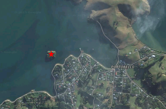
As we headed along Portobello Rd, we kept pace with the steam locomotive Ab 608 Passchendaele on the other side of the harbour, taking a trip to Sawyers Bay as part of its South Island tour. The tide was very low, and we noticed while passing Edwards Bay just ahead of Portobello that Pudding Island, a small bushy knoll not far from the shore, appeared to be accessible by foot. We immediately seized the opportunity and squelched across the rocky isthmus.
This island was considered an ideal picnic location in the early days of Dunedin, with an 1898 request to cultivate it being turned down for that very reason. A fire (or several fires) started by careless visitors destroyed some of the vegetation, and spurred the government in 1910 to declare it protected under the Scenery Preservation Act. The burnt area was replanted with native species – beech, kowhai, karaka and more – about 1000 plants in total.
And here we were, standing on the rocky shore of the island, with no clue how to get up.
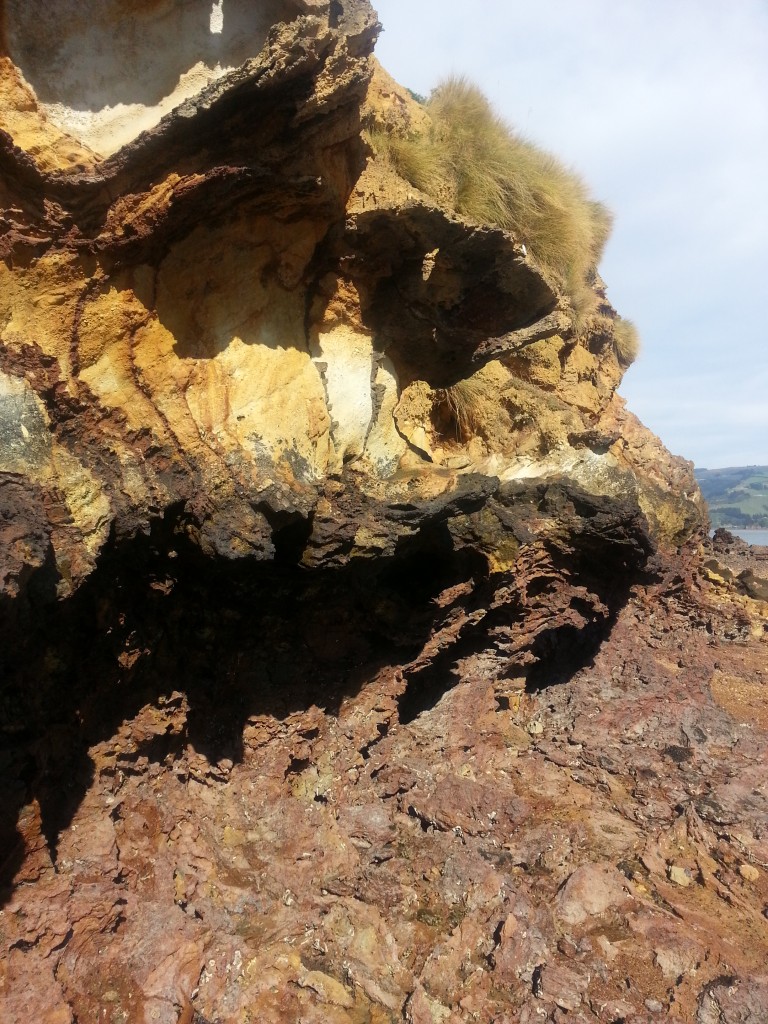
We did a slow circuit, investigating as we went. The rocks on the shore were cloaked in neptunes necklace seaweed and there were many large turbo shells clustered in the pools. Both of these are apparently edible, so while you may not find any actual pudding on the island, you might be able to scrape together a main course!
I plucked a big turbo from the rocks to check out the catseye on the bottom and was subjected to a long stream of water aimed directly at my face. Touché, turbo shell.
There was a little tunnel right through one corner of the island and a lot of weird and wonderful rock formations.
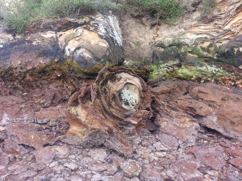
But still, no easy way up. So we turned to make our way back, only to find that the water had risen! We were forced to paddle our way back to the safety of the shore, resulting in damp shoes and socks and a vow to obtain jandals or gumboots before trying this again.
Our detour over, we continued on our usual way, crossing over the peninsula at Weir Rd. This time there were two families of paradise ducks with clumsy little fuzzlings.
We turned right along Papanui Inlet Rd and followed it right around the edge of the inlet, continuing along Cape Saunders Rd once we reached it. As we passed a cluster of baches we begun to climb the slopes of Mt Charles and figured we’d see where we ended up. It was a brilliant morning and we were treated to grand views of the inlet as well as the glittering ocean beyond, against a backdrop of emerald pastureland on the scarred and rocky face of Mt Charles.

We climbed over the saddle between Papanui Cone and Mt Charles, hoping to find access to Cape Saunders or Papanui Beach below. Alas, our way was barred by gates sternly signposted as private property. So we meekly turned tail, but not without stopping several times to abuse the panorama setting on my phone camera.
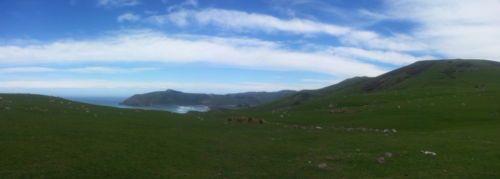
Thwarted, we returned to our familiar salt marsh stomping ground, opting for a short walk towards the estuary, retracing part of our more ambitious loop walk.
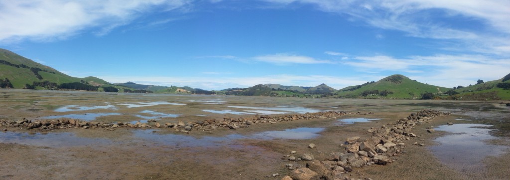
We debated the origin of the rows of rocks the low tide had exposed, theorising that perhaps they had once marked the edge of the lagoon, an anti-erosion system just as successful as the constant struggle to keep St Clair Beach sandy.
With the tide coming in fast, we decided to call it a day, and headed home in search of lunch.
I enjoy of finally being a part of this community