Today we decided to challenge ourselves with a walk we’d last completed two years ago – the 8km Millenium Track that runs down the Taieri River Gorge from Ferry Rd to the river mouth.
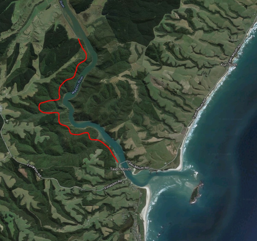
We used some strategy here to avoid having to walk there and back, parking one car near the bridge at Taieri Mouth, then taking another around via Finlayson Rd, through Waihola, and then down Taieri Ferry Rd to the car park at the start of the track.
The river is still tidal even this far inland, and currently it was high, although not as high as it was when I visited in July 2014 only to find that a freak king tide had completely flooded the road and part of the track. Happily the river had chosen to stay within its banks today.
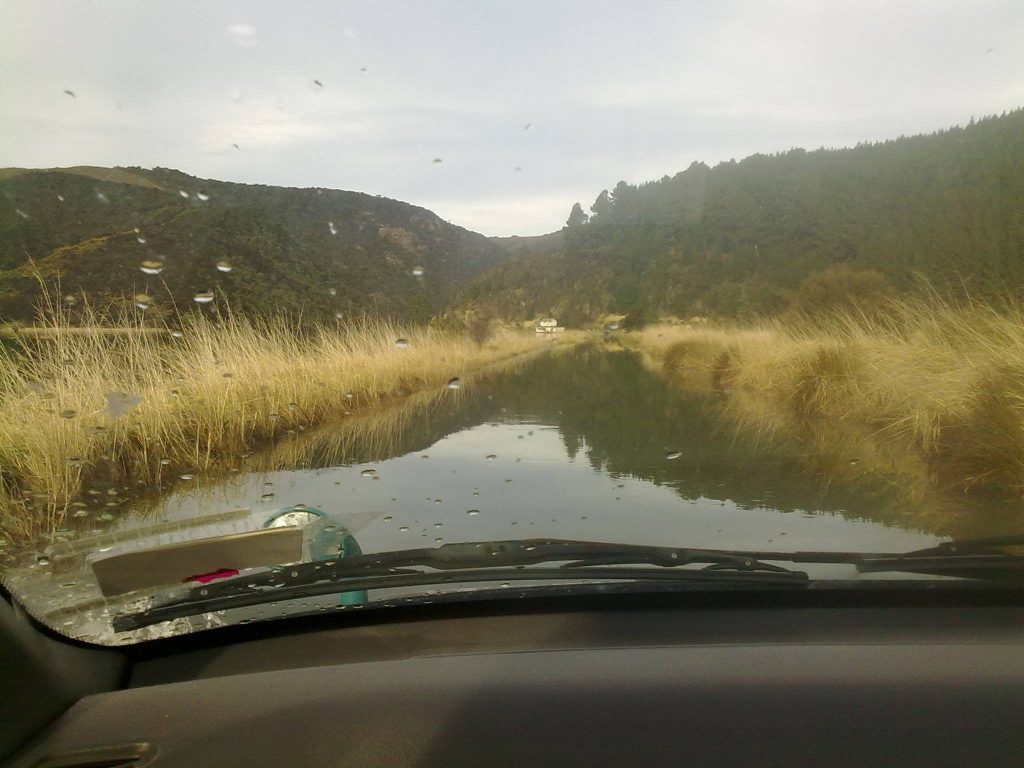
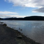
In fact the day was positively idyllic as we walked alongside the placid river under a clear blue sky. Winter for the moment was forgotten as we basked in the warm sunshine.
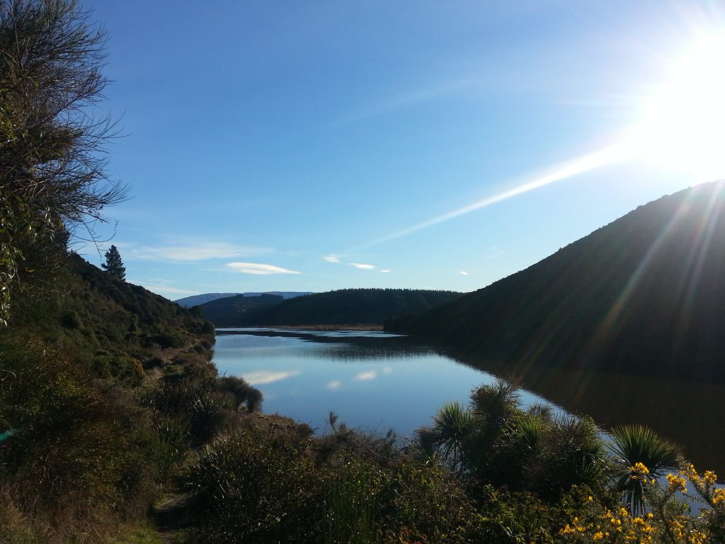
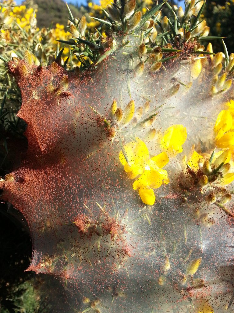
Over the first little hill there’s a flat stretch next to the river which is great for fishing, although I haven’t caught anything there in ages. The gorse bushes were in bright yellow bloom and I noticed one that was particularly covered in nursery spider webs. I leaned in for a closer look as it seemed the web was covered in some sort of bright red pollen – and then backed away quickly when it turned out that the “pollen” was in fact thousands of tiny spiders.
Hastily passing through the spider zone, we headed up into the bush, taking a left to continue up the hill instead of down to the riverside picnic area below. As we climbed I heard a sink-like gurgle followed by a series of pure and perfect notes – only a tui has that kind of vocal range! In fact we managed to spot a couple of tui, several robins and a crowd of tiny energetic silvereyes. Naturally, none of them wished to be photographed.
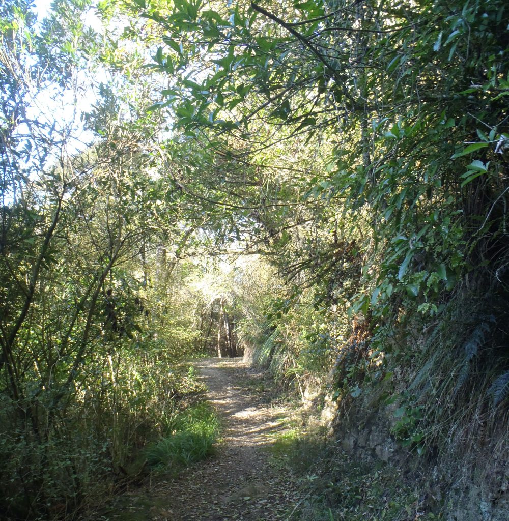
We quickly rose above the lush low-lying stands of dense bush and tree ferns, up into the lighter and more airy dry ridge forest. But soon the track plunged back down the other side of the ridge to cross a small clear brook. This is where we were given the option to turn off for the John Bull Gully picnic area, but we declined. I’ve never visited the gully, and upon doing some research on the interesting character who gave the place its name, I’m rather disappointed that I didn’t. Since I don’t know when I’ll get the chance to get down there again, I’ll give you the run down here regardless.
The picturesque (or so I’ve heard) outlet of the gully has been used as a picnic spot for well over a hundred years. It used to be known as “John Bull’s Garden” in honour of an American ex-whaler who was one of the earliest settlers at Taieri Mouth. Born in 1812 under the name Robert O’Neill, he earned his moniker through feats which demonstrated his enormous strength (often performed in return for some tipple).
After arriving at Dunedin he settled for a while at the mouth of the harbour where he made a living by boating and fishing and reputedly made his home in a cave. Later he moved to the Taieri River and married Akapai, a Maori woman from Waitaki. Wrapped in her shawl, she was a common sight for ferrymen on the Taieri and always responded to their greetings in her native tongue. The spectre of the wild John Bull meanwhile was a terror for the local children. After eight years of marriage Akapai passed away, leaving her husband distraught.
He made a living punting and crossing cattle on the river for a while before relocating once again to Taieri Mouth. Here he was employed as a pilot and earned his other nickname – “The Hermit of Taieri Mouth”. Though the man was strong, poor self-care and love of booze eventually wore him down and he became almost bedridden in his rapidly decaying whare. On seeing this the local community raised funds for his care and built a lovely new hut for him to live out his last days in, but he stubbornly refused to leave his own home until threats of being committed to hospital finally overcame him. He died on 26 December 1883 and his remains were carried in style by steamer to be buried by his wife at the Maori Kaik in Henley (presumably the site of this is represented by Maori Kaik Rd, now apparently leading to nothing but a few paddocks – comment if you know more!).
Rest and reflection complete, it was time to haul ourselves out of the gully. We’d just finished commenting how easy we were finding the walk compared to our last attempt in 2014 when we discovered that we’d just blundered on to the most difficult section. Our route rose steeply back up to the ridge, offering us only the occasional tantalising glimpse of the river through the underbrush. What an amazing view we’d have if all this native bush weren’t in the way!
Finally back on relatively flat ground, we broke out into the sun.
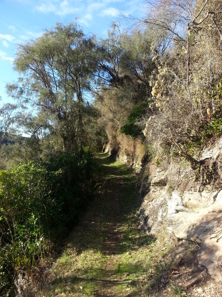
Following the cutting along the ridge, we began to feel the tummy rumbles that indicated lunch time was fast approaching. Happily there are several benches set up at convenient locations along the track, and we found the absolute perfect spot to stop and refresh ourselves.
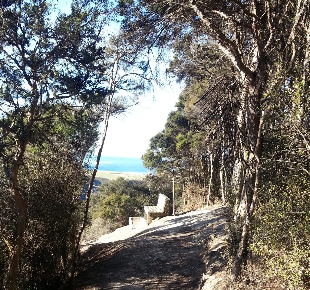
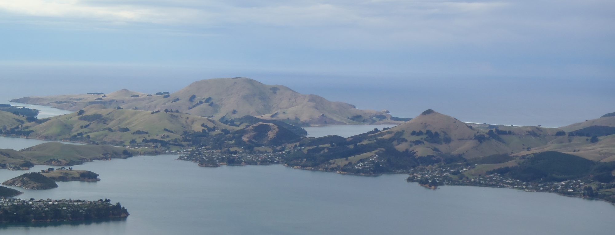
Sitting on the sunny bench we finally found what we’d been longing for – an unrestricted view of the Taeiri River. We could see upstream the way that we’d come and downstream to Taieri Island and the ocean beyond. A little robin flitted around us as we nibbled our muesli bars.
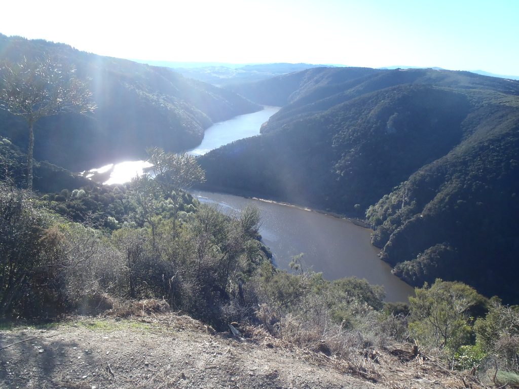
Directly ahead of us was the bulk of Maori Leap, and there are quite a few versions of the legend that belongs to it. I’ll go with Atholl Anderson’s as the most authoritative, although it is also the most complicated.
It began when a Ngati Mamoe chief named Tiwiriroa, who lived near Lake Wakitipu, decided to bring his people to settle at Taieri Mouth, building a pa named Motupara. Tukiauau, another Nagi Mamoe chief, lived near Lake Waihola. Tukiauau’s son Korokiwhiti soon caught the eye of Tiwiriroa’s daughter Haki Te Kuri and she fell in love with him, much to her father’s displeasure.
Tukiauau was soon warned of enemies approaching from the north who held a grudge against him, so he decided to move with his people to the south. Distraught, Haki Te Kuri attempted to leap from a rock (not Maori Leap) into the canoe of Korokiwhiti, but hit the prow and was killed. She was decapitated and her head displayed to her kinsmen on shore.
Tuwiriroa pursued his daughter’s killers to Stewart Island, where he killed Tukiauau and his son as well as many of the tribe who had sheltered them. But two survivors of the massacre eventually managed to convince a group of Ngati Kahungunu or Ngati Porou to take revenge on Tuwiriroa’s descendants who resided at Henley near the start of our journey. The first attack failed, but the next attack – while the victims were enjoying a feast – succeeded and many were killed. Tuhokairaki, the chief, then made the famous leap from the cliff before us. Alas it was for naught, as his enemies caught up with him on the river and he was killed.
It’s hard to believe that this was once a place of murder and violence, especially on such a beautiful day.
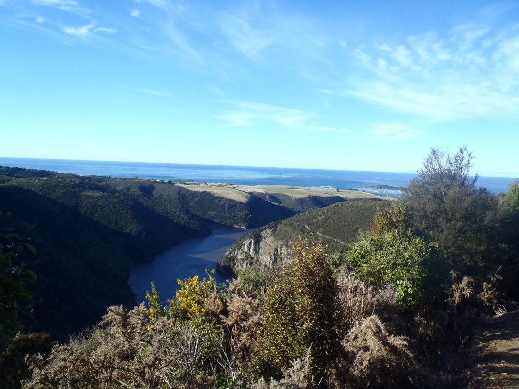
Lunch over, we continued along the ridge, bolstered by the view of the sea we had just enjoyed. Soon the track began to lead us back downhill with many steps installed to ease our way, although erosion had rendered some of them more awkward than helpful.
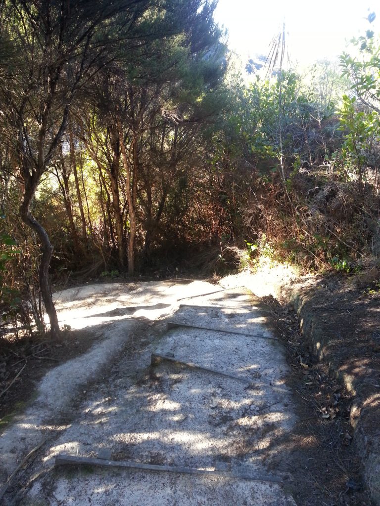
Then we were back in the lush ground-level forest before reaching the swampier estuary zone. Luckily there were some well-constructed board walks to keep us out of the mud. We tromped determinedly along over crab-holes and between flax bushes.
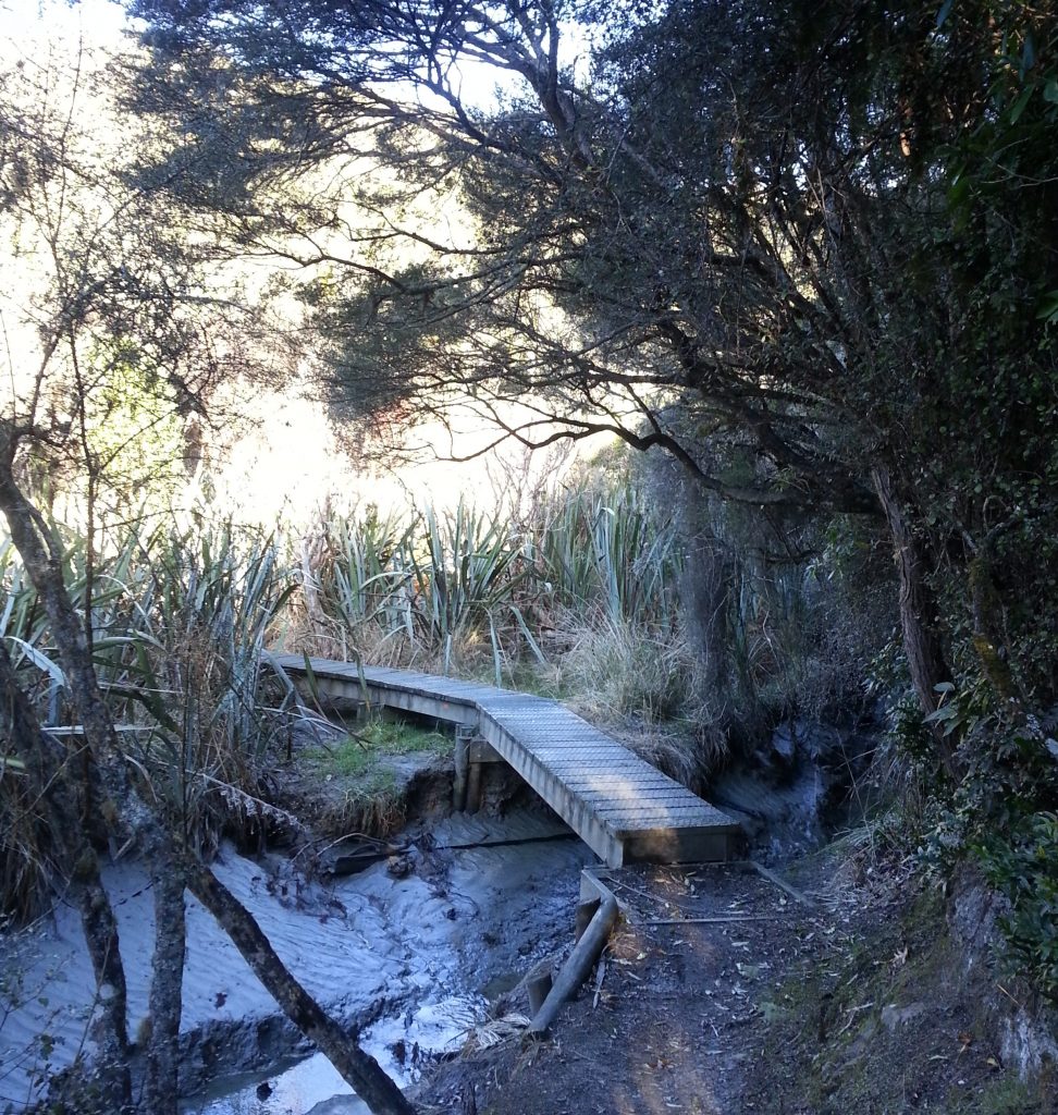
We followed the edge of the river in dappled sunlight, partially obscured by the wall of trees on both sides. Then it was just one more short haul up some steps…
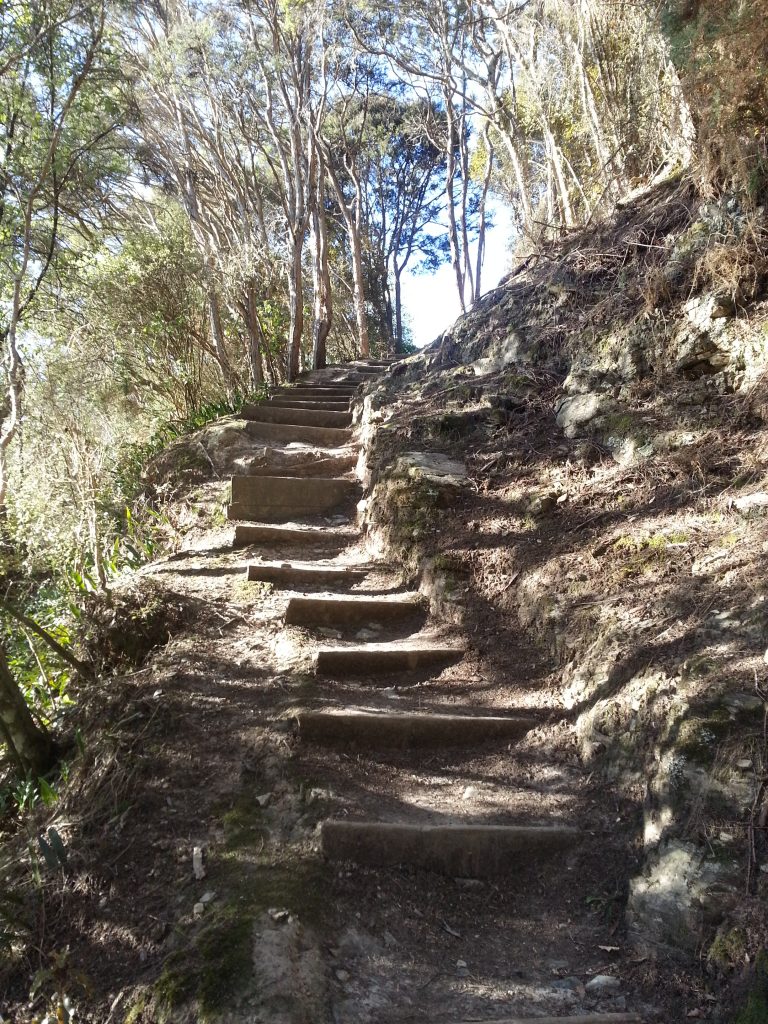
And we got our first look at the bridge and our destination! Energised, we hurried onwards, emerging from the bush in front of a little row of riverside baches. Three hours was not a bad time for us, and we congratulated each other before climbing in to our conveniently parked spare vehicle. Pulling out I stopped sharply to exclaim over a kingfisher perched by the river (only one of the reasons I don’t drive often!), and then it was back round through Waihola to pick up our other vehicle.
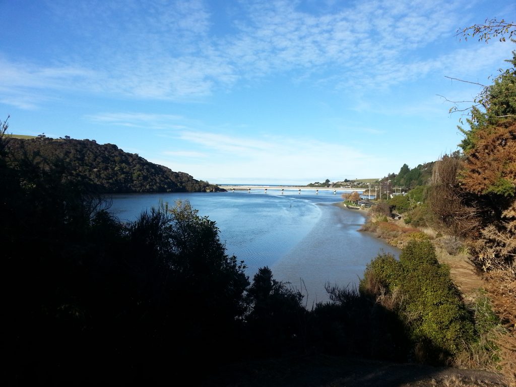
Satisfied with our trek, we each returned to our homes to rest and prepare for the next adventure.
References:
In Early Days. Clutha Leader, Volume XXXVII, Issue 77, 4 April 1911, Page 2
AN ATTRACTIVE HOLIDAY REPORT THE LOWER TAIERI. Otago Witness , Issue 2651, 4 January 1905, Page 78
A NOTABLE OLD DENTITY. Otago Daily Times , Issue 6834, 11 January 1884, Page 4
The welcome of strangers : an ethnohistory of southern Maori A.D. 1650-1850 by Atholl Anderson
Almost wish I’d gone too… but really to be the driver..
Māori Kaik Road does house theHenley Maori Urupa. It is being done up to honour the ancestors buried there. There is a new entrance and some planting roadside. There will be an information panel up soon outlining who is buried there. There are seven obvious graves with markers but the rest are unknown. Ground penetrating radar have located numerous graves and while the names of those buried there is known their exact position is not. Markers will be put in where the graves are located as per the radar assessment.