Six intrepid travellers had set off to conquer the Kepler Track, one of New Zealand’s famed Great Walks. We had toiled up the steep flank of Mount Luxmore, explored the caves, made friends with kea, and finally drifted off to sleep in Luxmore Hut along with 89 other adventurers.
We emerged from our sleeping bag cocoons at the first hint of light, knowing that we must beat the bulk of our fellow travellers to the next night’s stop at Iris Burn if we wanted any chance at overnighting in an actual bed.
Sans breakfast (we can eat that on the way!) we set off once again on the trail, turning every so often to look back over the shelter we’d worked so ceaselessly to gain, and the still lake below.
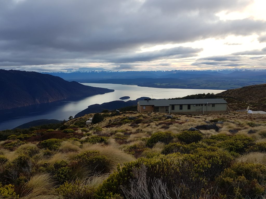
Soon, to my dismay, I encountered the very enemy I thought I’d vanquished the day before. Past a small tarn, glowing a deceptively welcoming gold under the first rays of sunlight, was…a slight incline.
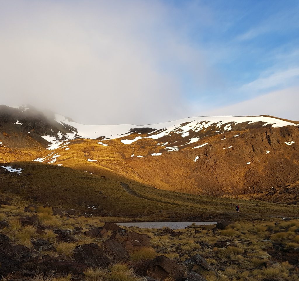
I pressed on up the slope. Thankfully my worst fear – that I’d be starting out today on yesterday’s sore feet – had not come to pass. Nevertheless, I swallowed an anticipatory Ibuprofen in hope of staving off the inevitable.
Here we also had our first encounter with what was left of the previous week’s snowfall, which had been the subject of much concern for us. Only late last night had the DOC rangers finally updated the track forecast to indicate that it was safe to traverse this region without specialised mountaineering gear.
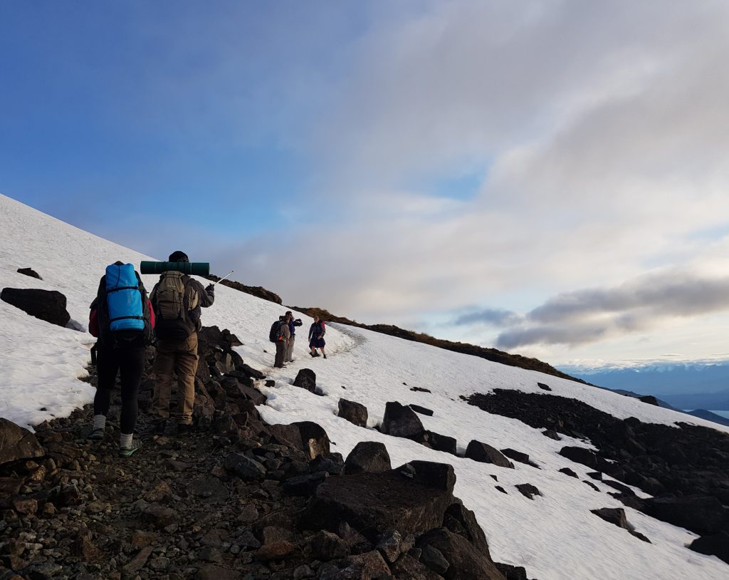
In some places the icy crust hid deceptively deep holes, but we all managed to get across without mishap. Now we were following the line of Lake Te Anau’s South Fiord westward as the sun rose higher behind us, bringing the mountain folds into sharp relief and trailing long rays from the snowy peaks across the valley.
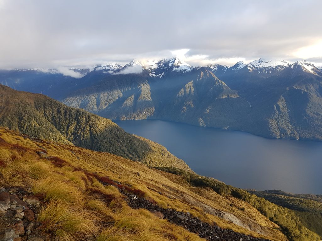
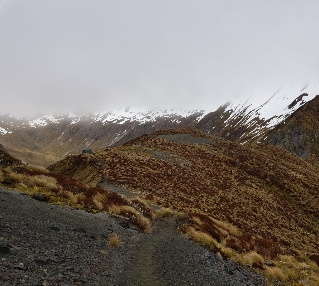
We thought that, like yesterday, the early start would only enhance the beauty of the alpine world we were passing through. However, we soon found ourselves marching into thick cold fog, cutting us off from the magnificent views we’d so far enjoyed.
But what’s this?! A chorus of harsh cries sounded through the mist, and soon a group of about five kea swooped in to join us. As I watched them approach, I really, really hoped I’d be able to get some shots of the red undersides of their wings this time. Please cooperate, kea!
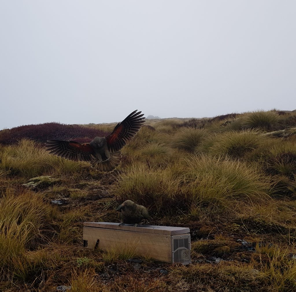
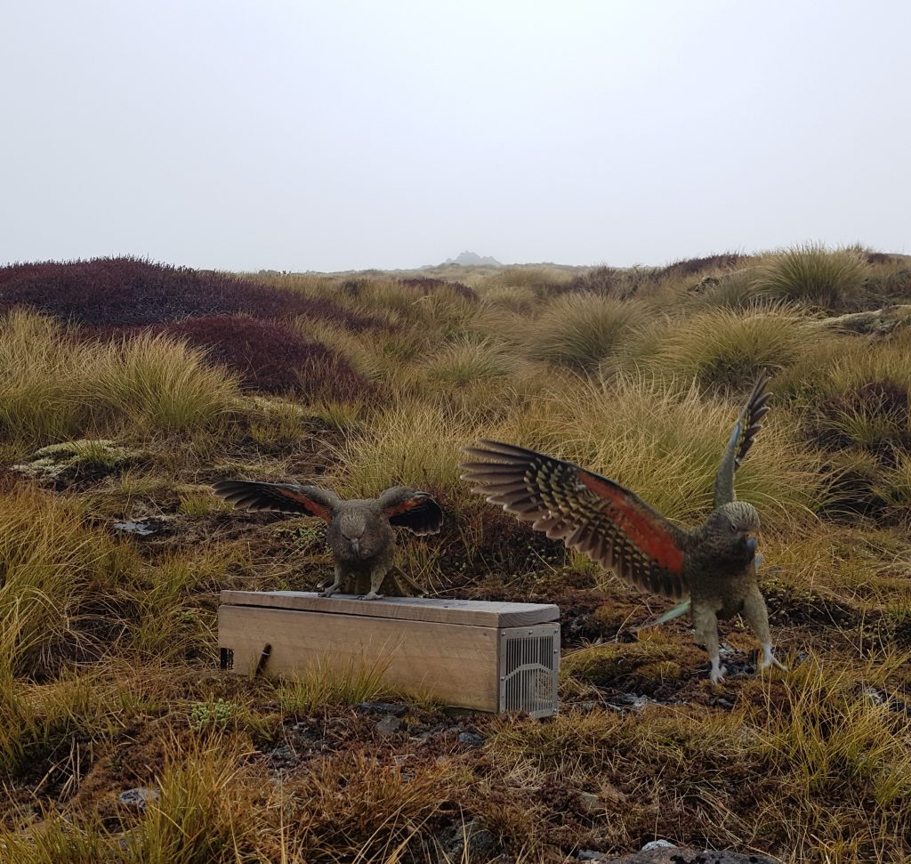
They investigated us thoroughly while also offering entertainment in the form of jockeying for position atop a predator trap. This trap and many others forms part of an ongoing predator control operation in this lake-bounded landscape that takes advantage of several factors – the natural barriers that work to keep invasive species from migrating in at an uncontrollable rate (Lake Te Anau to the north, Lake Manapouri to the south and the Waiau River to the east), its handy proximity to a town, and its relative visibility as a scenic treasure of New Zealand. The partners in conservation include local children, the Department of Conservation, and the Kepler Challenge Trust (who run the annual single day running event for people who find the multi-day walk too little of a challenge).
Luckily, these traps appear to be perfectly kea-proof, not something that can be said about many things in this world.
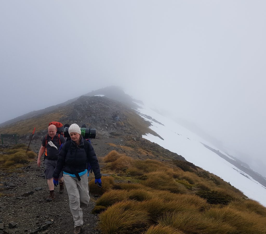
The wind picked up as we forged on into the the chilly fog, and out came the gloves and woolly hats from various hiding places. Only Tim was unaffected by the harsh alpine conditions, jaunting along in an outfit more suitable for a stroll in the park. But that’s Tim for you.
Eventually we found ourselves directly below the Mount Luxmore summit. Though the maps showed a track to the top and recommended it as an optional detour, we discovered the climb was more of a rocky scramble.
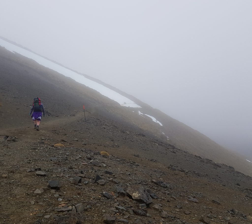
We debated between ourselves about making the detour. Emma hated to miss a single part of the Kepler experience, but I was once again feeling a warning ache in my feet, so I only wanted to do it if I could leave my pack behind at the junction. But the frigid wind was too cold for anyone to wait with our stuff. Eventually we decided to give it a miss, since the main reason for making the climb – the view – was in this case likely to be limited to staring into the mist from a slightly higher altitude.
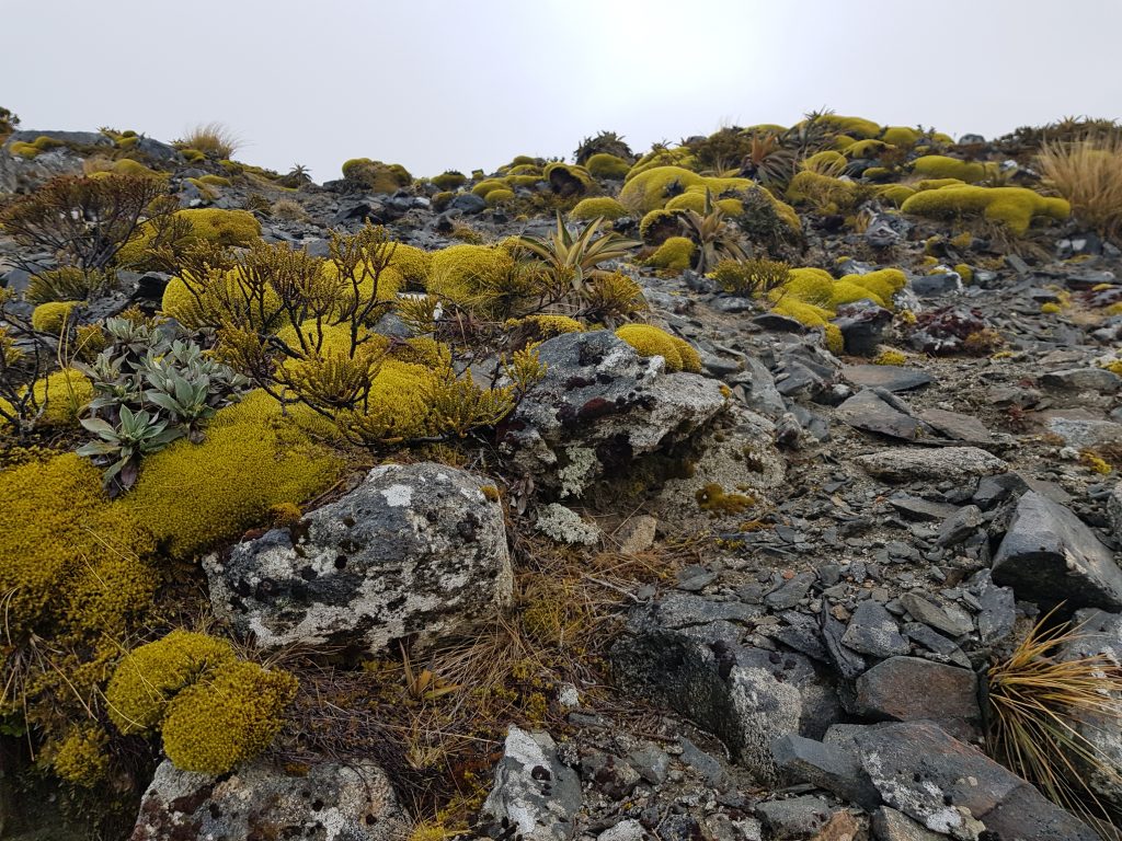
Since we couldn’t appreciate the view I kept my eyes to the ground as we continued, admiring the fascinating tiny world of alpine plants. There were clusters of miniature speargrass and multi-hued patchworks of moss and lichen.
Despite the apparent hostility of the slopes of Mount Luxmore, European settlers of course had a go at putting the “useless” ground to work. The government in 1894 was attempting to lease out this land at a rock bottom price of less than £1 per 10,000 acres. This followed the attempts of an unnamed farmer to run sheep over winter on these slopes. The first year he lost about half his stock, and on the second try he lost closer to three quarters, and henceforth gave up, as it was not worth the time and expense to boat the stock across the mighty Wairau only for it to freeze and starve on the rugged mountains.
The newspaper report concluded that perhaps the only possible use of this country may after all be for tourism, and commented that it “offers attractions even to the most adventurous, who have there opportunities for acquiring fame as explorers and of incurring as much danger to life and limb and of starvation as they are likely to find pleasant”.
Sounds perfect!
It does however seem that at least one man still had the guts to try to carve a living out of Mount Luxmore…but we’ll come back to that later as we’ll be passing his homestead later on in our journey.
Luckily the fog lifted in time for us to spot the Forest Burn shelter at 1270m, built for emergency use should the weather turn foul up here on the exposed ridges. Fortunately we had no need for it today, and merely paused for a snack and visit to the dunny.
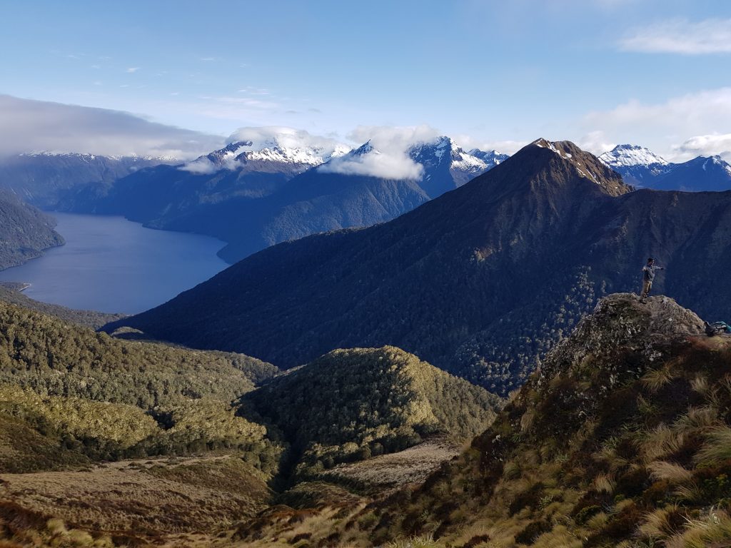
Now the mist truly lifted, and the hats and gloves came off again in response to the brilliant blue sky. It became apparent that we were still following the South Fiord of Lake Te Anau, and just in time too, because around here were the rocky outcrops that constituted the usual perch for intrepid Instagrammers for whom the backdrop of lake and mountain peak are irresistible.
We, of course, joined in the fun, taking turns to pose triumphantly as near to the edge as we dared go.
Then finally we approached the pièce de résistance of the Kepler Track – the long chain of narrow saddles zig-zagging from peak to peak ever further into the wilds of Fiordland. This section is featured heavily in track brochures and on Instagram as the most magnificent – though also mildly terrifying – section of the journey.
An extra treat was in store for us – the remaining snow left over from the past week’s weather bomb. It made the narrow trail all the more exhilarating as we balanced precariously like tight rope walkers between two steep drops.
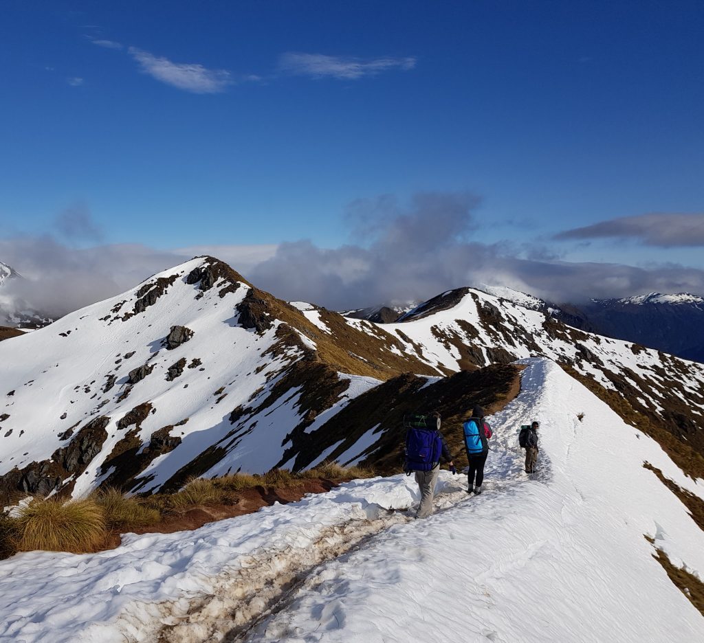
This section included the one point we’d been warned about as still posing a possible avalanche threat. Rather than follow the track as it cut across the face of a certain peak, we’d been instructed to follow a poled route to its summit. My aching feet throbbed anew at this prospect, but were overruled by my sensible conscience – and I begrudgingly climbed the extra hill rather than take my chances cutting through the snow.
Beyond the danger zone we finally reached Hanging Valley Shelter, another emergency option and very nearly the highest point on the track at 1390 metres. In addition to a hanging valley below (a smaller valley which has been cut off by a larger one) the facility also featured a hanging dunny. There were quite a few fellow trampers hanging out and having lunch here, as well as two kea, a pressing reminder that we had to keep up the pace if we wanted a bunk tonight.
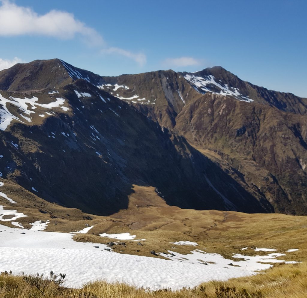
So we soldiered on, and I was grateful to note we were now heading steadily down hill. There were even handy staircases to ease my way. There was one final look out at 1167m over the valley of the Iris Burn, but I took the opportunity to rest my feet rather than take advantage of the vantage point. I was content simply to take the others’ word that the view was wonderful.
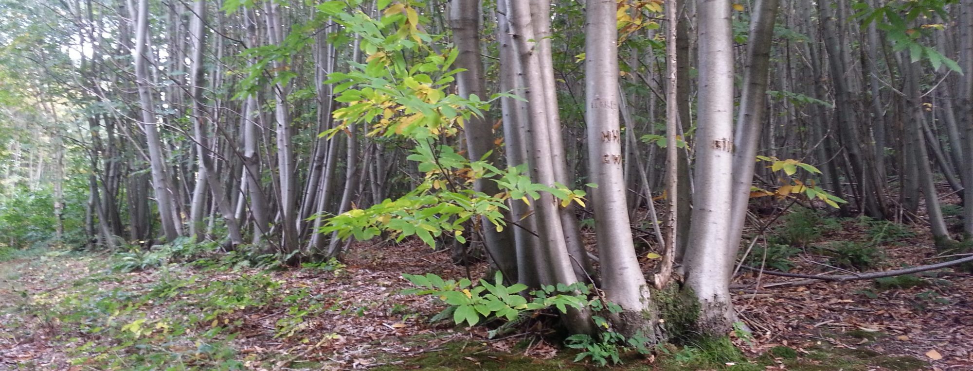
Then it was down, down a switchback path, back into the cool greens of the beech forest.
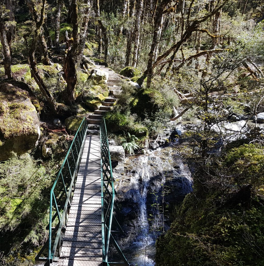
By this point I was becoming seriously ragged, once again having hit the hard limit of what my poor feet could take. But I forged on, sure that our destination was only around the next bend, or maybe the next, or surely the one after that.
After what I considered an unnecessarily long stretch downhill alongside a tributary to the Iris Burn, we finally spied our lodgings. What’s more, Leigh had powered on ahead and reserved bunks for us. Bliss. I peeled off my footwear and took a seat on the deck, not intending to move for the remainder of the day.
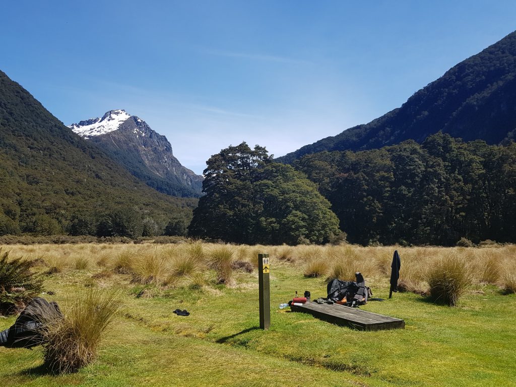
As usual, my companions had other intentions. Only 1.5km away was the famous Iris Burn waterfall. After a brief respite for my tortured toes they were back in action again, to see what all the fuss was about.
From the trail brochures we’d got the impression that the falls were not particularly impressive, likely no better than our own Nichols Falls. But in this case the photographs had mislead us, and we were awed by the power of the crashing water and the churning pool below.
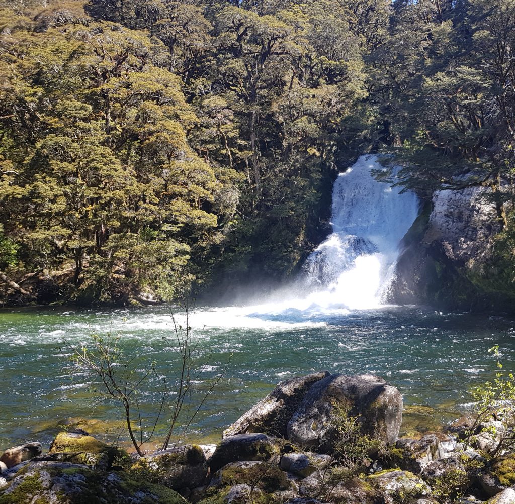
I took the opportunity to take off my T-shirt and soak it in the frigid water. I felt like I was in one of those pictures in which a handsome prince chances across a beautiful nymph bathing in a forest pool – though in my case the “nymph” was sweaty and slightly chubby.
The others were braver than I, even going so far as to submerge themselves completely. I made do with wetting my sore feet.
After a good interlude we returned to the hut, with most of the afternoon left to relax in the sun. The only catch was that now we were back under 500m the sandflies were out to play. We used most of Emma’s bug repellent in our futile quest to keep them at bay, but the five hours of protection the bottle boasted seemed reduced to a mere twenty minutes a pop.
Still the recharge did us good, and when dusk fell we were grateful for our beds (sans Leigh, who had given up her own for a more needy late arrival). As we drifted off to sleep with heads full of grand vistas and snowy peaks, we could only wonder what new scenes the morrow would bring.
References:
Ooh the tension is building…great photos and story.