Dad was heading to Clyde to meet up with a visiting group of overseas entomologists, so I took the chance to hitch along and stay at a camp site in Alexandra for a couple of nights while they bonded over their mutual love of little insects.
For me the journey meant my first ever experience of towing a trailer – my parents’ fancy camp trailer which would be my home for the next few days, solar panel and all. I guess this is what they call “glamping”!
We stopped only once on the way, at Jimmy’s Pies in Roxburgh, as is traditional. After enjoying a pastie, it was time to complete our journey to Alexandra, where we set up my camp at Alexandra Holiday Park, which I vaguely recognised as being a place the family had spent a sweltering Central Otago New Year once when I was young.
Once that was taken care of, I dropped Dad off with his friends and returned to camp to plot out my Alexandra adventures. I was keen to get some fishing done but also wanted to make an effort to explore the context and history of the town while I had the opportunity. I finally settled on a plan that would hopefully allow me to do both.
After a lazy morning lie-in, I gathered my fishing gear and set off into Alexandra. My first goal was to climb the arid rocky slope up to the giant clock face which overlooks the town and presumably makes the Alexandrians a very punctual people.
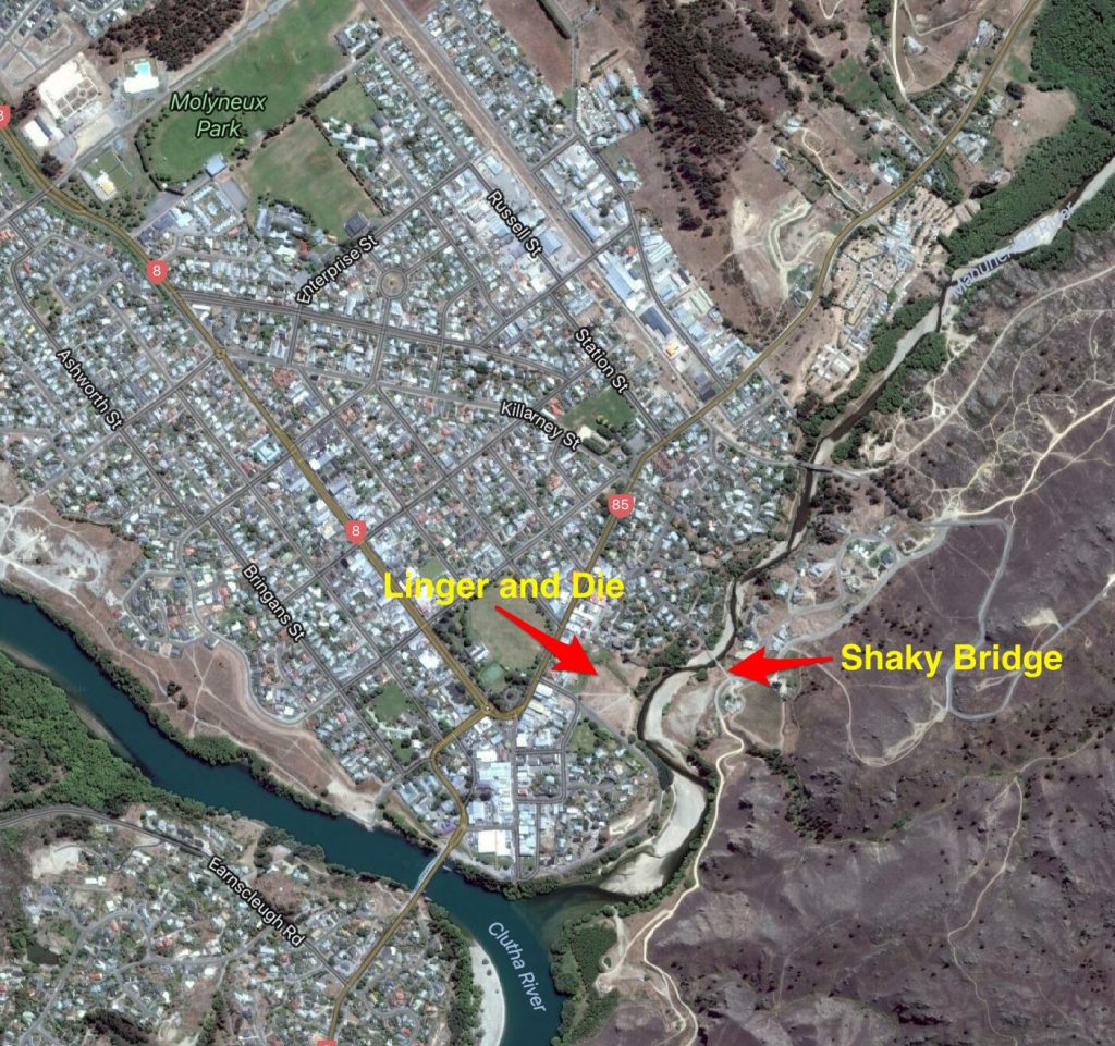
To get there I made my way on to Tarbert St, on to Fox St and finally on to Kerry St, where I was confronted by the Manuherikia River and the historic “Shaky bridge” crossing.
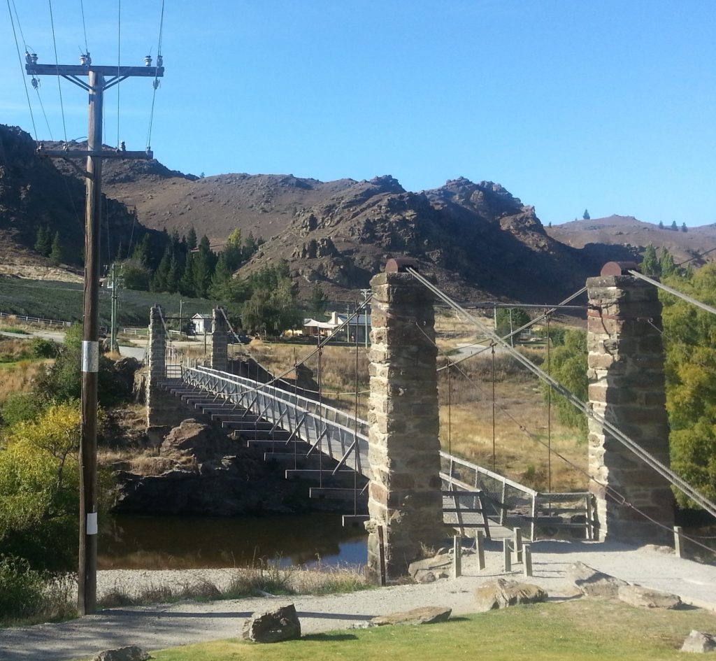
Shaky bridge was opened int 1879, although the opening of another road/rail bridge nearby in 1906 rendered it somewhat obsolete and it was offered for sale. The new purchasers let it deteriorate and it was sold back to the local authorities in 1951. The bridge was restored for foot traffic at a cost almost as much as its original construction.
As I crossed I examined the river below for fishing possibilities. Sadly it appeared to be chock full of dydimo, the invasive waterweed which infests much of the Clutha and causes untold problems for anglers.
I passed by the vinyard and winery with only a little regret, heading for the winding path up to the clock. At this range, what had previously appeared to be barren rock turned out to be slopes covered in pale lavender central Otago thyme.
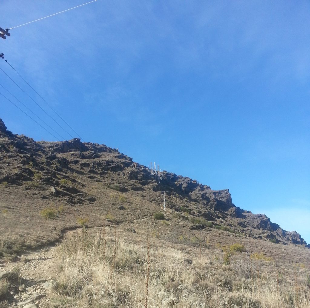
I began the hike up the hill, soon finding it wasn’t actually as difficult as it had looked from the ground. The Central Otago tourism website had advised to allow an hour to complete the walk but I don’t believe it took me more than 20 minutes to reach the rocky pinnacles below the clock, even weighed down as I was with my fishing gear (which must have been a confusing sight for the tourist couple I passed).
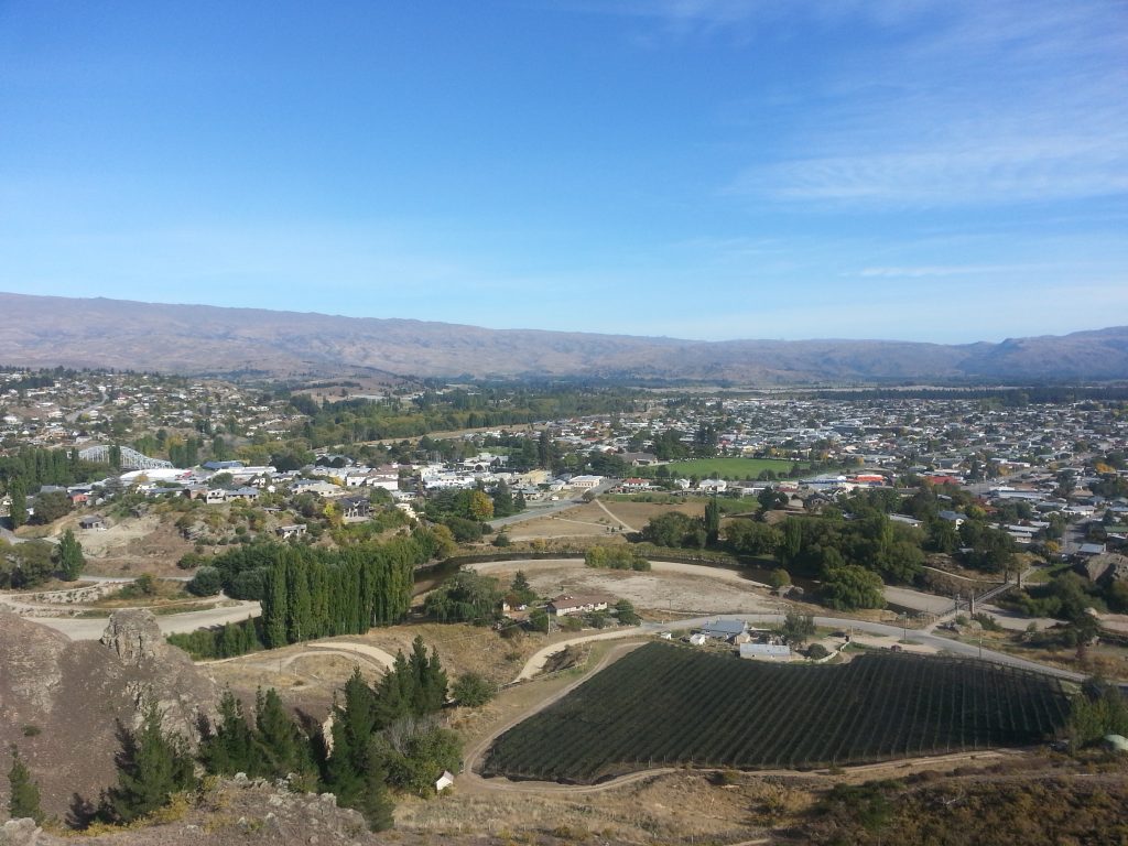
The 11m clock was proposed in 1966 by the Alexandra Jaycee Club Inc. Remarkably, it was supported by over 90% of Alexandrans, and completed in 1968 for a price of $2,966 (which sounded like a bargain until I plugged it into the Reserve Bank of New Zealand’s inflation calculator and discovered that would be $50,866 in today’s dollars).
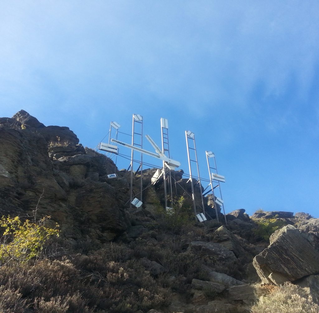
After surveying the sunny Central Otago kingdom and its two rivers to my contentment, I picked my way back down the slope and tottered over Shaky Bridge to continue my meanderings toward the Clutha River. Shortly I came to a sign telling me I had come to a cheerful place known as “Linger and Die”, its current incarnation being that of a grassy piece of parkland alongside a bend in the Manuherikia River.
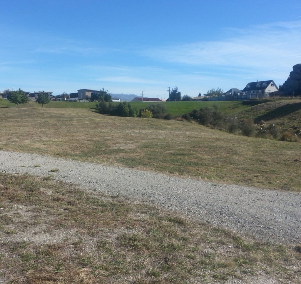
I did linger a little, looking over the flat portion of land which was dredged in the 1900s by the Golden Link Dredging Company, who found the gravel here to be particularly gold-laden. Unfortunately a bank collapsed onto their dredge, causing a loss of £8000 while they acquired only £2300 worth of gold. Yet another tale of woe from the gold mining days.
Lingering still, I reflected on the inauspicious name given to this claim. Its origin is a mystery, with the first known reference being a 1912 application stating that the area had previously been worked by a “Linger and Die” party. I love a good puzzle so I poked around on Papers Past to see if I could shed any light on the matter, and did find a mention of a “Linger and Die” claim at Bald Hill Flat between Roxburgh and Alexandra, owned by Carr and Stringer. Could this be the party who first worked the ground here, or was it simply a coincidence?
I also found a fun poem from 1926, from which I’ll reproduce an excerpt:
I used to be hard up, old friends passed me by.
But I got a few shares in the Linger and Die.
Now I am thriving, no longer get stuck.
Friends come and shake hands and wish me good luck.
Those “friends” would likely soon be shunning the unlucky poet again as the final attempts to extract wealth from this claim in the 20s and 30s would once again fail due to waterlogging.
At this point I chose to move on, not wishing to fulfill the second part of the claim’s moniker. I had fish to catch!
A few more minutes of walking brought me to the mighty Clutha.
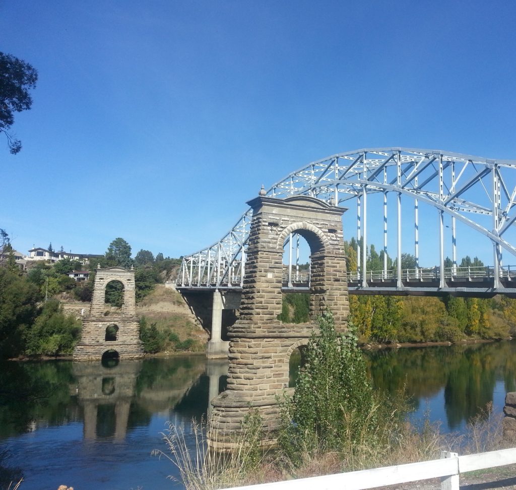
The old suspension bridge, whose two towers still remain, was built in 1879-82 and shared the same designer as Shaky Bridge. When opened to great celebration, it finally provided a safe crossing over the deadly Clutha. But with only one lane it eventually became obsolete and the replacement bridge was opened in 1958. I passed under the new bridge to hurl my line into the swift rocky depths.
A little boy soon joined me, and I was informed that there are two kinds of trout in the river and also that his dad has three boats. Miffed because my dad has none, I moved downstream, following the Dunstan Heritage Trail.
I soon came upon a likely looking spot beneath some willows and cast carefully into the shade, certain of success.
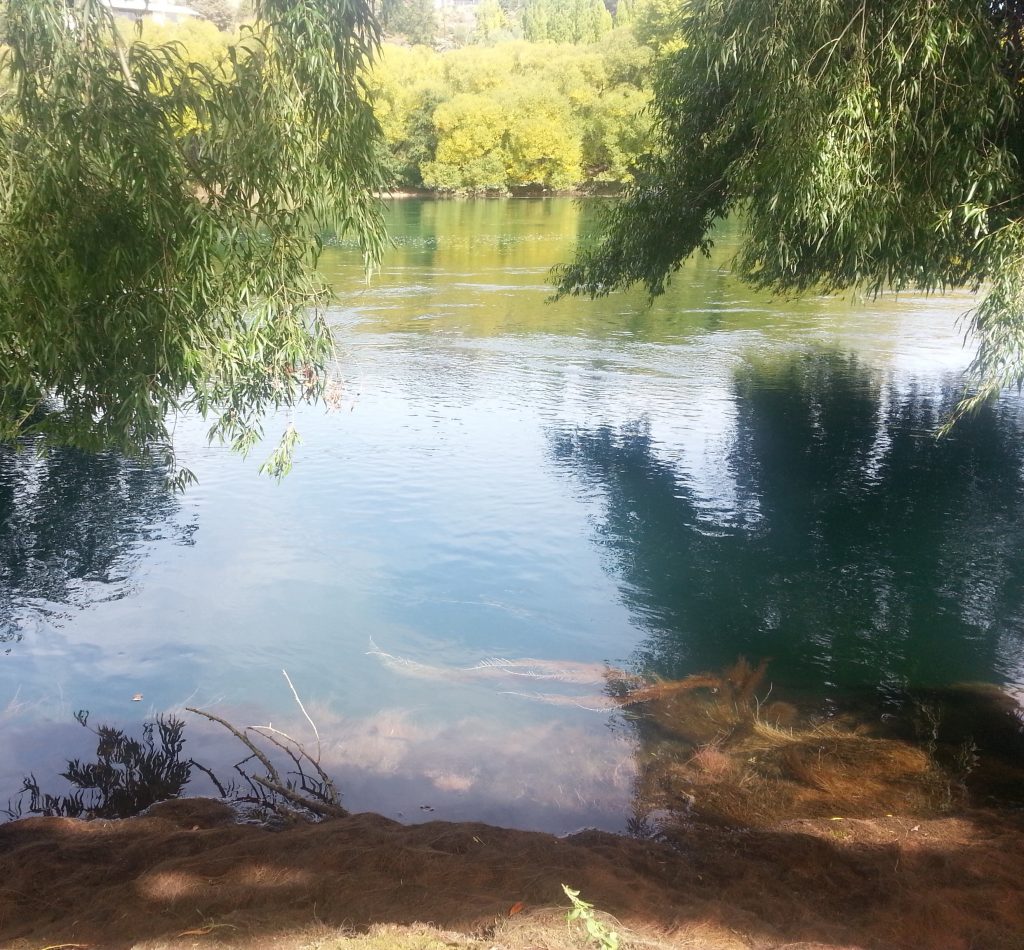
I was not wrong, and soon pulled my struggling prize from the shadows. Had I been more skilled I may even have managed to catch more, as I had several strikes. Still I was extremely impressed with myself not only for catching a fish, but also for correctly identifying the right place to sling my line.
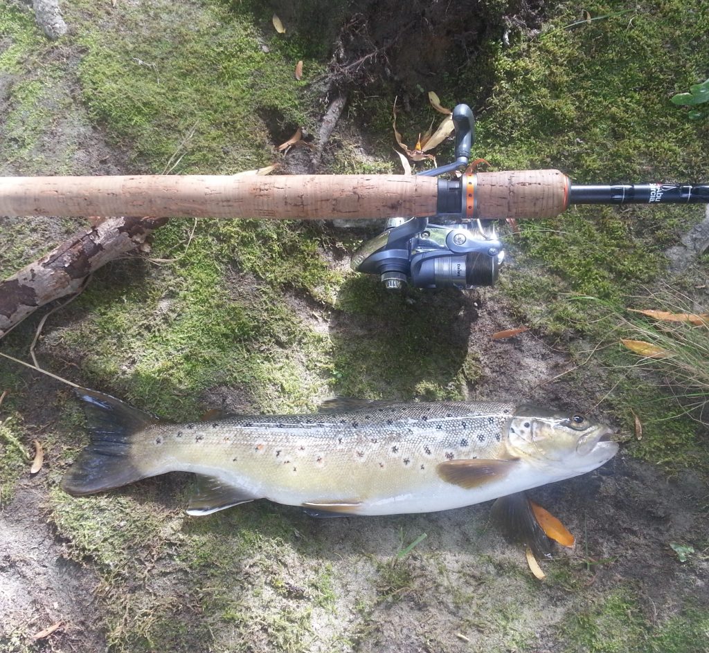
I returned to camp with my prize, ready to report to Dad my achievement and notify him that he needed to buy a few boats so I can keep up with the cool kids. He too had had a good time scouring the hills for insects with his buddies. All too soon it was time for us to leave this sunny Central paradise (via pies) and return to our chilly Dunedin digs. At least I had managed to prove my worth as a fisherman by bringing home a feast for my family.
References:
MINING AT BALD HILL FLAT. Dunstan Times, Issue 1782, 31 July 1896
POVERTY BEACH PICKLE. Alexandra Herald and Central Otago Gazette, Issue 1548, 28 July 1926
Informational panels provided on site
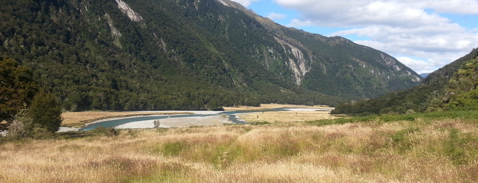


A very nice feast the fish was. Thanks Amanda
That fish is very big! I think, we cant find like taht, except in Lombok and around that area, you have to visit there!