With a week to kill before I left Dover for my great British road trip, I thought it might be as good a time as any to pop back across the channel and do a few more lengths of the Via Francigena. I also wanted to test whether I could carry enough load to make multi-day hikes a possibility, so I packed a lightweight single-person tent and a sleeping bag along with a few provisions and hopped on the ferry back across the channel.

I had been intending to return to Calais to visit the migrant camp known as the jungle, but I’d tarried too long and arrived the day after it was cleared. I made a token effort to make it to the site of the camp, but became quickly discouraged by the amount of armed soldiers hanging around. It was already after 11am, I rationalised, and if I wanted to make it to Wissant by sunset I couldn’t delay any longer. It’s not that I’m a coward, since I fully intend to try again on the way back…right?
My intended route for the day was a 20km stretch west along the coast from Calais to the town of Wissant, which is the first French leg of the journey before the trail heads inland. Technically I don’t think Sigeric the Serious did this part of the trail, he would have landed directly in Wissant from England, but for modern pilgrims the usual landing place is in Calais.
With that I set off along the wide stretch of loose sand between the ocean waves and dunes above. When last I’d been in Calais I’d been attracted to the western end of the promenade running above the beach because I thought I saw some intriguing shapes in the dunes beyond. When I’d got to the end and seen nothing of note I assumed I’d been fancying things in my half-sick state, but now I discovered that in fact had not been hallucinating.
Several huge concrete gun emplacements had been built on the dunes here, although erosion of the sand seems to have caused them to side down to the beach. I guess that they were part of the Atlantic Wall, a huge coastal fortification project pursued by the Nazis during World War Two, but what the otherworldly sight brought most to mind for me was the desert graveyard of fallen space ships from Star Wars: The Force Awakens. The constant low rumble of passing cruise ships only added to the fantasy.
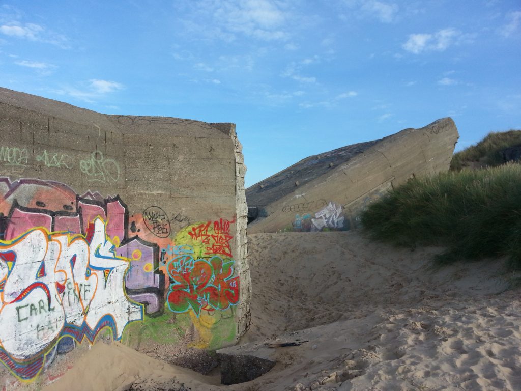
I explored only briefly as I still had a long way to go, and continued along the beach, passing row upon row of timber groynes. Several sea-anglers were trying their luck and there were plenty of dog-walkers and joggers out taking advantage of the mild autumn weather. I passed a young man doing stretches beneath the dunes but quickly moved on upon realising he was stark naked.
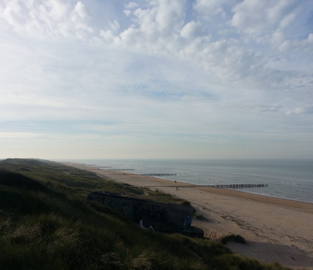
After what seemed like an infinity of groynes (but thankfully no more groins), I reached Blériot-Plage by the village of Sangatte. The beach is thus-named because it was the take-off point for Louis Blériot on his famous first crossing of the Channel by airplane in 1909. I had now visited both ends of his historic journey, since I’d already visited the memorial of his landing on the white cliffs of Dover.
There was a sign here for the Via Francigena directing me on to the main street of the town of 4700, running parallel to the beach.
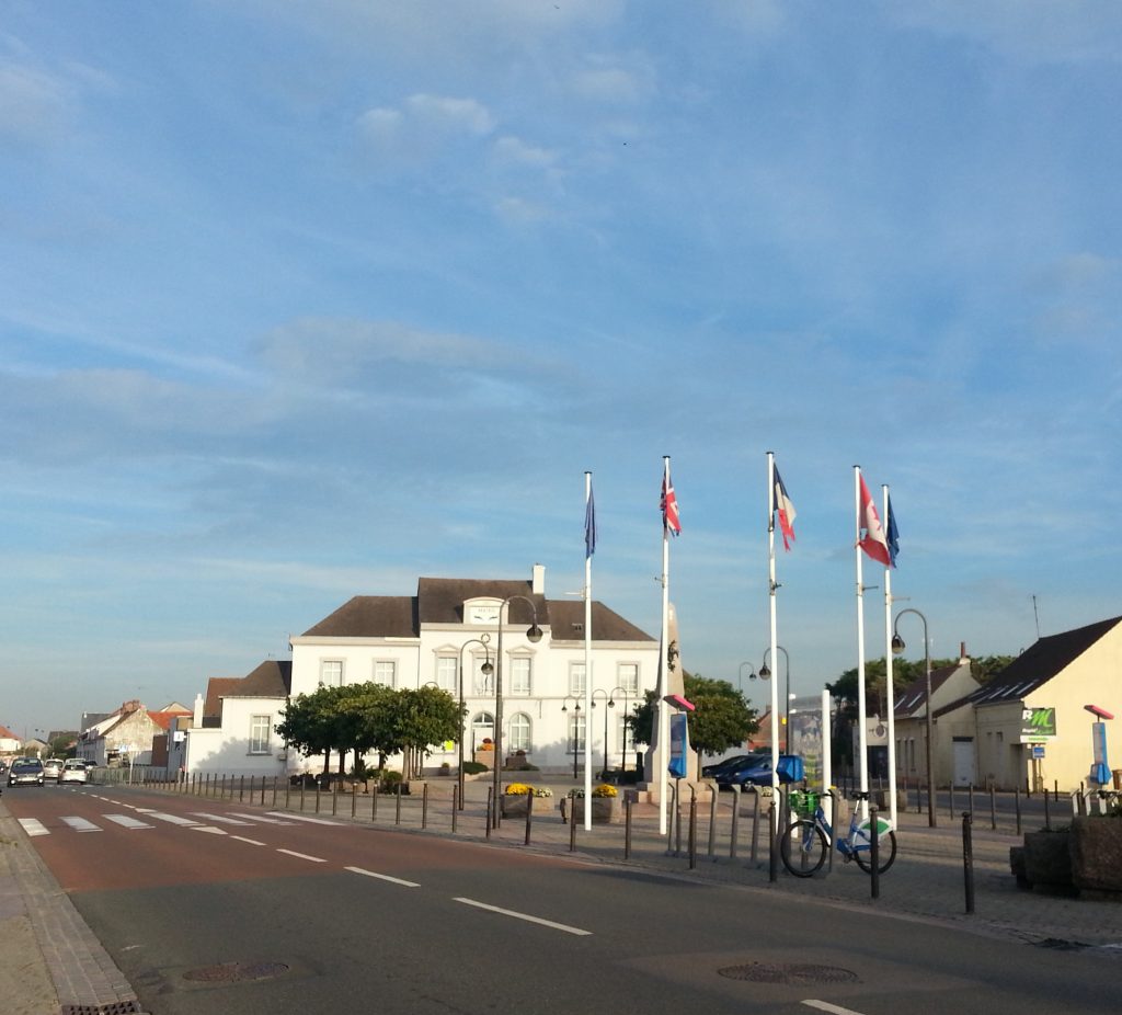
I didn’t see any further signs as I neared the end of town, and not wanting to end up walking along a road I headed back down on to the beach. I knew that the trail generally followed the coast line so I figured I couldn’t get lost as long as I followed the shore. I soon began to wonder if I might have made a foolish decision as a cliff loomed higher and higher above me as I frantically tried to work out the likelihood of the tide rising to trap me on the beach.
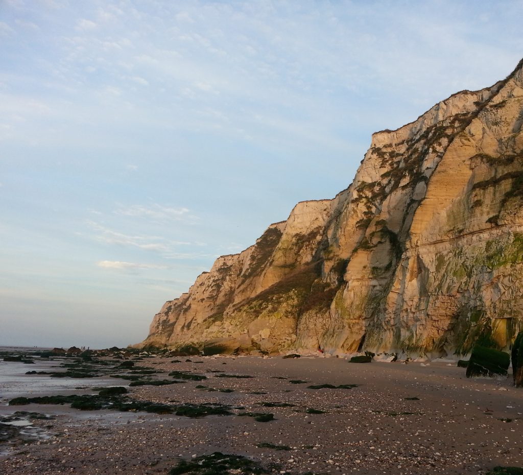
My attention was divided between worry that I wouldn’t be able to get off the beach before dark, and the increasingly gorgeous light display as the sun approached the horizon.
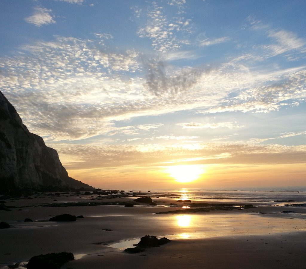
Above I spotted more pieces of the famous Atlantic Line, now at thee mercy of erosion. Some had fallen already, but others were still clinging on tenaciously.
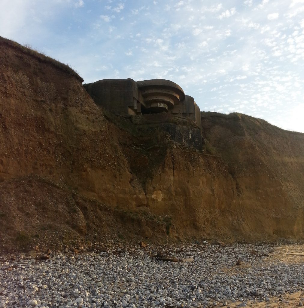
As I continued, I noticed a few more people on the beach, so I deduced there must be a way up somewhere ahead. Soon I could make out in the distance a large concrete staircase at a cleft in the cliff so I breathed a sigh of relief.
I had come near to the town of Escalles, and by now the sun was on the point of setting and quite a crowd had gathered to watch the spectacular show. I sat on a landing half way up the stairs from which I could see the orange sunset reflecting off numerous small channels through the sand created by water seeping out of the cliff.
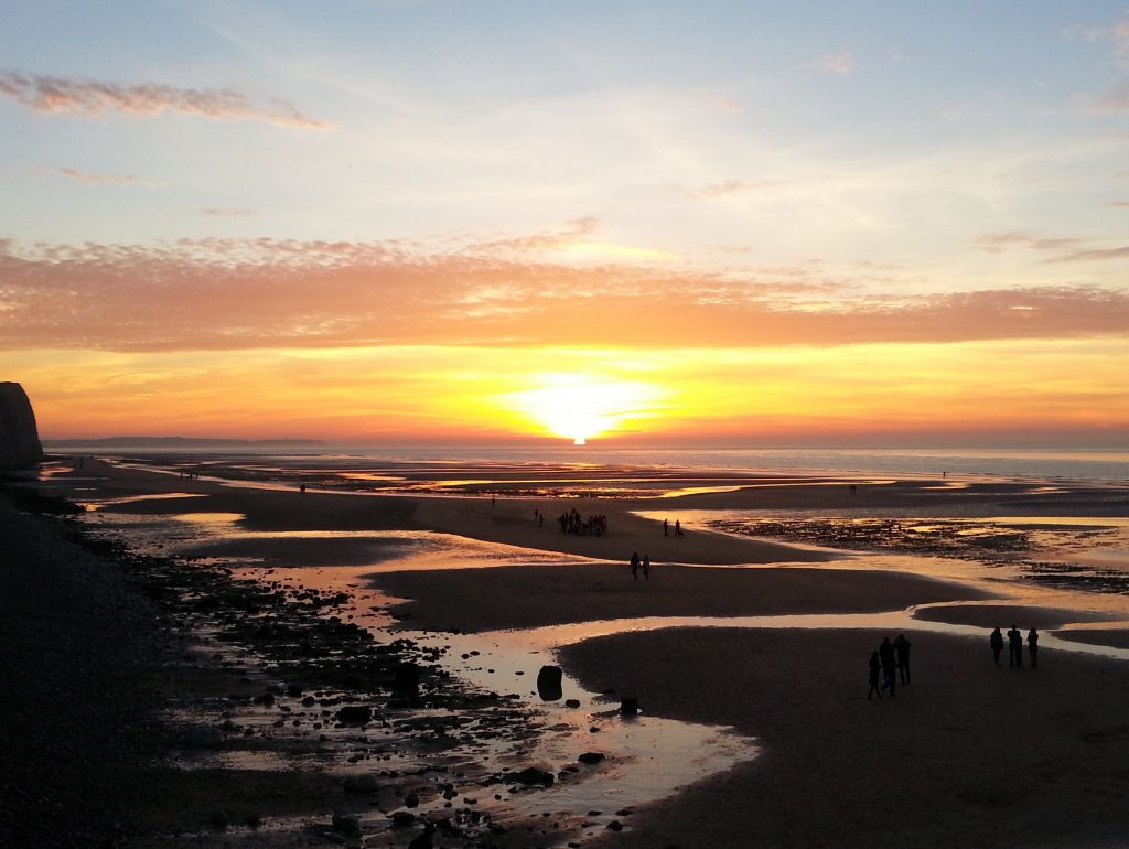
The only other sunset I’ve witnessed that rivalled this one was the one I observed from Gillespies Beach in April of this year.
But as dusk fell the reality of my situation began to sink in. I was still some way from Wissant and I didn’t fancy stumbling along the beach in the dark. I headed up the steps and found the official Via Francigena – running along the top of the cliff. There was a car park nearby, and not knowing the French attitude towards freedom campers, I decided to walk far enough to be out of sight of anyone hanging around.
So I continued along the cliff top path until I reached a high point from which I could quite some distance in both directions. Ahead I could actually see the glittering lights of Wissant, and considered once again whether I might be able to reach it this day.
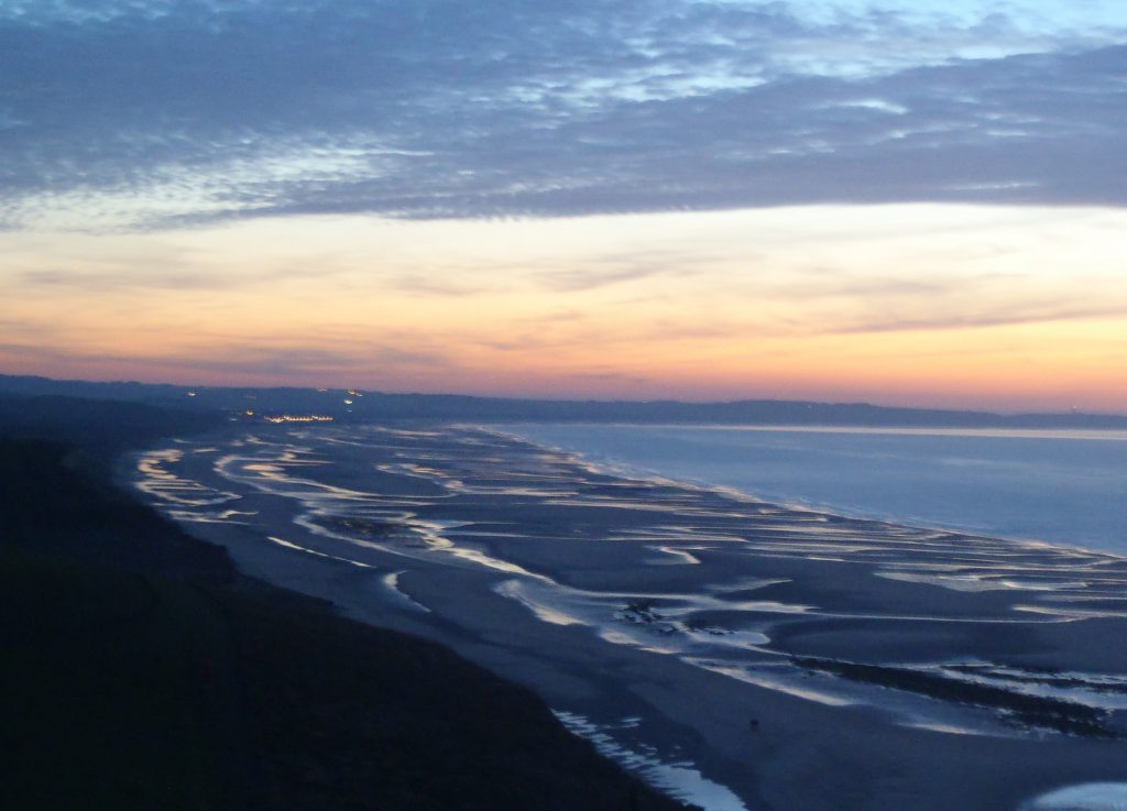
But I didn’t want to risk injury, and I had no idea what kind of freedom camping options I might find down there. On the other hand, I had found a convenient hexagonal concrete structure set into the ground, which would provide me both shelter and privacy. So I quickly pitched my lightweight tent in the facility kindly provided fifty years ago by the Nazis and huddled inside my single thin sleeping bag.
I had been warned by a friend to always take adequate ground mats when camping, because the ground would suck the heat out of an unwary camper’s very bones. But I had been determined to pack as lightly as possible, and figured that the weather was still not too cold for a hardened Kiwi woman like me, so in typical fashion I’d ignored the advice.
Turned out the ground was indeed pretty cold. Not enough to make me miserable, but enough to wake me up several times and induce wistful dreams of roaring fires. But I awoke with the sunrise ready to tackle the remaining hour or so to Wissant.
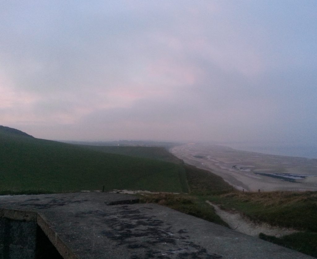
So I picked my way carefully down the cliff top trail and soon ended up on the beach once again, passing what was either a washed-up blue jellyfish or an escaped boob implant. It was not long before I was drawing close to the small fishing village of just over a gigabyte of people.
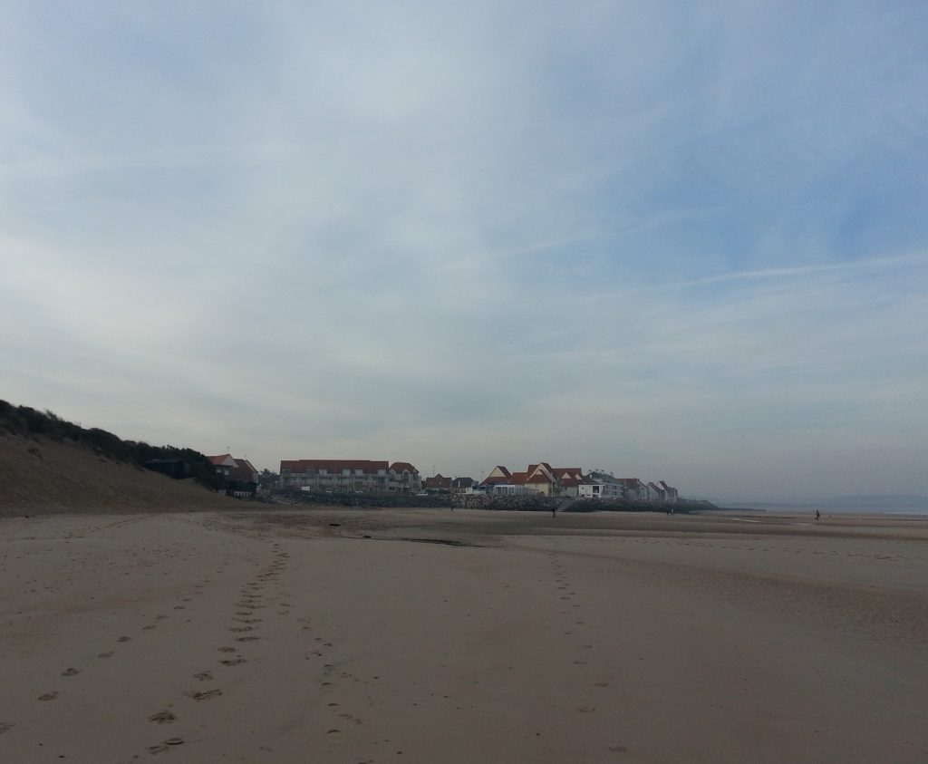
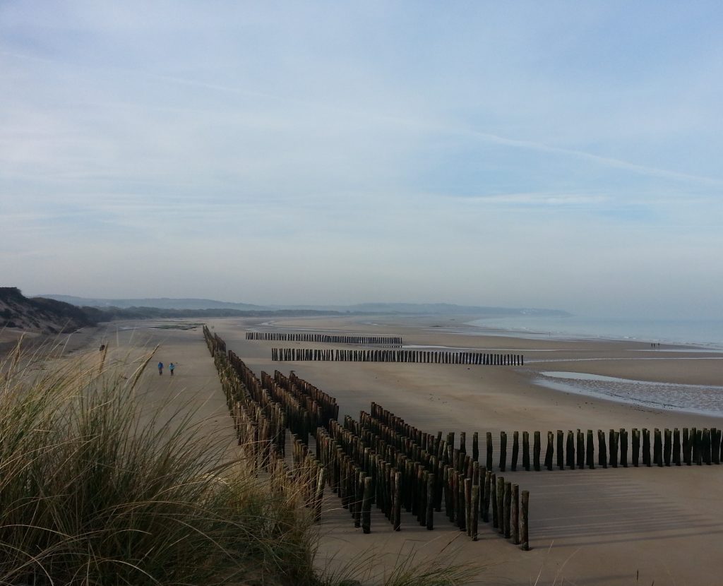
I made it to yesterday’s destination just as the locals were coming to life, bringing their dogs down to the beach and children to play on the dunes. Researching for my earlier trip through France, I’d looked up “abandoned places near Calais” and read that there were old fortifications on the beach somewhere near Wissant. I tromped to the end of town to see if I could find any, but all I could see was a whole lot more timber groynes.
Puzzled, I returned the way I came and that was when I spotted some structures on top of the dunes – which would explain why all the children were hanging around up there. I went to have a peek myself and could only be thankful that I hadn’t made the whole trip just to see them, because they weren’t any more exciting than the fortifications I’d been seeing all along the coast, and there wasn’t even any way inside to explore.
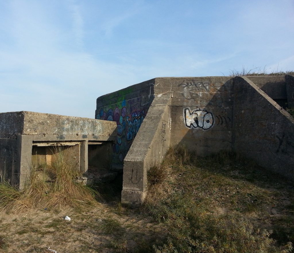
The fortifications might have been pretty boring, but I was still over the moon about the sunset I’d witnessed and pleased to have completed another stretch of Sigeric’s pilgrimage – even if I was running slightly behind schedule. I had to find some breakfast quickly before heading back out on to the trail, because the plan for today was to make my way inland and reach Guines – a further 20km added to what I’d already walked this morning.
But that sorry tale is a story for another day – and I’ll leave this one on a high note as I basked in the warm morning sunshine and satisfaction of a walk well done.

Great sunset pics…Well done