Having heard about the Via Francigena, a pilgrimage route that runs all the way from Canterbury in the UK to Rome in Italy, I thought I would tackle a small section of it. I wasn’t ready to commit to walking all the way to Rome, but I felt I could handle the fourteen kilometres from Shepherdswell, a small town south of Canterbury, to Dover where I was currently staying.

The easiest way to Shepherdswell was by train, a journey that only took twenty minutes. I disembarked onto the deserted platform and followed a narrow path on to a similarly quiet street. Naturally, I began walking in entirely the wrong direction, and was sent back the way I came by a pair of bemused locals.
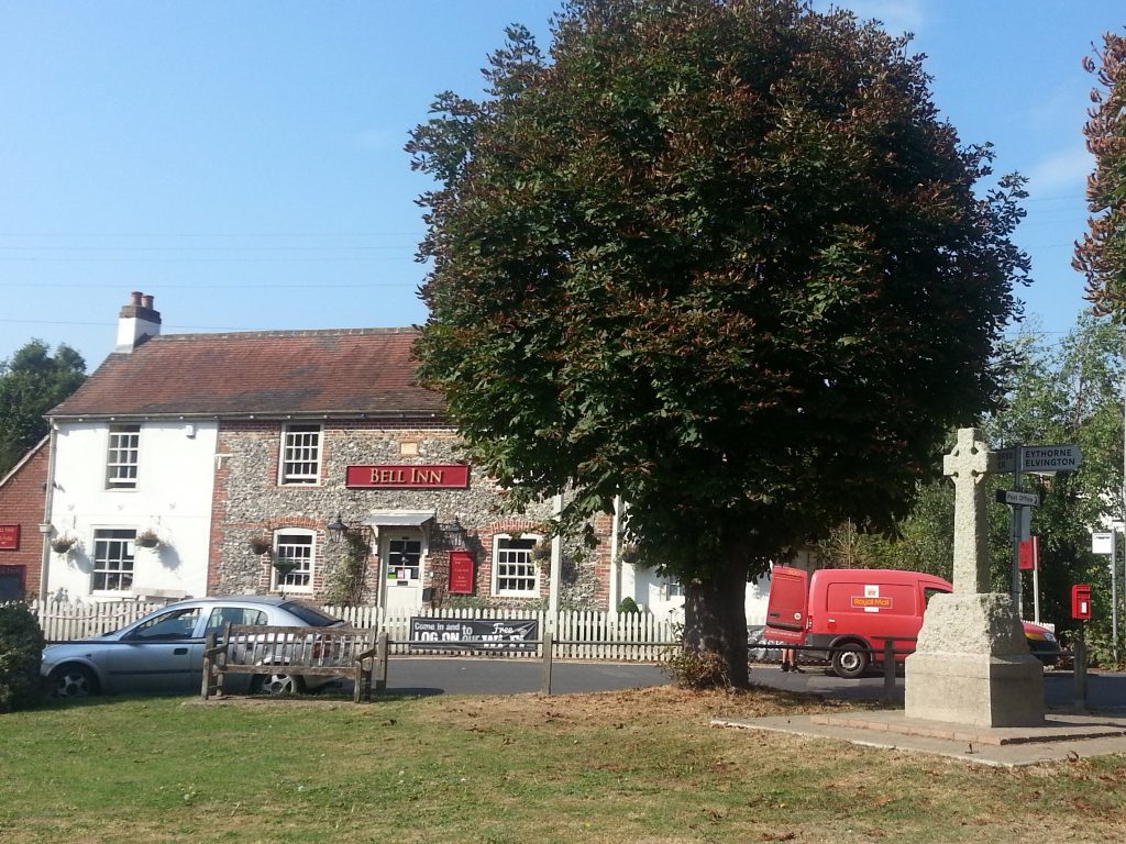
After that inauspicious start, I finally found the village green and beginning of this section of the Via Francigena. Here was the sign explaining the origin of the village’s name – nothing to do with a shepherd or a well at all, it was originally known as Sibbertswold, meaning Sibbert’s Wood, and has been corrupted over time.
Also to be found here is the historic Bell Inn, which has been a pub since at least 1872! Which means stopping in for a drink here would be participating in a time-honoured tradition…but then I might never set out on my walk, so not today.
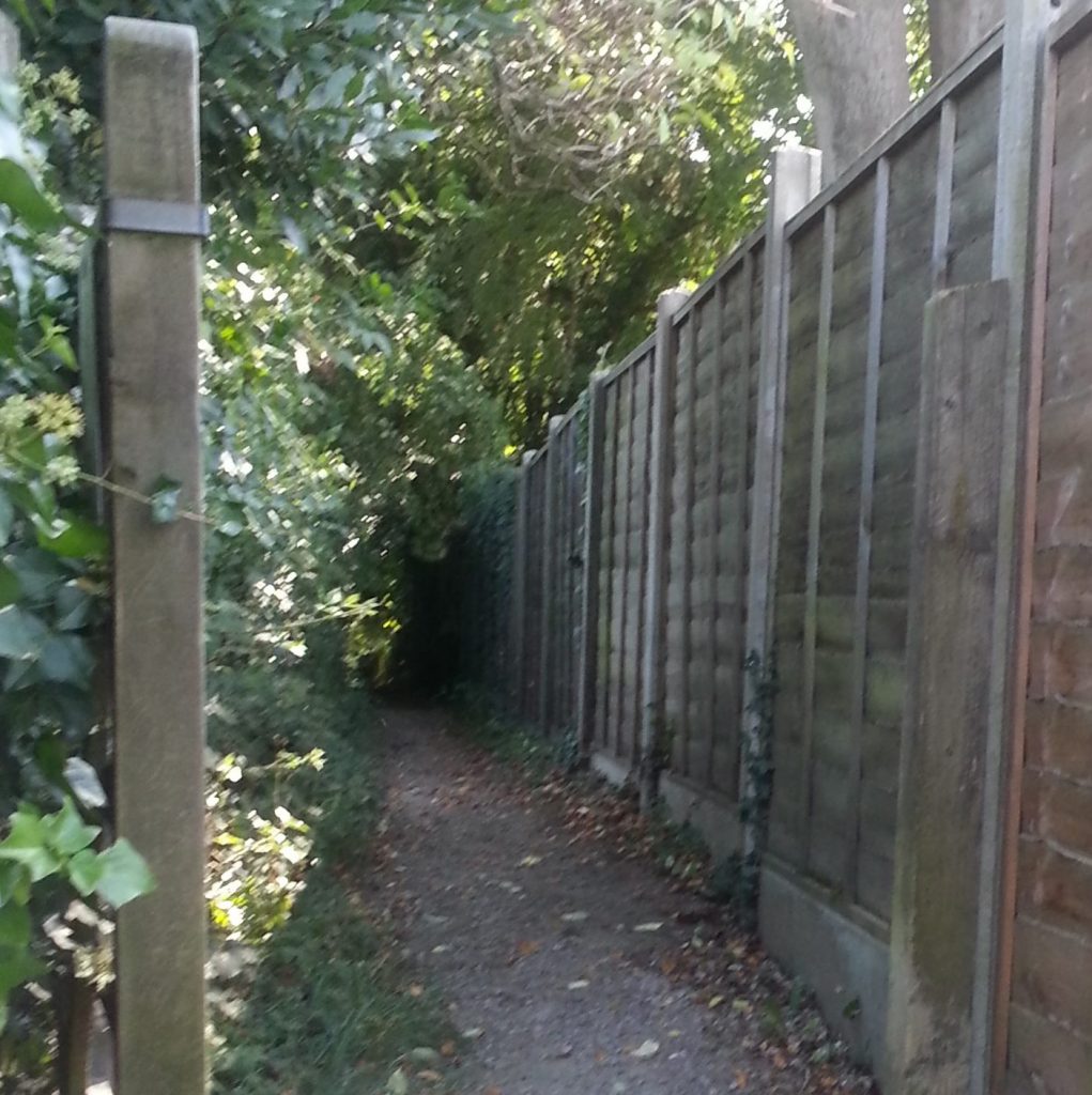
I searched about for my path and eventually located a narrow trail through the bushes, signposted for the North Downs Way, a slightly less ambitious trail which stretches 153 miles (246km) from Farnham in Surrey to Dover.
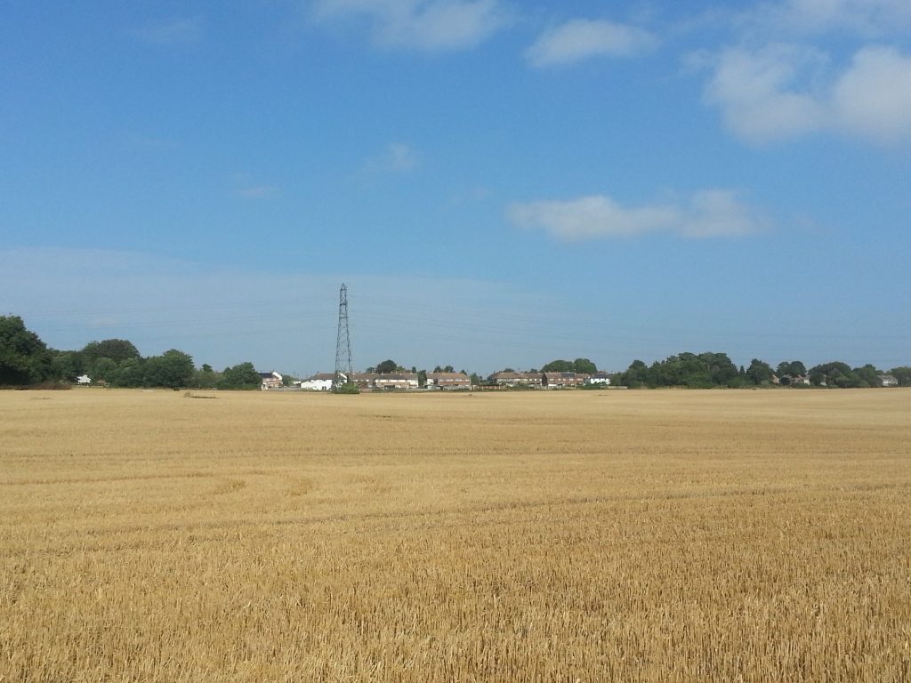
I emerged from the bushes into the first of many close-cropped golden-brown paddocks. After a month of wine and cheese and lying in the sun, it felt good to be out on a proper walk once again. And a most venerable walk this is, tracing the steps of Archbishop Sigeric the Serious of Canterbury as he slogged to Rome in the 10th century. After receiving his pallium of office from the Pope and visiting the tombs of St Peter and St Paul he recorded his homeward itinerary for the benefit of future pilgrims.
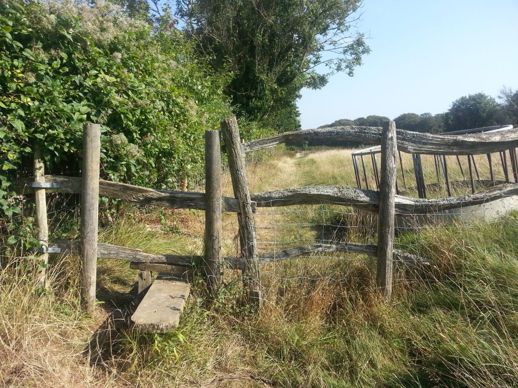
The trail mainly follows part of a dense network of public pathways through private land that stretches throughout the country. Public usage rights are protected and some of these paths may have been in use for hundreds of years. It’s quite neat to be able to walk everywhere.
I had now entered Waldershare Park, an estate established in the early 1700s, and found myself approaching “the wilderness”, a patch of forest which rather than being actively wild is a deliberately-created feature of the park.
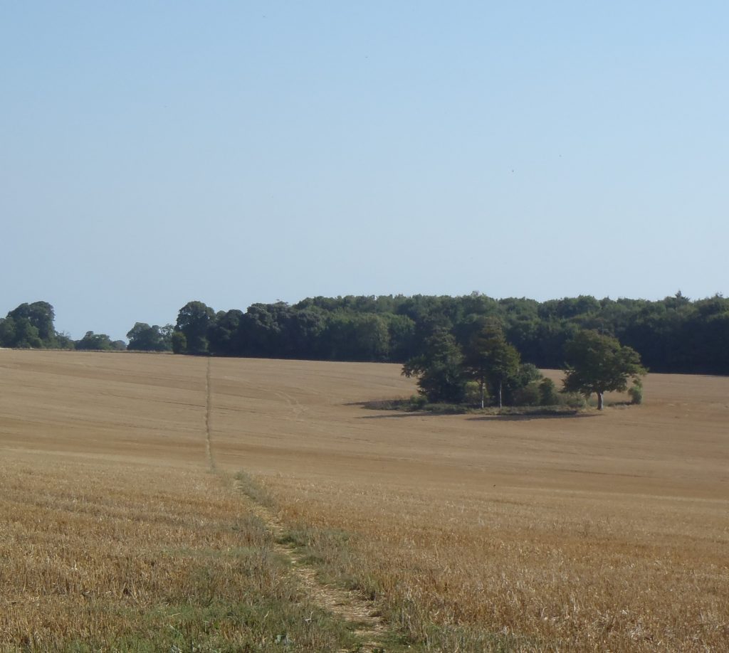
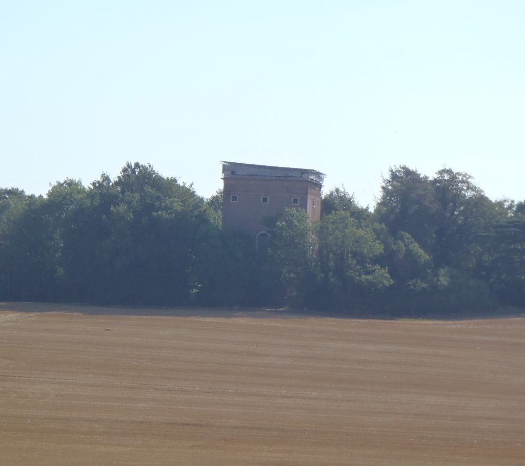
Poking out above the trees is the abandoned Belvedere Tower, sometimes also known as The Monument. It is a “folly” or ornamental building built in 1725 from which visitors to the estate would have been treated to grand views both north and south. Sadly it is now closed up and slowly crumbling away.
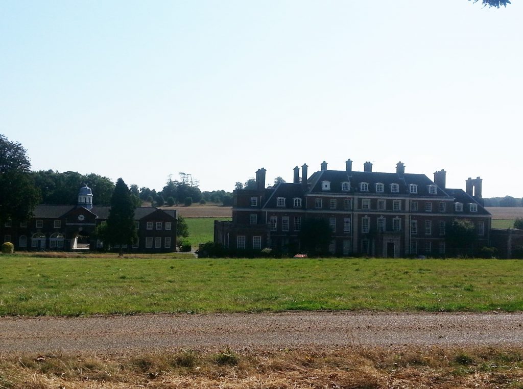
As I passed by a corner of the wilderness, the grand Waldershare House appeared ahead. This splendid building was built sometime between 1705 and 1712 and used to be the seat of an Earl. Now however, the building has been divided into flats and I don’t suppose there is even a single noble man or woman amongst the current occupants.
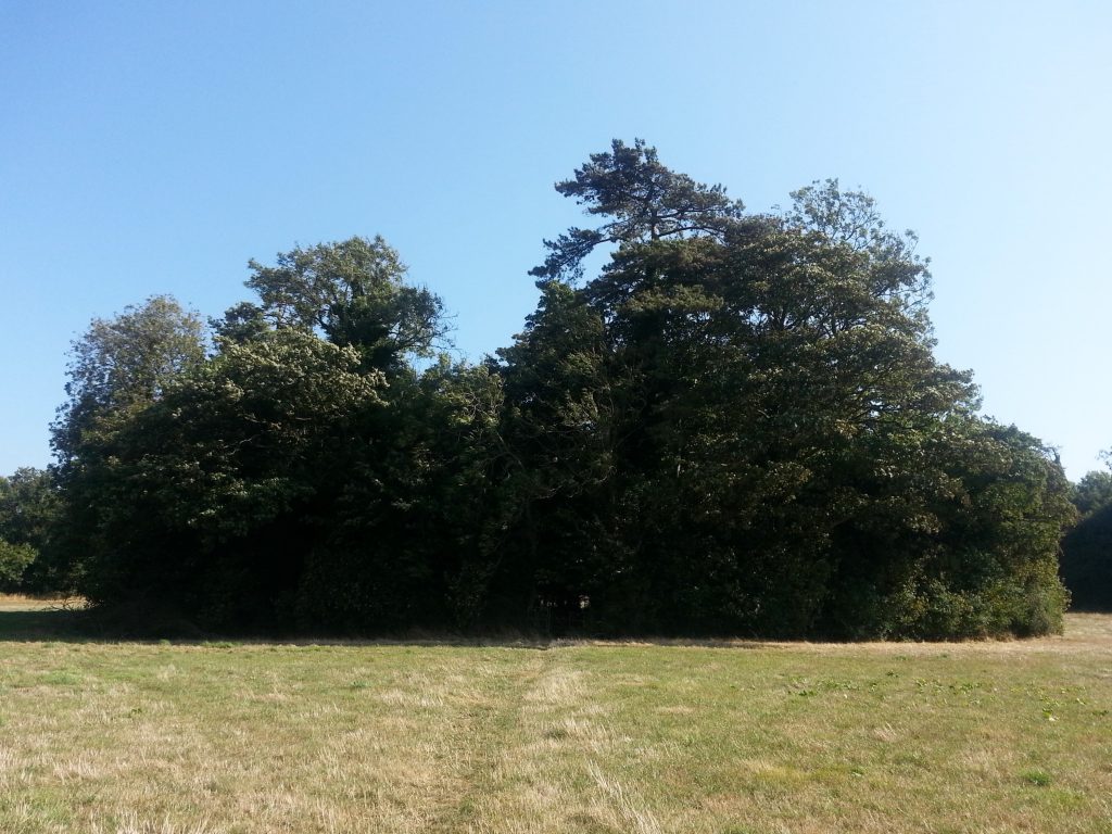
Beyond the stately house a confusing trail sign sent me once again in the wrong direction but after some study of my maps I quickly backtracked and found my way back to the path which passed directly through the amusingly-named Piddle Wood. In this tiny and perfectly circular patch of trees I took the opportunity to rest in the shade and munch on my packet of “crisps” (as they say here!).
On my way once again, I discovered that the path led immediately into a churchyard with a handy wooden bench I could have used for lunch instead of sitting on the ground, as long as I liked the view of ivy-covered headstones while I ate (and who am I kidding, of course I would, I love cemeteries!).
The All Saints Church of Waldershare dates from the 12th century but was declared redundant in 1980. I didn’t take the time to peek inside or explore the churchyard thoroughly because I still had quite some distance to go and this walk was already going to push the limits of my physical ability. So I missed several interesting monuments and two historically-listed headstones. Perhaps one day I will be back to do this place justice.
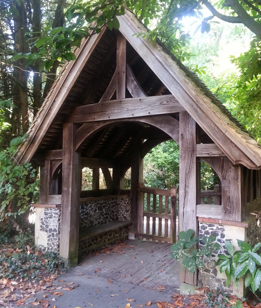
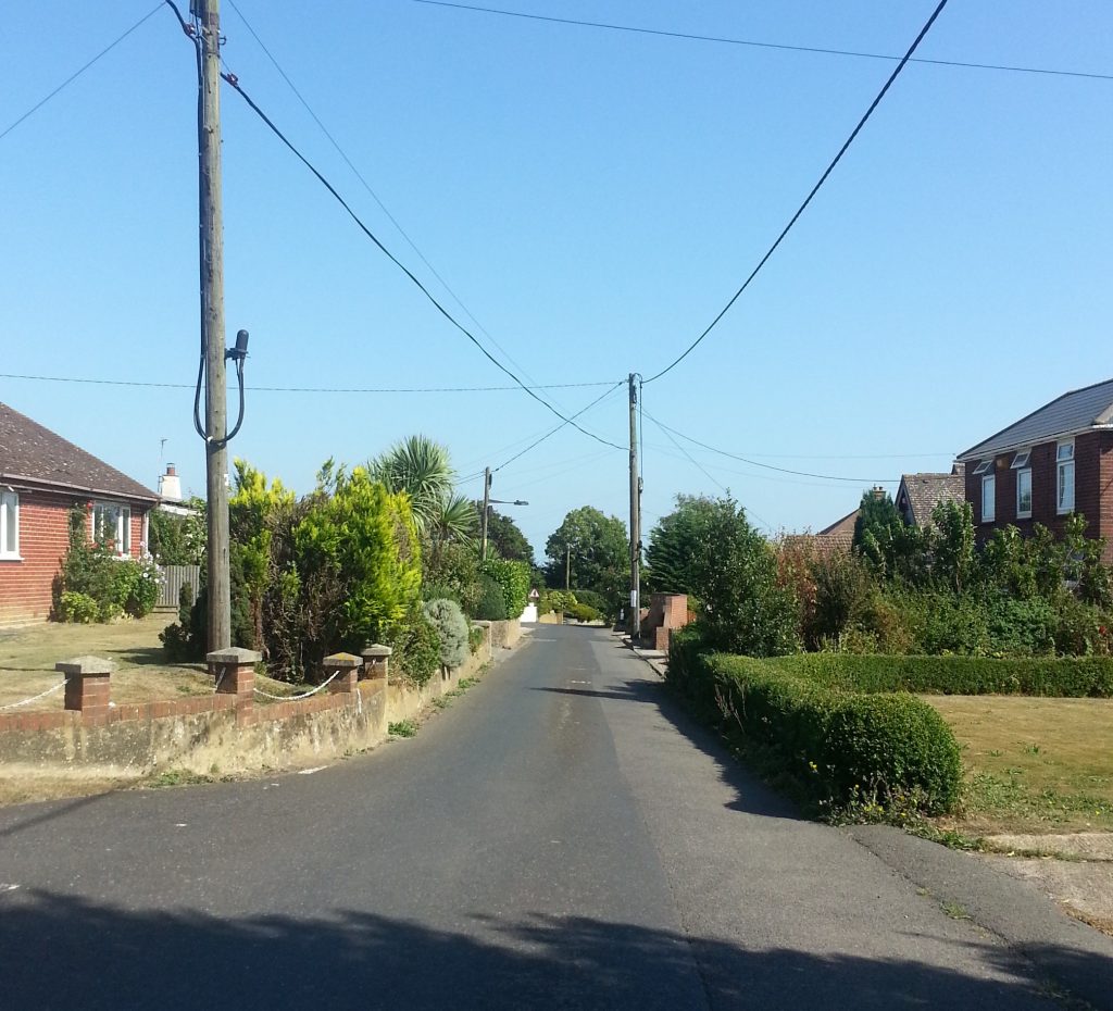
Passing through the 1930s-era lychgate I emerged onto the road and crossed the A256 before entering the quiet hamlet of Ashley. The town seemed little more than a small cluster of modern houses with neat little gardens.
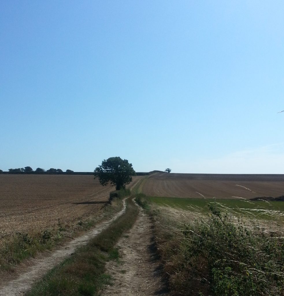
Then it was back out into the fields, hazy in the hot afternoon sun. My always-troublesome feet were getting sore, which was unfortunate because by my calculations I was only about half way to Dover.
Still I was determined to finish, not that I had much choice since I was in the middle of nowhere with no form of transport except my own two legs. And as I approached the next section of the trail I encountered a conundrum, because a large concrete block had been placed in the path and a sign declared it closed. “There is no alternate route” it continued helpfully.
That was a bit awkward, seeing as I was in the aforementioned middle of nowhere with no transport and only the maps for the very specific route I’d been planning to follow. If I strayed from my plotted course trying to find another way to Dover I could very well end up lost.
So for that reason I decided to take a chance on the closed route and slipped by the concrete block (which at least made a good place to sit while I contemplated my options) and set off along the pleasantly shady tunnel through the centre of a hedge. These hedge-tunnels were to alternate with bare fields for the rest of my journey.
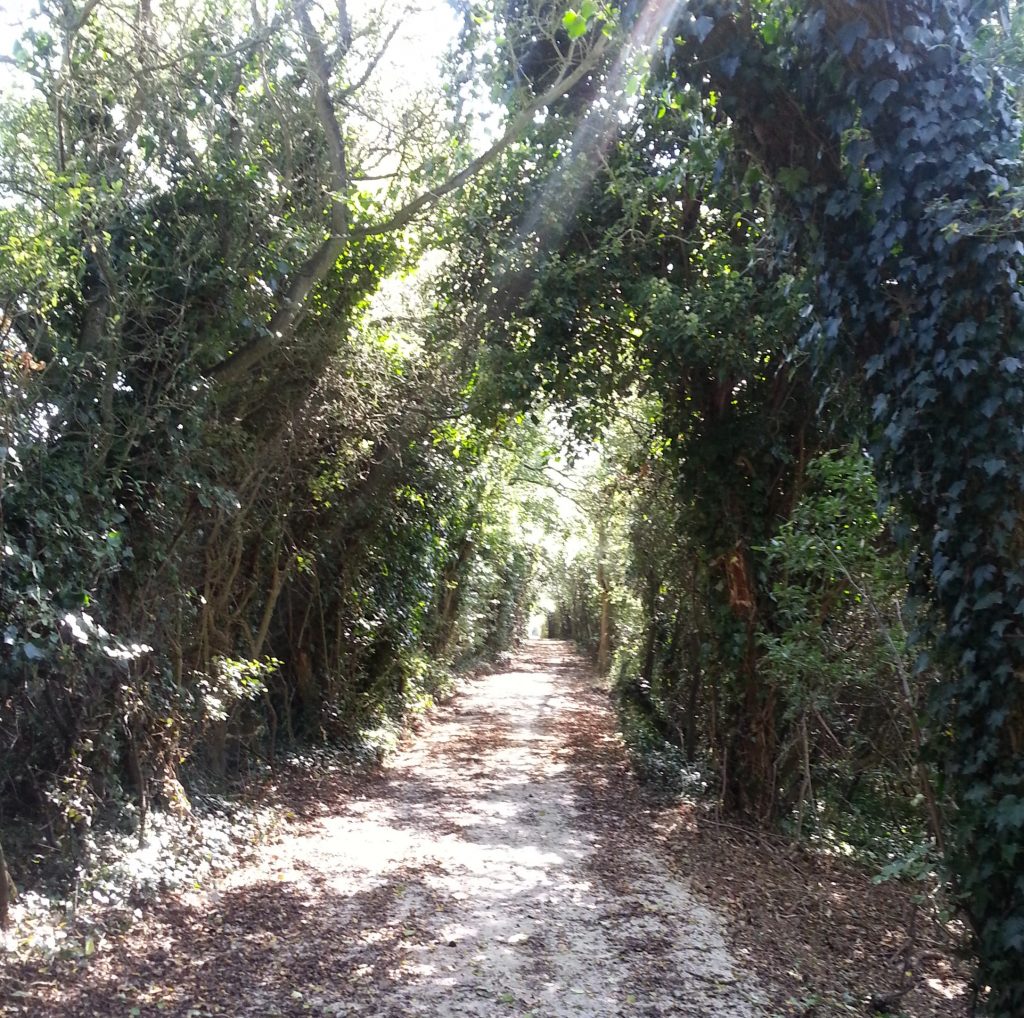
Apparently this section of the trail is closed due to mud and rutting, although there seemed to be absolutely nothing wrong with it to me – except for the intermittent concrete blocks in my way!
These closures continued almost until I reached the A2, which I was directed to walk along for some distance until I reached a bridge that could take me safely overhead. Then I had to walk back along the far side and past a small reservoir to get back on course.
Now I felt like I was on the home stretch, and glad of it. My only worry was that I wasn’t keen to walk all the way into the centre of Dover and then back up the hill to my home base. Perhaps there was another way?
I examined my map carefully, and noticed that there appeared to be a public path that intersected with my trail and would take me across to Melbourne Ave, conveniently cutting off a good portion of the remaining walk. It’s not cheating, I reasoned, because I’d already walked into town that morning to catch the train. Nobody ever said I had to do the whole walk in order.
My short cut paid off and I soon found myself safely back on the streets of Dover. As I hobbled towards my final destination I unexpectedly stumbled (almost literally) across a familiar place name.
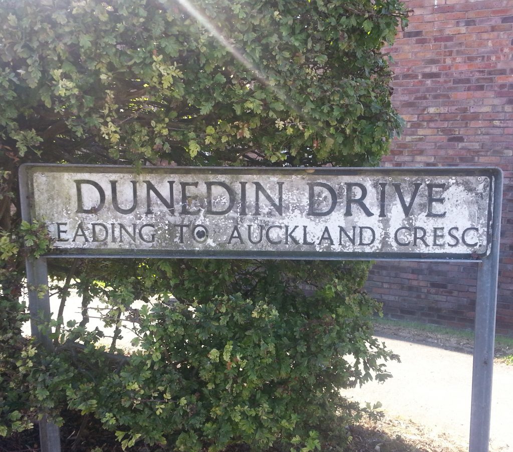
Ten minutes later I was sprawled on the couch with a tall glass of coke, regaling my hosts with tales of my epic pilgrimage towards Rome. Fourteen kilometres was a pretty good effort for me – I walked fifteen kilometres once and will never shut up about how hard it was – and I was ready for an early night.
Despite pushing the limits of my soft cheese-and-wine-soaked body, the walk was an interesting look at the new land I have found myself in, quite different from anything I’ve done in New Zealand. My next goal was to complete the stretch from Canterbury to Shepherdswell, an intimidating eighteen kilometres in length.
Can I do it? Follow my future adventures to find out!
References:
Walking towards Rome and Jerusalem
Many thanks to Keith of the Shepherdswell & Coldred History Society for information on the Bell Inn

My feet went out in sympathy ..